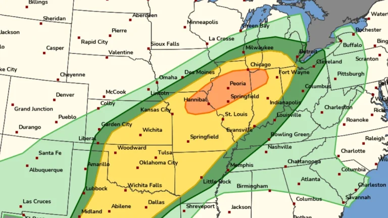
• Enhanced Risk of severe thunderstorms for parts of Missouri, Iowa, Illinois and Indiana on March 10

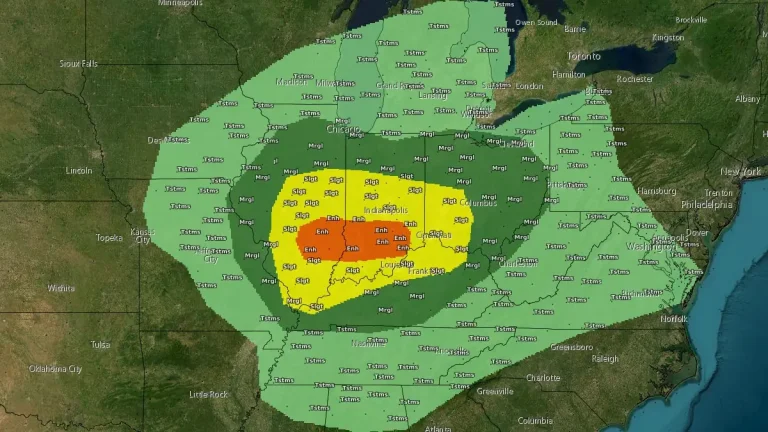
    An Enhanced Risk of severe thunderstorms is in effect for parts of the Midwest on March 10, 2026, including northeast Missouri, southeast Iowa, northern and central Illinois, and northwest Indiana. The forecast environment supports the development of supercells and organized thunderstorm clusters capable of producing tornadoes, damaging wind gusts, and large hail during the afternoon and evening hours.
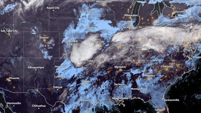
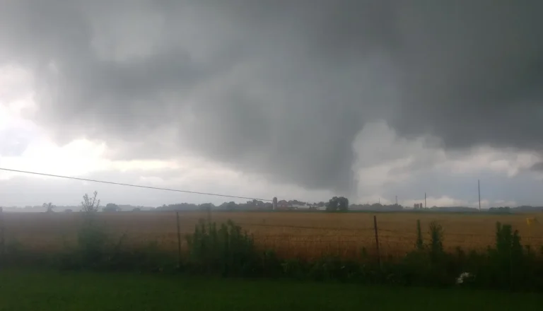
  • Enhanced Risk of severe storms with supercells capable of strong tornadoes across southern Illinois and Indiana

    Severe thunderstorms capable of producing tornadoes, large hail, and damaging wind gusts are forecast across parts of the Midwest and lower Ohio Valley on February 19, 2026, with an Enhanced Risk in place for southern Illinois and southern Indiana. The Storm Prediction Center warns that a few tornadoes may be strong, particularly near and south of the I-70 corridor during the afternoon and early evening.

  • Heavy lake-effect snow creates whiteout conditions, disrupts travel south of Chicago

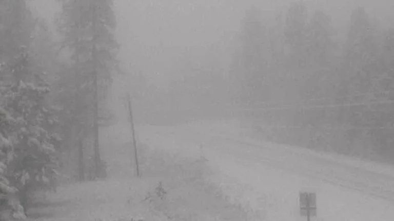
    Powerful bands of lake-effect snow brought traffic on parts of Interstate 57 (I-57) south of Chicago, Illinois, to a standstill amid whiteout conditions on the morning of November 10, 2025. The National Weather Service (NWS) warned drivers to use extreme caution as snowfall rates exceeded 7 cm/h (3 in/h) in localized bands, producing near-zero visibility and hazardous travel across portions of northeastern Illinois.