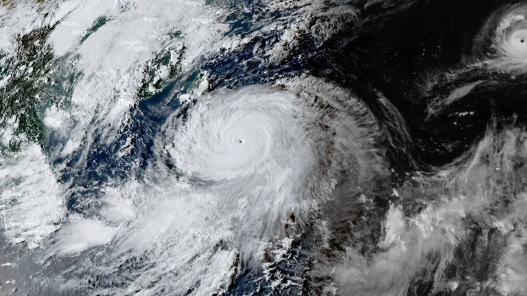
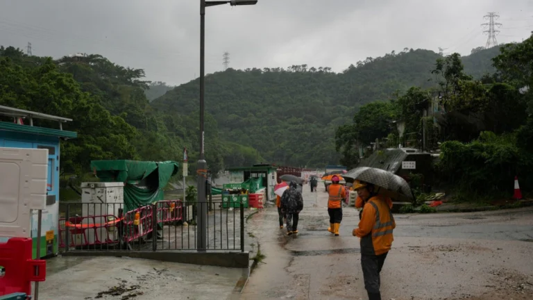
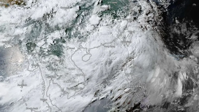
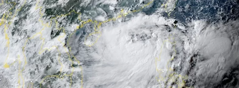
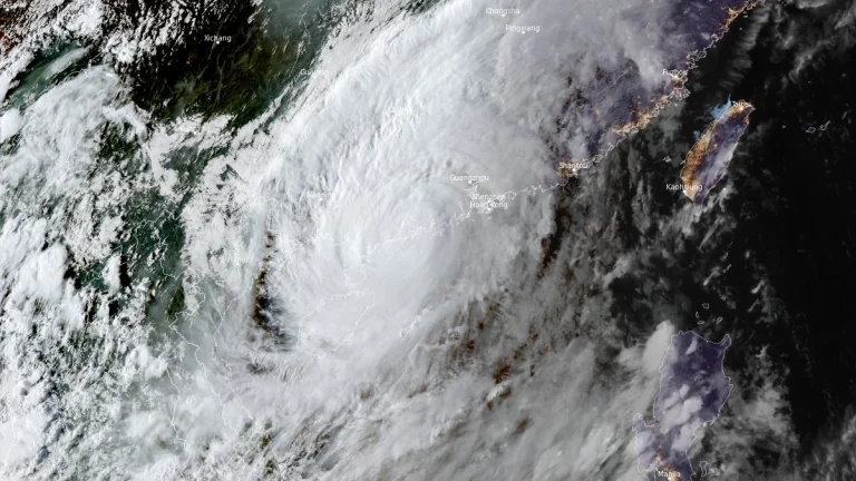
• Super Typhoon Ragasa moving toward Philippines, China and Vietnam

    Typhoon Ragasa, known locally as Nando, intensified into a super typhoon 00:00 UTC (08:00 LT) on September 21, 2025, east of Cagayan, Philippines. By 09:00 UTC, its center was located 450 km (280 miles) east of Aparri with sustained winds of 185 km/h (115 mph) and gusts up to 230 km/h (145 mph). The system is moving west-northwest toward Batanes and the Babuyan Islands, bringing life-threatening storm surges exceeding 3 m (10 feet), destructive winds, and very rough seas.

  • Typhoon Wipha strikes southern China, Vietnam braces for landfall and flooding

    Typhoon Wipha made landfall near Taishan, southern China at 09:50 UTC (17:50 local time) on July 20, 2025, producing wind gusts up to 167 km/h (104 mph), torrential rainfall, and widespread transport disruption across Hong Kong and Guangdong. Now a strong tropical storm, Wipha is forecast to re-emerge over the Gulf of Tonkin and make a second landfall in northern Vietnam late on July 22.

  • Historic rainfall paralyzes Hong Kong

    Extremely heavy rains brought by the remnants of Typhoon “Haikui” caused severe floods across Hong Kong on September 8, 2023, causing widespread disruption, evacuations, and leading to at least two fatalities.