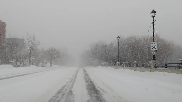
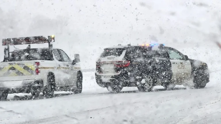
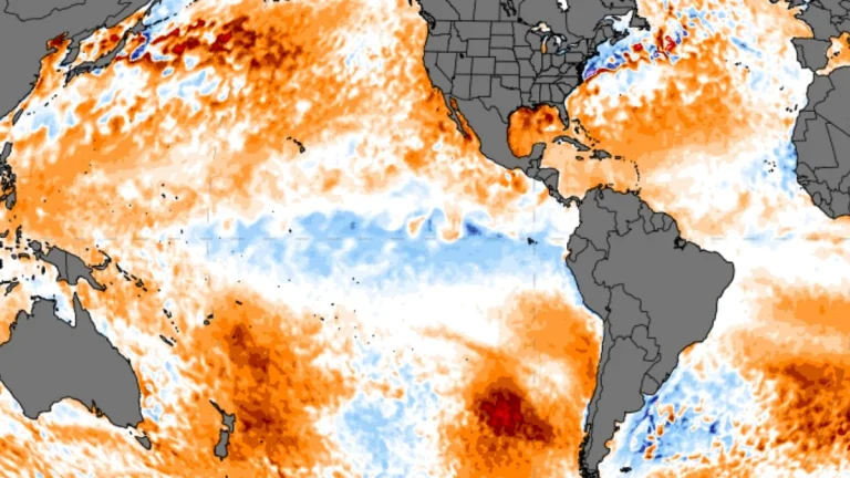
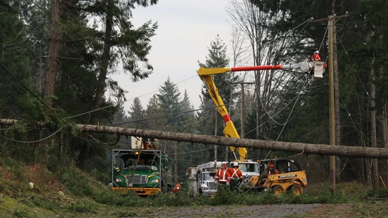
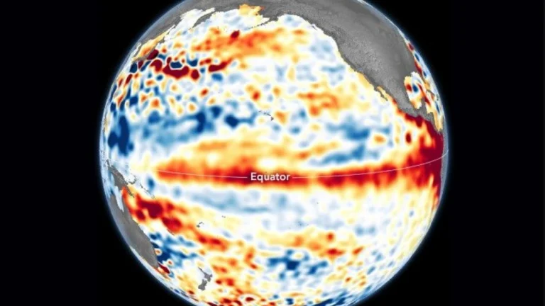
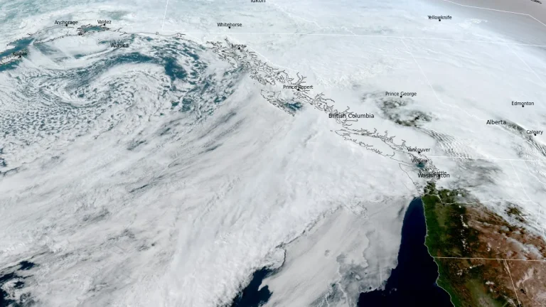
• La Niña breakdown underway as models point to ENSO-neutral conditions in early 2026

    La Niña conditions in the equatorial Pacific show signs of a transition toward ENSO-neutral conditions, with potential for El Niño development later in 2026. Observations from the National Oceanic and Atmospheric Administration (NOAA) and the European Centre for Medium-Range Weather Forecasts (ECMWF) show subsurface ocean warming and westerly wind anomalies across the central Pacific, indicating the breakdown of the three-year La Niña phase.

  • Rapidly intensifying winter storm to strike Ontario with snow, ice, and high winds

    A powerful bomb cyclone is forecast to strike Ontario bringing heavy snow, freezing rain, and severe winds from Sunday through Tuesday, December 28 to 30, 2025, as the deepening low crosses the Great Lakes. Environment and Climate Change Canada has issued Winter Storm and Freezing Rain Warnings, with snowfall totals of up to 50 cm (20 inches) and gusts exceeding 100 km/h (62 mph) expected in some areas.

  • Weak La Niña to end as ocean warming signals new El Niño phase in 2026

    Forecast models suggest that El Niño conditions are likely to develop during 2026, marking a shift from the ongoing weak La Niña. The transition is expected to influence jet stream patterns and temperature anomalies across the United States, Canada, and Europe, potentially reshaping rainfall distribution and winter storm activity in the Northern Hemisphere.

  • Strong Alberta Clipper to bring up to 40 cm (16 inches) of snow and flash freeze across northern Ontario, Canada

    A strong Alberta Clipper storm will move through northern Ontario on Thursday and Friday, December 18 and 19, 2025, dropping 20–30 cm (8–12 inches) of snow, gusts up to 80 km/h (50 mph), and a sharp temperature drop. The system will create blowing snow and flash-freeze conditions on major highways, including routes between Kenora and Thunder Bay.

  • Arctic polar vortex shows rare early signs of weakening and displacement

    Forecast data indicate an early weakening and displacement of the stratospheric polar vortex over the Arctic in October 2025, as a developing high-pressure anomaly over Greenland interacts with the circulation earlier than usual, increasing the chances of colder air movement toward the mid-latitudes of North America and Europe.

  • Storm parade and strong atmospheric river forecast for southern B.C., heavy rain into the weekend

    A strong atmospheric river is forecast to shift southward along the British Columbia coast between September 26 and 29, 2025, bringing several low-pressure systems and periods of heavy rainfall to Vancouver Island and the South Coast. Forecasts suggest up to 100 mm (4 inches) of rain in west-facing coastal mountains, with persistent showers likely across the Lower Mainland.