• Tropical Storm Rachel brings flash-flood threat to Southern California and U.S. Southwest

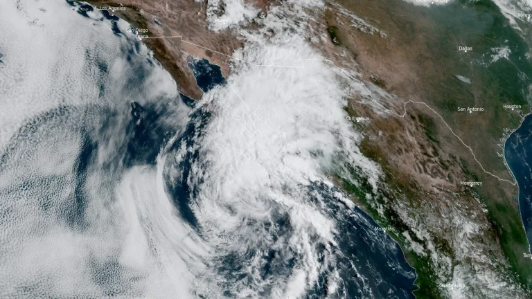
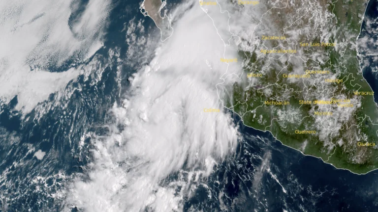
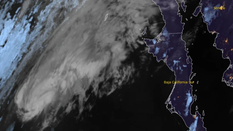
    Tropical Storm Rachel strengthened while accelerating northeast over the eastern Pacific at 06:00 UTC on October 10, 2026, and is forecast to approach northern Baja California or Southern California late October 10 or early October 11. Heavy rain, flash and urban flooding, strong winds, dangerous surf and coastal flooding are forecast across parts of the southwestern United States, where the Weather Prediction Center (WPC) has issued Moderate Risk areas for excessive rainfall.
  • Hurricane Polo makes landfall south of Las Barrancas, Baja California Sur, Mexico

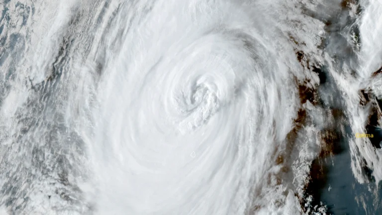
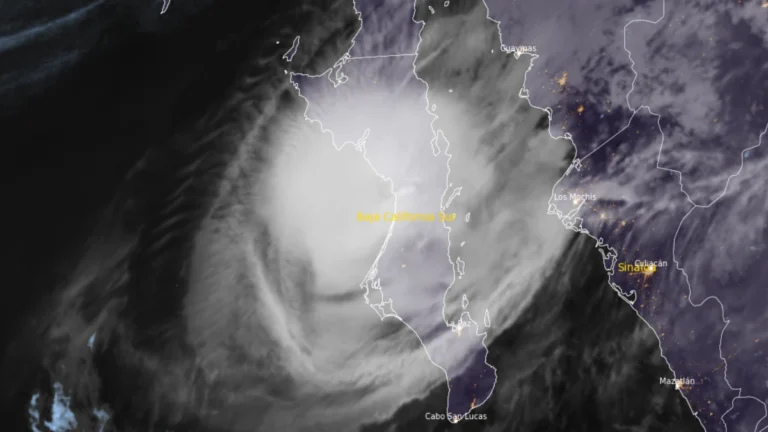
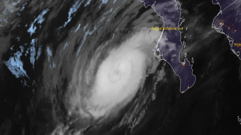
    Hurricane Polo made landfall on the west coast of Baja California Sur just south of Las Barrancas at approximately 23:00 MST on September 28 (06:00 UTC on September 29), with maximum sustained winds of 175 km/h (110 mph), according to the US National Hurricane Center (NHC). Life-threatening winds and flash flooding were ongoing, and Polo was forecast to cross the peninsula before making a second landfall in southern Sonora as a hurricane on Tuesday morning.

  • Hurricane Polo forecast to make two landfalls in Baja California Sur and Sonora, Mexico

    Category 3 Hurricane Polo was approaching Baja California Sur on September 28, 2026, as Hurricane Warnings covered sections of both coasts of the peninsula and mainland Sonora. At 05:00 MST (12:00 UTC), the National Hurricane Center placed Polo 175 km (110 miles) southwest of Cabo San Lázaro with maximum sustained winds of 185 km/h (115 mph), and forecast landfall in Baja California Sur late that afternoon or early evening before the cyclone reached southern Sonora as a hurricane late that night or early September 29.

  • Baja California Sur prepares for Hurricane Polo ahead of Monday landfall, Mexico

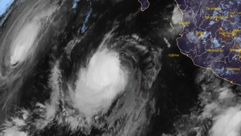
    Hurricane warnings covered portions of both coasts of Baja California Sur on September 27, 2026, as Major Hurricane Polo moved north-northwest toward the peninsula, according to the National Hurricane Center (NHC). At 02:00 MST (09:00 UTC), the Category 3 hurricane had maximum sustained winds of 195 km/h (120 mph) and was forecast to approach the western coast on Monday, cross the peninsula Monday night and approach northwestern mainland Mexico early Tuesday.

  • Lorena weakens to tropical storm but continues to pose flooding risk in Baja California Sur and U.S. Southwest

    Hurricane Lorena weakened into a tropical storm on September 4, 2025, after bringing heavy rains and flooding to Los Cabos, Mexico. The storm, though no longer expected to make landfall, is still going to bring life-threatening flood conditions to Baja California Sur, Sonora, and parts of the southwestern United States.

  • Tropical Storm Lorena forms in the eastern Pacific

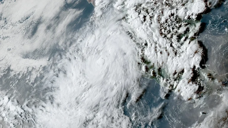
    Tropical Lorena formed in eastern Pacific on September 2, 2025, as the 12th named storm of the 2025 eastern Pacific hurricane season. The storm is forecast to reach hurricane strength before weakening and making landfall in Baja California.