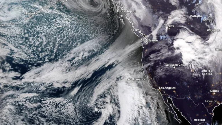
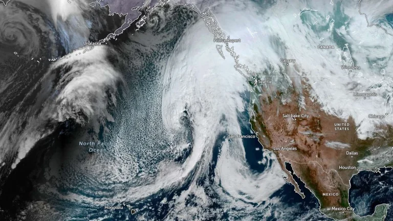
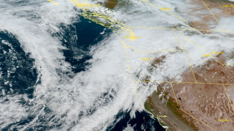
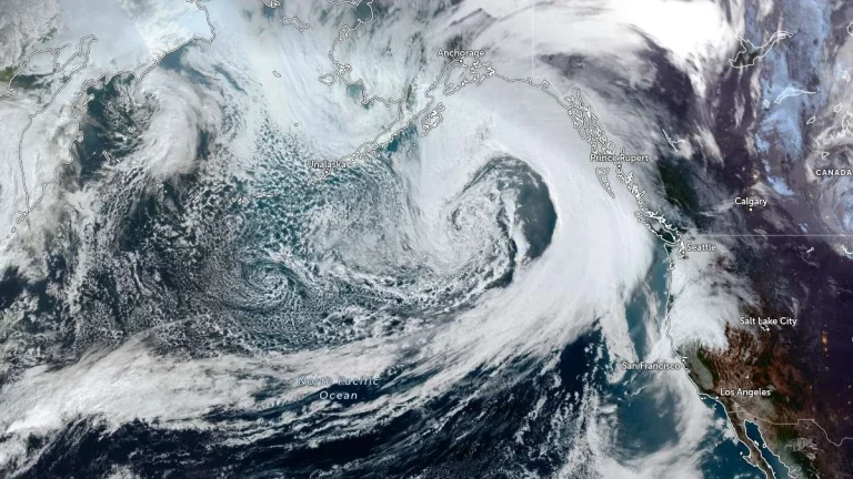
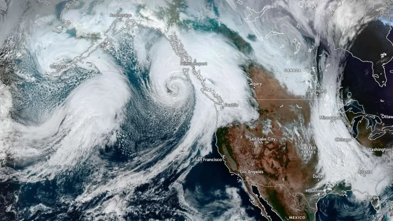
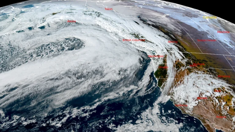
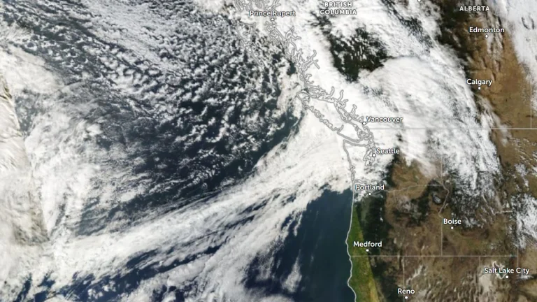
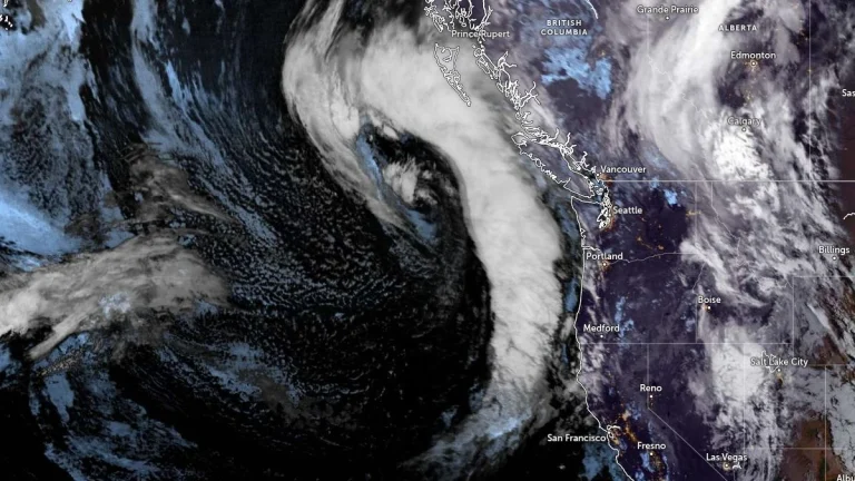
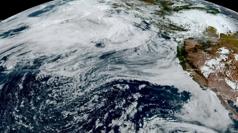
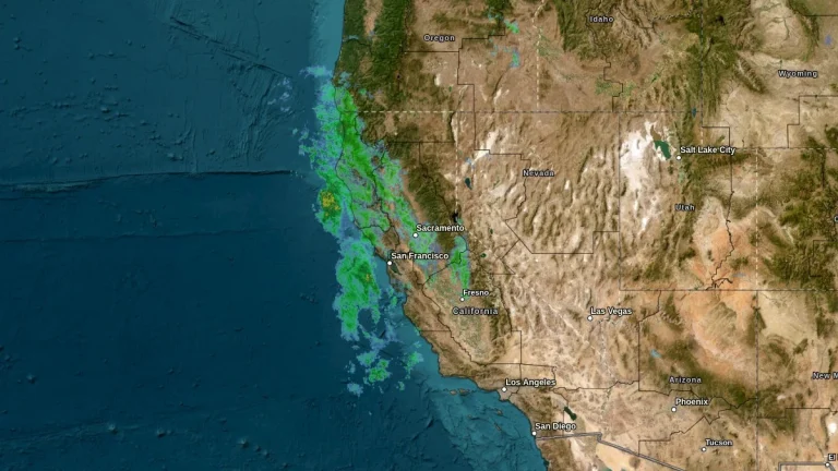
• Flood Watch and marine Storm and Gale Warnings in effect for Mendocino and Lake counties region, California

    Interior Mendocino and Lake counties are under a Flood Watch from late Wednesday, November 12, through Thursday morning, November 13, 2025, as 50–75 mm (2–3 inches) of rain is forecast within several hours. Marine Storm and Gale Warnings are also in effect offshore, where winds up to 95 km/h (60 mph) and seas up to 8 m (27 feet) are expected.

  • Atmospheric river forecast to bring heavy precipitation to California from November 12 to 15

    A developing low-pressure system over the Northeast Pacific is forecast to direct a strong atmospheric river (AR) toward California between November 12 and 15, 2025. The Center for Western Weather and Water Extremes (CW3E) indicates a high probability of moderate to strong AR conditions in Northern and Central California, with heavy precipitation possible in the Sierra Nevada and coastal ranges.

  • Four atmospheric rivers forecast to bring heavy rainfall across the U.S. West Coast

    Four back-to-back atmospheric rivers are forecast to make landfall along the U.S. West Coast between November 3 and November 9, 2025. Heavy rainfall totals of 76–130 mm (3–5 inches), with isolated amounts up to 177 mm (7 inches), could lead to localized flooding in parts of northern California and Washington State throughout the week.

  • First of multiple atmospheric rivers to bring AR4 conditions and rising streamflows to western Washington

    A strong atmospheric river is forecast to make landfall over the Pacific Northwest early on October 31, 2025, bringing heavy rainfall and high freezing levels to western Washington. The event is expected to produce AR3–AR4 conditions, with 75–125 mm (3–5 inches) of rain forecast in the Olympic Peninsula and North Cascades. Two additional atmospheric rivers are expected to follow between November 3 and 5.

  • Two atmospheric rivers forecast to bring heavy rain to the Pacific Northwest through early November

    Two atmospheric rivers are forecast to affect the Pacific Northwest between October 28 and November 2, 2025, bringing periods of heavy rainfall to western Washington and northern Oregon. The first system is expected to reach AR1 strength, while the second could intensify to AR3 or AR4 as it moves inland later in the week. Hydrologic models indicate notable river rises but no significant flooding at this time.

  • Back-to-back atmospheric rivers forecast to bring heavy rainfall and mountain snow to the Pacific Northwest and northern California

    The Pacific Northwest will see back-to-back atmospheric rivers (ARs) beginning late Thursday, October 23, 2025, bringing significant precipitation and unsettled weather conditions through the end of October.The Weather Prediction Center has issued a Marginal Risk of excessive rainfall for coastal areas of Washington, Oregon, and northern California as the AR approaches.

  • Successive atmospheric rivers forecast to impact U.S. West Coast

    Successive atmospheric rivers are forecast to affect the U.S. West Coast through October 2, 2025. The first system that impacted Washington, Oregon, and Northern California on September 29 was forecast to dissipate by late evening, while a second, stronger event associated with a cyclone near British Columbia is expected to make landfall today. Forecasts call for 25–75 mm (1–3 inches) of rain in coastal ranges and up to 200 mm (8 inches) on the Olympic Peninsula.