• Tornado Emergency issued as large tornado hits Brookhaven area, Mississippi

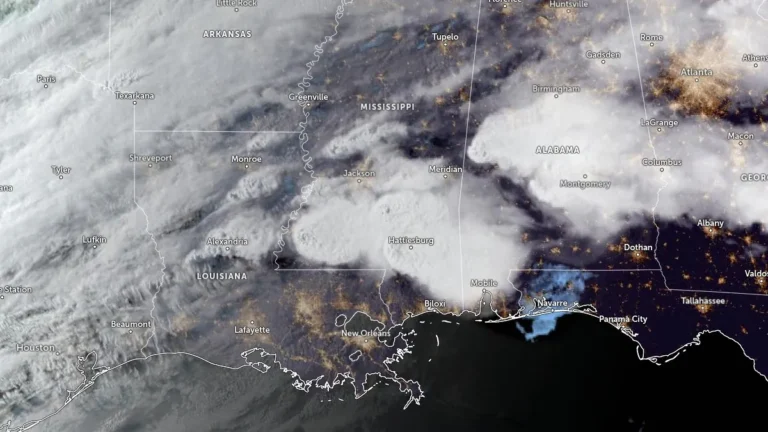
    A large, destructive tornado moved through the Brookhaven area of southern Mississippi during the evening of May 6, 2026, after the National Weather Service in Jackson issued a Tornado Emergency for communities including Brookhaven and Bogue Chitto. The event developed within an SPC Enhanced Risk severe weather setup and produced repeated radar-confirmed Tornado Debris Signatures as the storm moved from Franklin County into Lincoln County and toward Lawrence County.

  • Multiple tornadoes reported in southeastern Türkiye during deadly severe weather outbreak

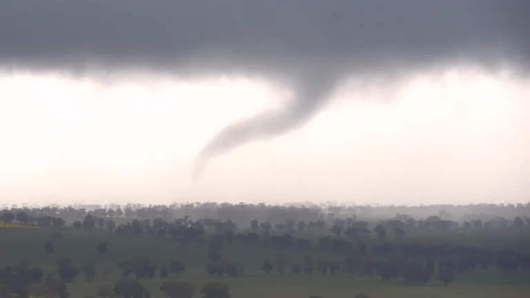
    The European Severe Weather Database (ESWD) listed multiple tornado reports across southeastern Türkiye on May 3, 2026, during a severe storm episode that caused casualties, injuries, widespread damage, power disruption, and localized flooding. The Şanlıurfa Governorate confirmed 1 death and 40 injuries in Birecik and Viranşehir during the outbreak, while a later report quoted Governor Hasan Şıldak as saying the death toll had risen to 2.

  • Enhanced Risk of severe thunderstorms from Louisiana through Mississippi into Alabama on May 6

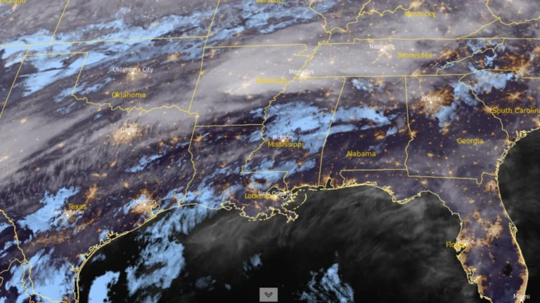
    An Enhanced Risk (Level 3/5) of severe thunderstorms has been issued for parts of the Lower Mississippi Valley on May 6, 2026, as forecasters warned that storms capable of producing damaging winds, large hail, and tornadoes are expected to develop from the Southern Plains into the Southeast. Heavy rainfall rates of 25 to 50 mm (1 to 2 inches) per hour may also accompany stronger storms across the region.

  • Heavy, wet May snow disrupts Colorado’s Front Range

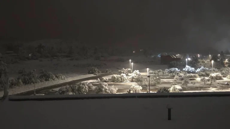
    A heavy, wet late-season snowstorm affected Colorado’s Front Range, foothills, mountains, and I-25 urban corridor from Tuesday, May 5, into Wednesday, May 6, 2026, closing schools, prompting travel advisories and shelter activation, delaying flights at Denver International Airport, and causing scattered power outages. NWS Denver/Boulder forecast 13-20 cm (5-8 inches) along the I-25 corridor, with local totals up to 30 cm (12 inches) near the foothills and Palmer Divide. Heavier mountain snow was also forecast along and north of I-70, where CDOT warned of hazardous travel conditions.

  • Heavy rainfall leaves 6 dead, thousands displaced in Pernambuco, Brazil

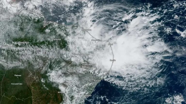
    Heavy rainfall left 6 people dead and nearly 3 000 people displaced or homeless in Pernambuco, northeastern Brazil, after floods, landslides, and river overflows affected Recife, the surrounding metropolitan area, and the Zona da Mata Norte on May 1 and 2, 2026. CEMADEN kept parts of Pernambuco under moderate hydrological and geological risk on May 3 due to saturated soil, previous rainfall accumulations, and elevated river levels.

  • Storm-force winds and high seas forecast over western Atlantic as offshore low rapidly intensifies

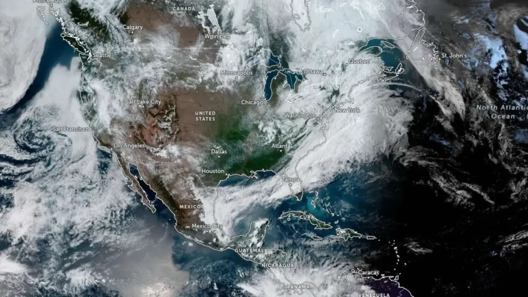
    Storm-force winds and high seas are forecast over parts of the western Atlantic on Sunday, May 3, 2026, as a rapidly deepening low-pressure system moves northeast off the U.S. East Coast. The NWS Ocean Prediction Center issued storm warnings for offshore waters, with forecast winds reaching 110 km/h (70 mph) and seas building up to 7 m (23 feet).

  • NWS rates Mineral Wells tornado EF3 after severe storms in Texas

    The National Weather Service preliminarily rated the Mineral Wells tornado in Texas as EF3, with estimated peak winds of 233 km/h (145 mph), after surveying damage from the April 28, 2026, severe weather event. NWS listed 5 injuries and 0 fatalities, while Mineral Wells officials kept a curfew in place for the affected area as cleanup and damage assessment continued.