• Tropical Depression Nine forms over Gulf of America, forecast to become hurricane before approaching U.S. Gulf Coast

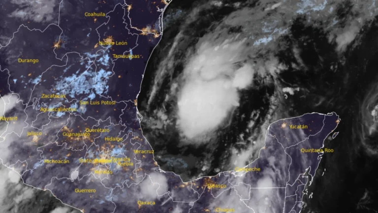
    Tropical Depression Nine formed over the southwestern Gulf of America on October 6, 2026, and is forecast to strengthen into a tropical storm early Wednesday and a hurricane on Thursday. The system is expected to approach the U.S. northern Gulf Coast on Friday, with an increasing risk of dangerous wind, storm surge and heavy rainfall impacts.
  • Evacuation orders remain near Santa Clarita after Bouquet Fire burns 424 ha (1 048 acres) in Los Angeles County, California

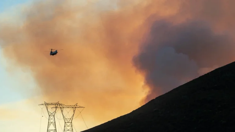
    Evacuation orders remained in effect northeast of Santa Clarita early on October 5, 2026, after the Bouquet Fire burned 424 ha (1 048 acres) in the Angeles National Forest and reached 48% containment late on October 4. The fire expanded from 8 ha (20 acres) to approximately 405 ha (1 000 acres) in less than 3.5 hours on October 3, prompting road and recreation-area closures.

  • Hurricane Nolo forecast to cross International Date Line into western North Pacific, transitioning into a typhoon

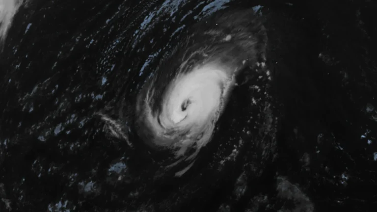
    Hurricane Nolo was forecast to cross 180° longitude on October 4, 2026, and enter the western North Pacific at typhoon strength. At 23:00 HST on October 3 (09:00 UTC on October 4), the National Hurricane Center (NHC) placed Nolo 390 km (240 miles) southwest of Lisianski Island with maximum sustained winds of 175 km/h (110 mph).

  • September 28 CME expected to deliver glancing blow to Earth on October 2, geomagnetic storm forecast

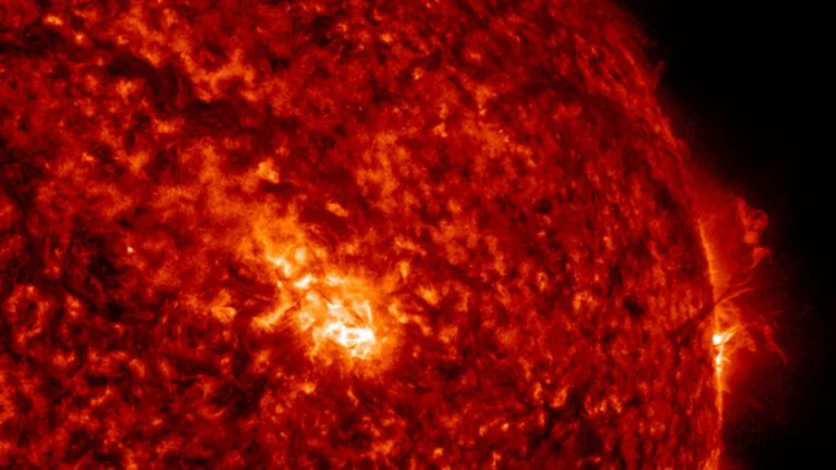
    NOAA’s Space Weather Prediction Center (SWPC) issued a G1 – Minor geomagnetic storm watch for October 2, 2026, following a large filament eruption and associated coronal mass ejection (CME) on September 28. SWPC expects glancing effects from the CME, while NASA models place its arrival near the start of October 2 with an uncertainty of several hours.

  • Hurricane Polo and remnants of Odalys bring heavy rain and flash flood risk across the Four Corners region, U.S.

    Heavy rain is forecast across the Four Corners region through 05:00 PT (12:00 UTC) on September 30, with 50–100 mm (2–4 inches) expected across much of eastern Arizona, western New Mexico, and the San Juan Mountains of southwestern Colorado. Moderate Risk excessive-rainfall outlooks, level 3 of 4, cover much of Arizona and New Mexico and parts of southern Utah and southern Colorado, corresponding to a ≥40% probability of flash flooding.

  • Hurricane Polo makes landfall south of Las Barrancas, Baja California Sur, Mexico

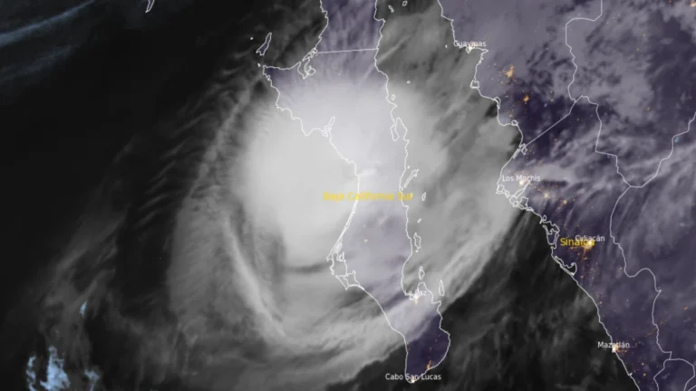
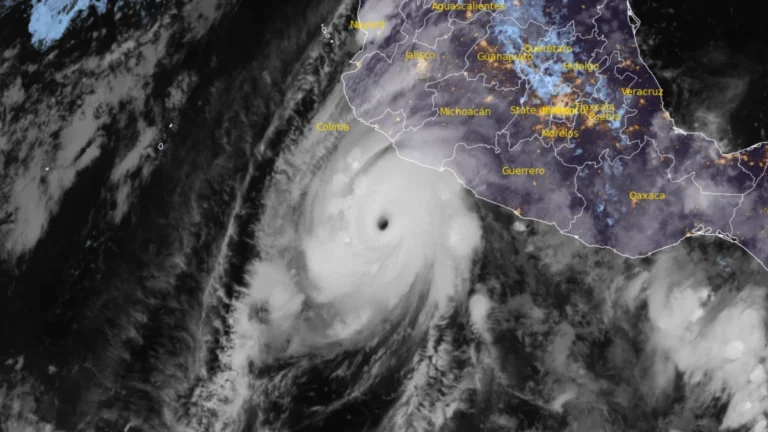
    Hurricane Polo made landfall on the west coast of Baja California Sur just south of Las Barrancas at approximately 23:00 MST on September 28 (06:00 UTC on September 29), with maximum sustained winds of 175 km/h (110 mph), according to the US National Hurricane Center (NHC). Life-threatening winds and flash flooding were ongoing, and Polo was forecast to cross the peninsula before making a second landfall in southern Sonora as a hurricane on Tuesday morning.

  • One dead, tens of thousands without power as nor’easter impacts U.S. Northeast

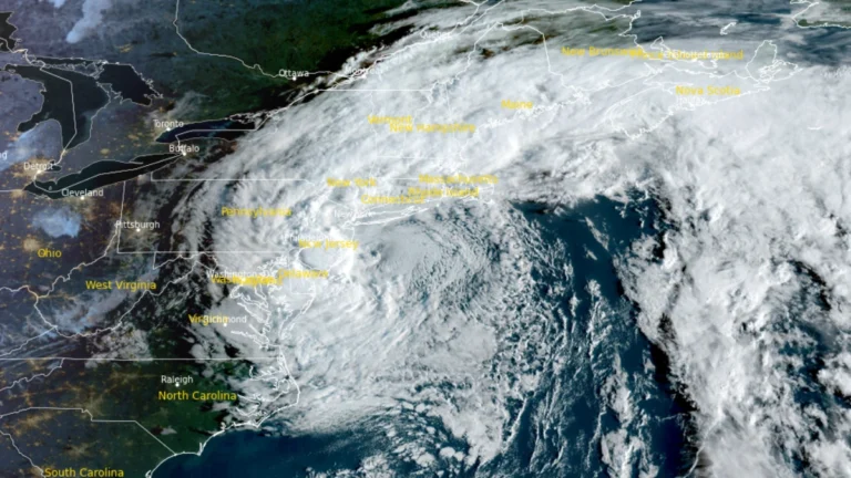
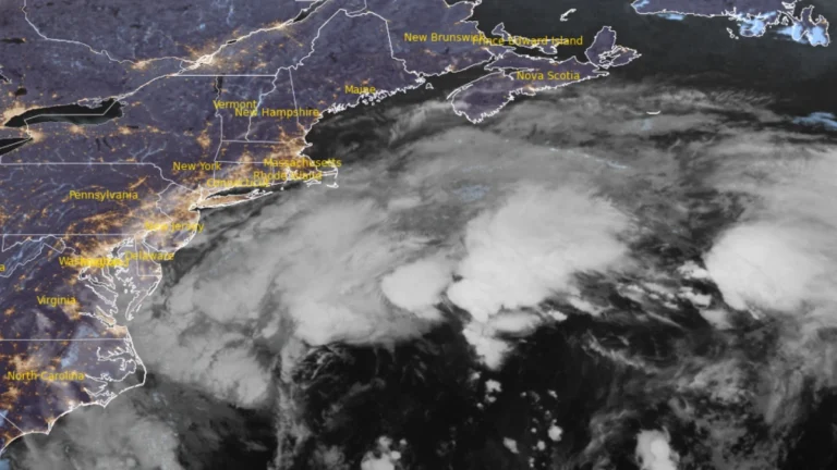
    A long-duration nor’easter continued producing coastal flooding, heavy rain and strong winds from Virginia to New England on September 27, 2026, leaving tens of thousands of utility customers without power. Coastal Flood Warnings remained in effect along parts of the U.S. East Coast, while a 56-year-old man was killed and four people were injured in separate falling-tree incidents in Brooklyn, New York, on September 26.

  • Baja California Sur prepares for Hurricane Polo ahead of Monday landfall, Mexico

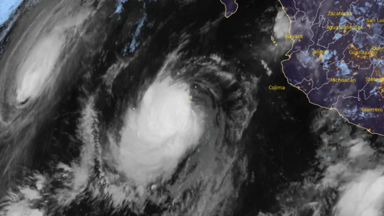
    Hurricane warnings covered portions of both coasts of Baja California Sur on September 27, 2026, as Major Hurricane Polo moved north-northwest toward the peninsula, according to the National Hurricane Center (NHC). At 02:00 MST (09:00 UTC), the Category 3 hurricane had maximum sustained winds of 195 km/h (120 mph) and was forecast to approach the western coast on Monday, cross the peninsula Monday night and approach northwestern mainland Mexico early Tuesday.

  • Long-duration nor’easter brings coastal flooding to Virginia, threatens Northeast US with damaging winds and heavy rain

    A long-duration nor’easter is forecast to bring coastal gusts of 70–95 km/h (45–60 mph) and periods of heavy rain to southern New England from September 25, 2026 through the weekend. High Wind Warnings are in effect for coastal and southeastern Massachusetts and most of Rhode Island. Coastal Flood Warnings remain in effect across southeastern Virginia, where the National Weather Service (NWS) forecasts 0.6–0.9 m (2–3 feet) of inundation.

  • Hurricane Polo brings heavy rain to Mexico, NHC forecasts Baja California approach

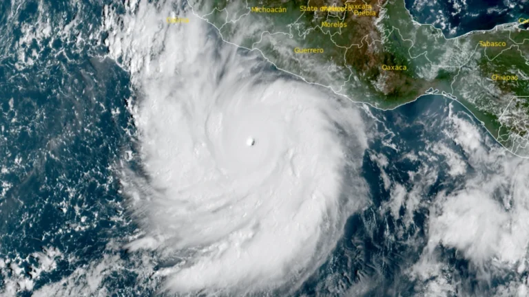
    Hurricane Polo’s outer rainbands brought heavy rain to southwestern Mexico on September 24, 2026, with a Tropical Storm Warning in effect from Tecpan de Galeana to Manzanillo. Mexico had extended the warning westward overnight as the Category 5 hurricane remained offshore, bringing a risk of flooding, mudslides and dangerous coastal conditions.Polo is forecast to approach the Baja California Peninsula as a hurricane early in the week beginning September 28.