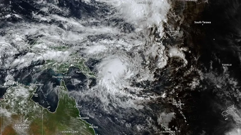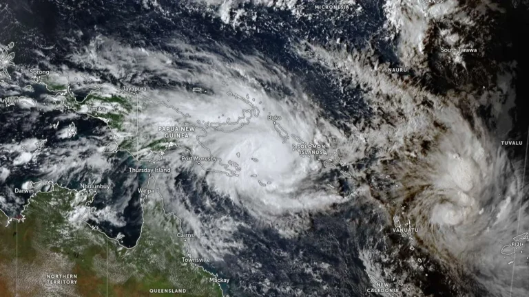
Tropical Storm Sinlaku strengthens, rapid intensification forecast as it tracks toward Guam
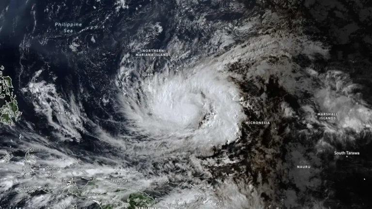
Tropical Storm Sinlaku formed on April 9, 2026, in the western Pacific and strengthened to 102 km/h (63 mph) by 15:00 UTC on April 10, approximately 904 km (562 miles) southeast of Andersen Air Force Base, Guam. The system is becoming more organized and is forecast to undergo rapid intensification while tracking toward the Mariana Islands, with a potentially dangerous passage near or over Guam.