
Severe multi-state heatwave drives extreme bushfire risk across southern Australia
Australia is enduring one of its most intense heatwaves since the 2019–20 Black Summer, with extreme temperatures, strong winds and dry lightning fuelling catastrophic fire danger across multiple states. Emergency-level bushfires have been reported in South Australia and Victoria, while BOM forecasts indicate the threat will intensify through Friday, before cooler air reaches southern regions at the weekend.
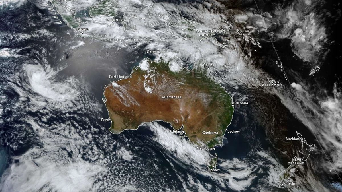
Satellite image of Australia acquired at 07:20 UTC on January 6, 2026. Credit: JMA/Himawari-9, Zoom Earth, The Watchers
A vast mass of hot, dry air continues to move eastwards from Western Australia into South Australia, Victoria, New South Wales and the Australian Capital Territory, generating widespread extreme heat and dangerous fire weather.
The Bureau of Meteorology (BOM) said the event may represent the most severe multi-day heatwave in southeastern Australia since the 2019–20 season.
Maximum temperatures are reaching 45°C (113°F) across inland regions, with Adelaide and Melbourne forecast to peak at 42°C (107.6°F) — Melbourne’s hottest day since January 2020.
In Tasmania, Launceston is forecast to reach 32°C (89.6°F), with high fire danger extending across northern and eastern districts. Total fire bans are in effect for multiple regions, including the Melbourne metropolitan area.
BOM forecaster Dean Narramore said the most critical period will occur between Wednesday, January 7 and Friday, January 9, as much of southeastern Australia experiences consecutive days of extreme heat.
“We’re likely to see extreme heatwave conditions over a huge part of New South Wales and northern Victoria, practically everywhere between Melbourne and Sydney and extending well inland,” he said. “It is looking like the most significant burst of heat for southeastern Australia, particularly in terms of multiple days in a row of mid-40 temperatures, since the summer of 2019–20.”
According to BOM meteorologist Sarah Scully, extreme fire danger is already established across large parts of southern South Australia and western and central Victoria.
A Fire Weather Warning is active across the orange-coded areas of the national map, indicating total fire bans and very high ignition potential. Maximum temperatures are combining with strong north-northwesterly winds and extremely low humidity to produce erratic fire behavior.
Emergency-level bushfires have been reported in parts of South Australia and Victoria, prompting evacuation orders and advice for residents to leave early.
Severe thunderstorms are forecast to develop across parts of Victoria and South Australia on Thursday, January 8, bringing damaging wind gusts and the potential for large hail, with minimal rainfall, and dry lightning.
“Now, significantly, there is very little, if any, rainfall expected with these thunderstorms as the thunderstorms are forming from a very high base, with the rainfall mostly evaporating before it reaches the ground as it moves through that really hot and dry air mass,” Scully said.
“So this leads to a risk of dry lightning that could potentially ignite new fires But as well, you’ve got the damaging wind gusts that will hit the ground and spread out, creating potentially erratic fire behavior.”
Friday, January 9, is expected to mark the peak of the heat and fire danger. Extreme fire danger conditions are forecast across nearly all of Victoria, excluding the far eastern Gippsland region, and large parts of southeastern South Australia.
Winds are expected to strengthen and become gusty north-northwesterly ahead of a trough, followed by a sharp southerly change bringing cooler air. Damaging wind gusts and further dry lightning remain possible with this change.
By Saturday, January 10, cooler conditions are forecast to spread through South Australia, Victoria and Tasmania. However, the heat will shift into eastern New South Wales, with Sydney expected to reach 40°C (104°F) and western suburbs even hotter. Fire danger levels will remain elevated across the Sydney Basin and adjacent inland districts.
In the north of the country, monsoonal flow continues with showers and thunderstorms across tropical Australia.
A developing tropical low, designated 12U, is located over the Coral Sea and is expected to bring increased rainfall to coastal Queensland. BOM forecasts indicate that monsoonal rain and heavy falls will redevelop along the northeast tropical coast between Townsville and Cooktown, while scattered showers and storms extend across far northern Queensland.
Major flooding continues in parts of the northwest of the state, though these areas are expected to avoid the heaviest new rainfall. For Brisbane, a possible shower and a top of 29°C (84°F) are forecast.
BOM has active Severe to Extreme Heatwave Warnings in effect for all states and territories except Queensland. Authorities warn that consecutive days of extreme temperatures pose serious risks to health, infrastructure, and power supply, and may create conditions unsuitable for nighttime recovery.
Residents are urged to follow official warnings, monitor local emergency service updates, and avoid outdoor activity during peak afternoon heat.
I'm a dedicated researcher, journalist, and editor at The Watchers. With over 20 years of experience in the media industry, I specialize in hard science news, focusing on extreme weather, seismic and volcanic activity, space weather, and astronomy, including near-Earth objects and planetary defense strategies. You can reach me at teo /at/ watchers.news.
Commenting rules and guidelines
We value the thoughts and opinions of our readers and welcome healthy discussions on our website. In order to maintain a respectful and positive community, we ask that all commenters follow these rules.