
Three atmospheric rivers forecast to make landfall over the Pacific Northwest through December 10
Three atmospheric rivers (ARs) are forecast to make landfall over the Pacific Northwest (PNW) through December 10, 2025, producing prolonged precipitation and high moisture transport across western Washington and Oregon.
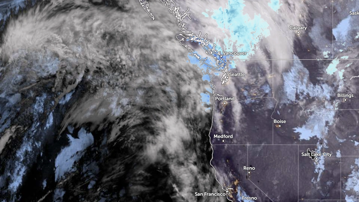
Satellite image of the Pacific Northwest at 08:00 UTC on December 4, 2025. Credit: NOAA/GOES-19, Zoom Earth, The Watchers
The first AR was forecast to make landfall late December 3 (LT), followed by a secondary moisture pulse on December 5, bringing AR conditions for roughly 72 hours.
The Weather Prediction Center (WPC) forecasts 50–100 mm (2–4 inches) of rainfall over the Washington and Oregon Cascades, and 2.5 to 6.5 cm (1 to 2.5 inches) across the coastal ranges and the Olympic Peninsula for the 72-hour period ending 16:00 PT on December 6.
A second, shorter-lived AR is expected early December 7, lasting less than 24 hours. Forecast totals are lower, at 13–25 mm (0.5–1 inch) over the Olympic Peninsula and western Oregon for the 24-hour period ending 16:00 PT December 7.
The third AR, forecast to arrive on December 8–10, is forecast to be the strongest of the sequence, with integrated vapor transport (IVT) ≥ 1 000 kg m-1 s-1 in its core. Both GFS and ECMWF models indicate precipitation totals exceeding 125 mm (5 inches) across the Olympic Mountains, Washington Cascades, and northern Oregon Coast Ranges during the 72-hour period ending 04:00 PT December 11.
Ensemble guidance from GEFS and ECMWF EPS shows >90 % probability of AR conditions (IVT ≥ 250 kg m-1 s-1) along the coast with the first system and >80 % with the second.
Confidence rises again above 80–90 % for the third event, indicating sustained moisture transport and extended wet conditions across the region. The EPS ensemble signals longer persistence of AR conditions than the GEFS, particularly into December 9–10.
Freezing levels are forecast to rise above 1 800 m (6 000 feet) during the first AR and see a drop to 1 200 m (4 000 feet) during subsequent pulses, suggesting variable snow-rain boundaries over the Cascades.
Despite these fluctuations, moderate to heavy snowfall totals of up to 45 cm (18 inches) and locally 90 cm (36 inches)is expected in higher terrain of the Washington Cascades and Bitterroot Range through December 6.
The Northwest River Forecast Center (NWRFC) forecasts multiple stream rises in western Washington, with nine gauges expected to exceed minor flood stage and two near or above moderate flood stage.
The Climate Prediction Center’s Days 3–7 Hazards Outlook shows moderate risk of heavy precipitation, snow, high winds, and flooding between December 8 and 10.
According to the ECMWF Extreme Forecast Index, the water-vapor flux anomaly over the region between December 8–11 is unusually high, confirming the potential for a major AR episode early next week.
Persistent moisture transport from the central Pacific guided by a ridge off California will maintain enhanced precipitation efficiency over the Pacific Northwest throughout the forecast period.
References:
1 AR Outlook – CW3E – December 3, 2025

I am an Assistant Editor and Severe Weather & Science Journalist at The Watchers, specializing in real-time severe weather coverage, geophysical event reporting, and research-driven scientific analysis. You can reach me at rishav(at)watchers(.)news.
I wonder if this has anything to do with Fukishima?