
T8 warning issued in Hong Kong as Tropical Storm Tapah moves toward Guangdong
Tropical Storm Tapah prompted the T8 warning in Hong Kong at 21:20 LT (13:20 UTC) on September 7, 2025, with gale-force winds of 63 km/h (39 mph) or above forecast to persist into September 8. The severe weather is expected to continue with the storm being forecast to make landfall in western Guangdong on September 8.

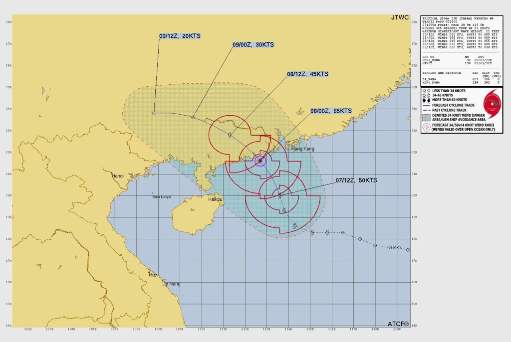
Satellite image of Tropical Storm Tapah as of 23:50 UTC on September 6, 2025. Credit: JMA/Himawari-9, RAMMB/CIRA, The Watchers
The Hong Kong Observatory issued Gale or Storm Signal No. 8 at 21:20 LT (13:20 UTC) on September 7, as Severe Tropical Storm Tapah passed south-southwest of the territory. Mean wind speeds of at least 63 km/h (39 mph) were recorded.
At 00:00 LT (16:00 UTC on September 7) on September 8, Tapah was centred about 250 km (155 miles) south-southwest of Hong Kong and was moving northwest to north-northwest at 18 km/h (11 mph). Forecasts indicate the storm will skirt to within 200 km (124 miles) southwest of the city around sunrise on September 8 before making landfall in western Guangdong.
Unless Tapah shifts closer or intensifies, the probability of issuing a higher warning signal is assessed as relatively low. The T8 signal is expected to remain in force until at least 11:00 LT (03:00 UTC) on September 8.
The T8 signal signifies potential average wind speeds of 63 km/h (39 mph) or above.
Maximum sustained winds recorded in the past hour reached 60 km/h (37 mph) at Ngong Ping, 53 km/h (33 mph) at Cheung Chau Beach and 51 km/h (32 mph) at Tap Mun. Gusts exceeded 89 km/h (55 mph), 65 km/h (40 mph) and 60 km/h (37 mph), respectively.
Weather conditions are expected to deteriorate, with squally heavy showers, thunderstorms, very rough seas and swells. Under the combined effect of storm surge and spring tides, coastal water levels, particularly in western Hong Kong, will rise above normal, posing flooding risks to low-lying areas.
The Hong Kong Observatory advised residents to secure doors and windows, reinforce shutters where possible, clear blocked drains, avoid standing near exposed windows, switch off neon signage and remain updated via radio, television or the HKO mobile application.
The Education Bureau ordered the closure of all day schools, including primary, secondary, special schools and kindergartens, on September 8. Arrangements for workplaces and night schools remain under review.
Transport services were affected. Greater Bay Airlines adjusted 9 flights between Hong Kong and destinations including Xuzhou, Taipei, Zhoushan, Bangkok and Quanzhou.
The Airport Authority implemented contingency measures and passenger-assistance services to address delays and cancellations. Rail services continued to operate normally; MTR Bus service will be suspended three hours after the issuance of the T8 signal. Several ferry services were suspended on the evening of September 7.
References:
1Press weather no. 324 – Tropical cyclone warning bulletin (Signal no. 8) – Gov HK – September 7, 2025

I am an Assistant Editor and Severe Weather & Science Journalist at The Watchers, specializing in real-time severe weather coverage, geophysical event reporting, and research-driven scientific analysis. You can reach me at rishav(at)watchers(.)news.
Commenting rules and guidelines
We value the thoughts and opinions of our readers and welcome healthy discussions on our website. In order to maintain a respectful and positive community, we ask that all commenters follow these rules.