
Volcanic alert level raised for Bur ni Telong, Indonesia
Indonesia’s Bur ni Telong volcano was placed on Alert Level II (Waspada) at 06:00 local time (LT) on August 2, 2025, following a rise in deep and shallow volcanic earthquakes between July 30–August 5, 2025. The last eruption at this volcano took place in 1937.

Historically active Bur ni Telong volcano, seen here from the SE, was constructed on the southern flank of Bur ni Geureudong volcano, part of which is visible in the background. The two summits of the complex are 4.5 km (2.8 miles) apart and are similar in elevation. The summit crater has migrated to the ESE, leaving arcuate crater rims. Credit: Cahya Patria, 2004 (Centre of Volcanology & Geological Hazard Mitigation, Volcanological Survey of Indonesia).
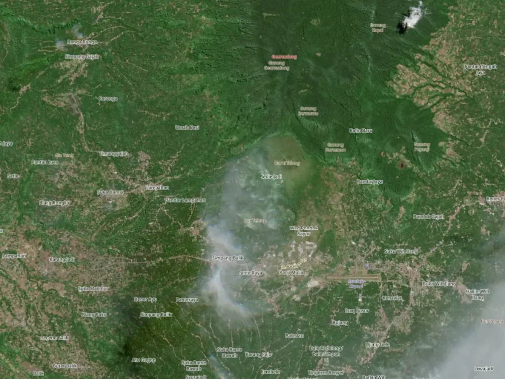
The Pusat Vulkanologi dan Mitigasi Bencana Geologi (PVMBG) raised the alert status of Bur ni Telong volcano, located in Bener Meriah Regency, Aceh Province, from Level I (Normal) to Level II (Waspada) at 06:00 LT on August 2.
This decision followed a marked increase in both deep and shallow volcanic seismicity throughout July and early August.
Between July 1–August 2, PVMBG recorded a total of 121 deep volcanic earthquakes, 11 shallow volcanic earthquakes, 24 local tectonic earthquakes, and 60 distant tectonic earthquakes.
Seismic observations highlighted a spike in deep volcanic earthquakes during July 22–24, followed by a rise in shallow volcanic events recorded on August 1 and 2. These patterns are often associated with increased movement of magma or hydrothermal fluids at depth.
No emissions were observed from the summit crater at the time the alert level was raised. Visual monitoring showed no signs of surface activity such as ash plumes or fumaroles. The summit area remained clear until obscured by cloud cover in early August.
In accordance with hazard mitigation protocols, PVMBG advised residents and visitors not to approach within a 1.5 km (0.9 miles) radius of the crater area.
They also warned against entering fumarole and solfatara zones, particularly during cloudy or rainy conditions, due to the danger of undetectable and potentially lethal volcanic gases.
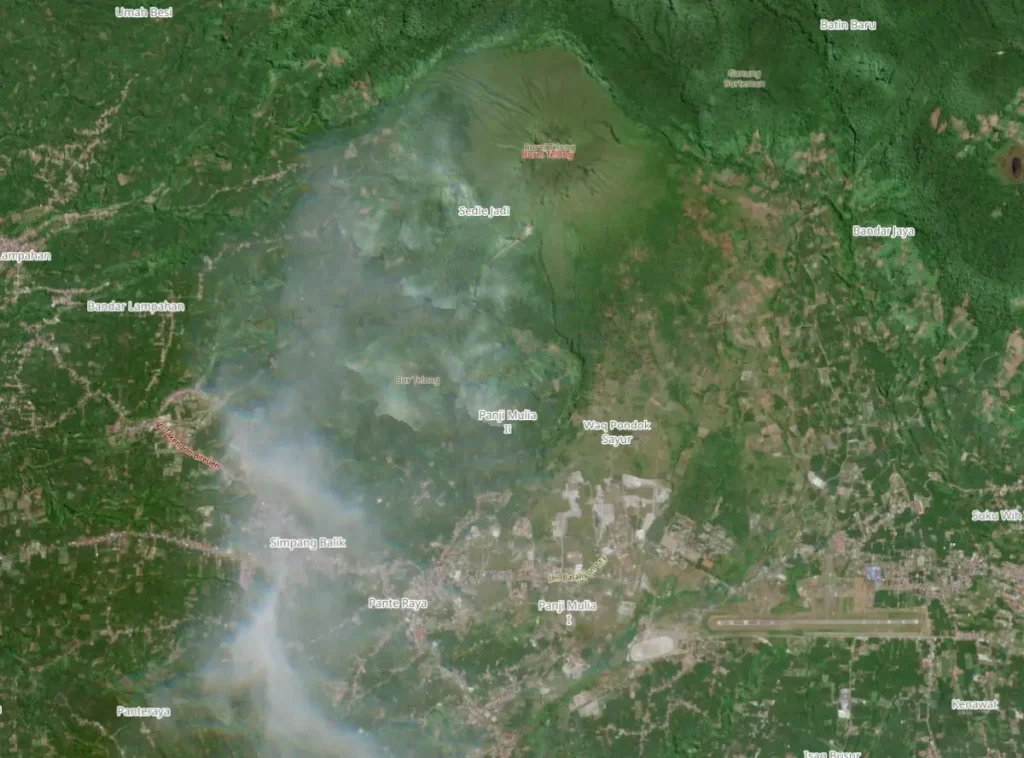
All climbing routes to the summit were closed on August 2 as part of a precautionary response to the increased seismicity. Regional media reported that up to 800 climbers who had registered for early August ascents were denied access to the mountain.
Bur ni Telong is a stratovolcano located in the northern part of Sumatra. It rises to an elevation of approximately 2 617 m (8 586 feet) and forms part of the Sunda Arc. Its summit crater has migrated east-southeast over time, leaving arcuate scarps on the older cone.
While not among Indonesia’s most active volcanoes, Bur ni Telong has a documented eruptive history dating back to 1837 (VEI 2). Its most recent confirmed eruption took place in 1937, with previous events recorded in 1839, 1856, 1919, and a possible eruption in 1924. All confirmed events were characterized by explosive to effusive activity, with VEI 2 intensity.
The current activity has not included eruptive behavior but has been characterized solely by internal seismic changes. PVMBG continues to monitor the volcano closely and will issue further updates should activity intensify.
References:
1 Global Volcanism Program, 2025. Report on Bur ni Telong (Indonesia) (USGS Volcano Disaster Assistance Program Staff and Sennert, S, eds.). Weekly Volcanic Activity Report, 30 July-5 August 2025. Smithsonian Institution and US Geological Survey.

I’m a science journalist and researcher at The Watchers, contributing to the Epicenter edition, where I cover peer-reviewed scientific research and emerging discoveries across Earth and space sciences. With a background in astronomy and a passion for environmental science, I’ve worked in shark and coral conservation in Fiji, conducting reef and shark-behavior research, contributing to mangrove restoration, and earning PADI Open Water and Coral Reef Certifications. I bring a blend of scientific rigor and storytelling to illuminate the discoveries shaping our planet and beyond.
Commenting rules and guidelines
We value the thoughts and opinions of our readers and welcome healthy discussions on our website. In order to maintain a respectful and positive community, we ask that all commenters follow these rules.