
Powerful cold front sweeping through the Northwestern U.S. with rain, heavy mountain snow and strong winds
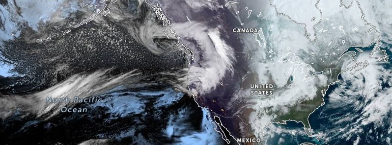
Image credit: NOAA/NWS
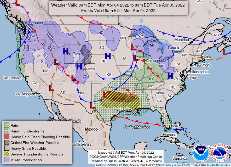
A powerful cold front will sweep through the Northwestern U.S. on Monday, April 4, 2022, with rain, heavy mountain snow, and high winds expected. The threat of severe weather will exist from the southern Plains into the Southeast Monday through Wednesday, April 7. Large hail, damaging wind gusts, tornadoes, and flash flooding will all be a threat throughout the period.
A potent low pressure system will bring increasingly active weather swiftly through the western U.S. and then across the Plains during the next couple of days, NWS forecaster Kong noted on April 4.1
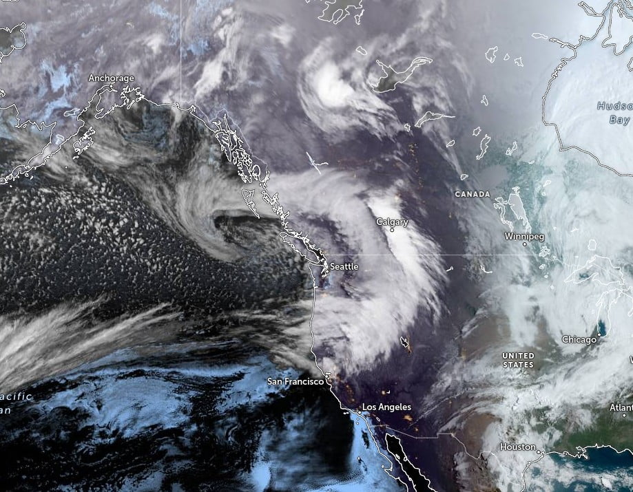
Abundant moisture ahead of this system is already streaming onshore into the Pacific Northwest and will continue to penetrate further inland.
Moderate to heavy rain and scattered thunderstorms near the coast will be accompanied by strong and gusty winds today.
Meanwhile, heavy snow will break out along the Cascades before expanding into the northern Rockies later today together with high winds.
Heavy snow will be measured in feet over the northern Cascades before the snow tapers off Tuesday night.
As this system forces its way through the northern Rockies into the northern High Plains, widespread high winds are expected to impact these areas and especially the foothills later today and through Tuesday before gradually tapering off by Wednesday.
The high winds will be accompanied with periods of mixed rain and snow as the system reorganizes and expands over the northern Plains.
Farther south, showers and thunderstorms are expected to develop ahead of an intensifying cold front later on Tuesday as it sweeps across the upper Midwest.
The thunderstorms could intensify further as they reach the western portion of the Great Lakes by Wednesday morning with strong and gusty winds.
“The storm is first expected to impact the West Coast, bringing rain and mountain snow to portions of the Northwest and British Columbia in western Canada early in the week,” AccuWeather Meteorologist Joseph Bauer said.2
“An area of high pressure building off the California coast is forecast to steer this from the Northwest into the northern Plains. The stark differences in pressure between the two features will also help create a potent storm with two main hazards: snow and strong winds.
Snow developing across the northern Rockies is forecast to stream eastward across the northern Plains and Upper Midwest from early Tuesday through Wednesday night. The highest accumulations are likely across the elevated terrain of Montana and Idaho to Wyoming and northern Colorado, as well as near the United States-Canada border, AccuWeather meteorologists said.
References:
1 Short Range Forecast Discussion – NWS Weather Prediction Center College Park MD – 400 AM EDT Mon Apr 04 2022
2 Snow, wind to sweep across northern tier of the U.S. – AccuWeather
I'm a dedicated researcher, journalist, and editor at The Watchers. With over 20 years of experience in the media industry, I specialize in hard science news, focusing on extreme weather, seismic and volcanic activity, space weather, and astronomy, including near-Earth objects and planetary defense strategies. You can reach me at teo /at/ watchers.news.
Commenting rules and guidelines
We value the thoughts and opinions of our readers and welcome healthy discussions on our website. In order to maintain a respectful and positive community, we ask that all commenters follow these rules.