
Strong M6.8 earthquake hits near the coast of Vanuatu, hazardous tsunami waves possible
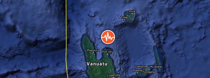
Image credit: TW/SAM, Google
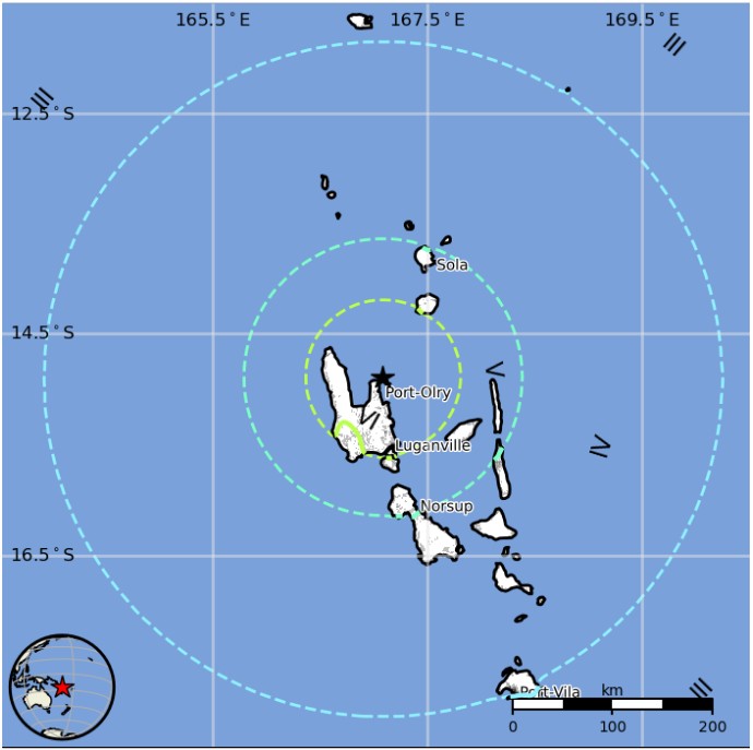
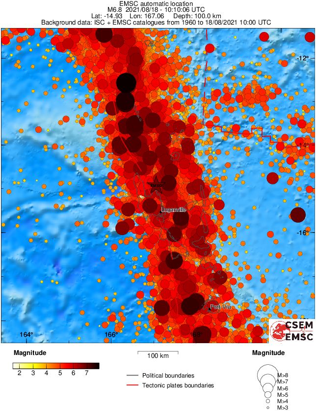
A strong earthquake registered by the USGS as M6.8 hit near the coast of Vanuatu at 10:10 UTC on August 18, 2021. The agency is reporting a depth of 91 km (56 miles. EMSC is reporting M6.8 at a depth of 100 km (62 miles).
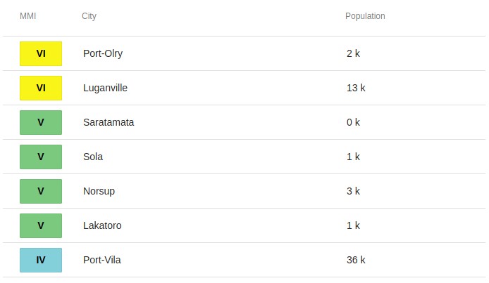
The epicenter was located 16.7 km (10.4 miles) N of Port-Olry (population 1 951) and 70.4 km (43.7 miles) N of Luganville (population 13 397), Vanuatu.
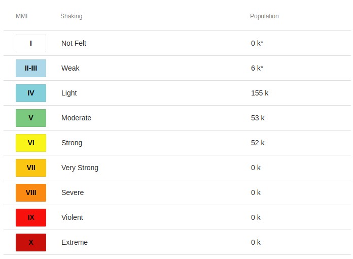
There are about 60 000 people living within 100 km (62 miles).
52 000 people are estimated to have felt strong shaking, 53 000 moderate, and 155 000 light.
The USGS issued a Green alert for shaking-related fatalities and economic losses. There is a low likelihood of casualties and damage.
Overall, the population in this region resides in structures that are highly vulnerable to earthquake shaking, though some resistant structures exist. The predominant vulnerable building types are unknown/miscellaneous types and wood construction.
Based on preliminary earthquake parameters, hazardous tsunami waves are possible for the coasts located within 300 km (185 miles) of the earthquake epicenter, PTWC said.
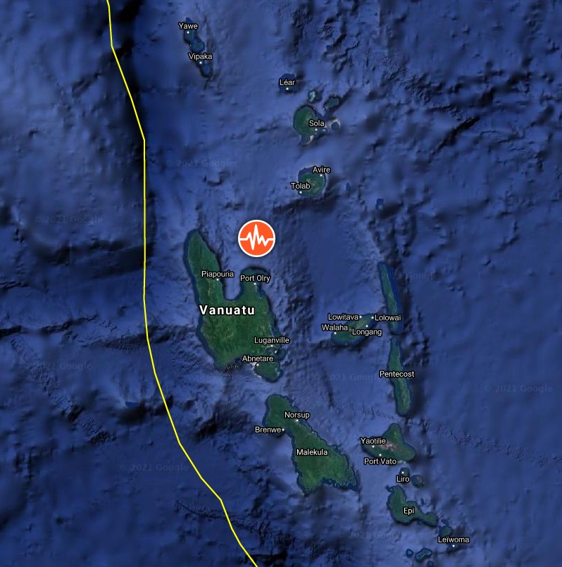
Image credit: TW/SAM, Google
Estimated population exposure to earthquake shaking
Selected cities exposed
Regional seismicity
I'm a dedicated researcher, journalist, and editor at The Watchers. With over 20 years of experience in the media industry, I specialize in hard science news, focusing on extreme weather, seismic and volcanic activity, space weather, and astronomy, including near-Earth objects and planetary defense strategies. You can reach me at teo /at/ watchers.news.
Vanuatu IS the name of the country, its a small island nation in the the south Pacific
How about mention the name of the country, or proximity. Australia? Congo? Belgium?
Putting together the intensity and depth of the earthquake, there is no chance of generating a tsunami that involves any significant risk.