
Cold blast sweeps through Northeast following winter storm in the West, U.S.
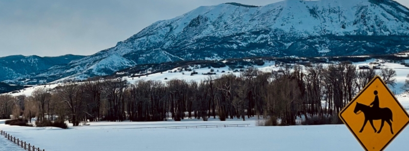
Image credit: Steamboat Springs
Parts of New York and New England are recording below zero-degree wind chills on Friday morning, March 5, 2021, as a cold blast sweeps through the Northeast. The cold wave came after a winter storm brought heavy snow to parts of the West on Thursday, March 4.
Wind gusts of more than 64 km/h (40 mph) have been blowing in parts of the Northeast on Friday morning. The cold weather is expected to remain throughout the weekend but will be warming up by the middle of the following week.
Meanwhile, a winter storm brought snow to parts of the Rockies on Thursday. About 20 cm (8 inches) of snow fell in Colorado, where roads were covered in ice. Several car accidents and spinouts were reported in Colorado Springs.
On the West Coast, a new storm is forecast to move in Friday, bringing a threat of flooding, heavy mountain snow, and gusty winds.
Keep up those snow dances going in March! #steamboatsprings #colorado #snow pic.twitter.com/6UZUD7Zho1
— Steamboat Springs (@SteamboatCO) February 28, 2021
#TBT to a fun-filled day playing in the snow during one of our recent snowfalls. Watch the video to see all the animals and be sure to keep an eye out for Colorado-born-and-raised Joona, who in lieu of wearing shorts, thought this was the perfect weather to go for a swim! pic.twitter.com/sCFrAXlw1F
— Denver Zoo (@DenverZoo) March 4, 2021
Some fresh #snow has arrived once again in the Colorado Rockies.
Before the latest wintry blast on Wednesday, it was a beautiful bluebird day for skiing at Breckenridge!#COwx pic.twitter.com/f3oml64p4p
— WeatherNation (@WeatherNation) March 4, 2021
A hectic and early look at I-25 near Monument, Colorado as ice & snow have crippled the highway to speeds less than 40 mph. Black ice will be a problem this morning as the sunrise nears. Be very careful for your drive in to work. And tune into @WeatherNation for the latest.#COwx pic.twitter.com/Zj9yxOIw6o
— Alexander Nedd (@alexnedd2) March 5, 2021
A winter weather advisory has been in place for Northern California, where up to 0.3 m (1 foot) of snow may fall. A flood watch has also been issued for western Washington, heavy rains may trigger an overflow of rivers.
High wind alerts have been in force for Oregon and California, where wind gusts may reach up to 113 km/h (70 mph).
The storm is set to reach the San Francisco Bay Area late Friday evening, bringing heavy rain to the north of the city. Up to 76 mm (3 inches) of rain may fall from Northern California to Washington, while up to 0.3 m (1 foot) of snow may fall in the Cascades.
Commenting rules and guidelines
We value the thoughts and opinions of our readers and welcome healthy discussions on our website. In order to maintain a respectful and positive community, we ask that all commenters follow these rules.