
Record winter storm finally exits Northeast, leaving widespread chaos and at least 7 people dead – U.S.
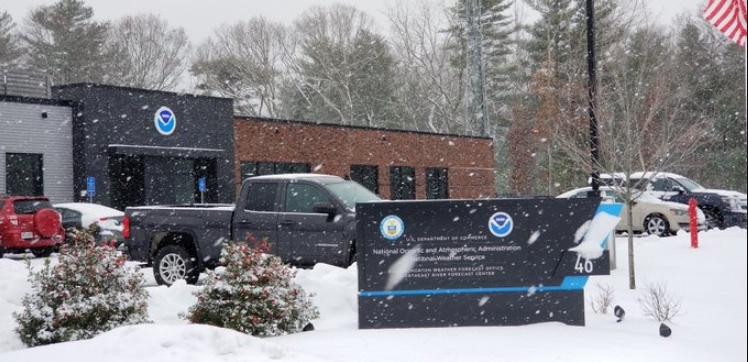
Image credit: NWS Boston
A major, cross-continental winter storm that caused widespread disruptions and broke records across the U.S. last week has finally begun exiting New England on Tuesday, December 3, 2019. However, more bad weather is expected in parts of the country mid-week, lake-effect snow in the Great Lakes, heavy snow in the northeast, and atmospheric river over Southern California to the interior Southwest.
The first major snowstorm of the season brought 90 cm (35 inches of snowfall across parts of New Hampshire. The final storm total at Albany International Airport in New York was 57 cm (23 inches), making it the eighth largest snowstorm in the city's recorded history and the fourth biggest in December.
"This is also the most snow in one storm since the March 13-14, 1993 superstorm," said the National Weather Service (NWS) in Albany.
Good morning! With our area's first significant winter storm in the books, we want to thank everyone who sent in reports. Here at our office in Norton, MA, our storm total was 7.5 inches. In the meantime, you can check out preliminary snowfall reports at https://t.co/mIcEwPWnza pic.twitter.com/Y6RQNXFCdF
— NWS Boston (@NWSBoston) December 4, 2019
The charts have been updated for Albany snowstorms with December 1-3, 2019 in the record books as 8th biggest snowstorm of ALL-TIME and the 4th biggest for December.
Local climate data/records: https://t.co/batzIOZEpf #518wx #nywx pic.twitter.com/M9s4JfJAwX— NWS Albany (@NWSAlbany) December 3, 2019
On Sunday, December 1, the airport registered 38 cm (13 inches) of snow, breaking the previous daily record set in 1969 at 10 cm (4 inches).
On Monday, December 2, another daily record was broken in the city with 17 cm (7 inches) of snow, smashing the old total of 16 cm (6 inches) set in 1949.
On Tuesday morning, December 3, around 19 000 customers were left without electricity in Pennsylvania. According to PowerOutage.us, about 10 000 outages were reported in New York, and roughly 50 000 in New Jersey.
1 000 accidents were reported across the Northeast, urging officials to declare a state of emergency and warn residents to postpone road travels unless necessary.
New York governor Andrew Cuomo declared a state of emergency for Albany, Columbia, Greene, Rensselaer, Schenectady, Saratoga and Ulster counties. 300 members of the National Guard were also deployed to assist with snow cleanup operations.
The storm delivered a final blast of snow and rain, causing chaos on the roads from Philadelphia to New York, and across New England.
At least seven have died as the blizzard-like blast hit over 30 states during a week-long journey from Oregon to Maine.
As of 11:30 UTC on Wednesday, December 4, 32 000 residential and commercial properties remain without power in New Jersey.
New Jersey districts called for school closures and delayed openings due to ongoing cleanup and power outages from a two-day winter storm.
Rt 15 in #northwestnj #sussexcountynj #njwx #wxtwitter #spartanj #nj #newjersey pic.twitter.com/YU39C6GCbp
— J&B Landscape (@jblandscapingnj) December 2, 2019
In Boston, hundreds of travelers were stranded at Logan International Airport, with over 300 flights canceled and roughly 750 delayed. Schools and roads were also closed.
Heavy downpours continued spreading through California into early morning of December 4. A flash flood watch has been placed for areas in Los Angeles and San Diego.
Heavy rain continues to spread into California this morning. A flash flood watch is in effect for the Los Angeles and San Diego areas. Radar: https://t.co/2XylBC9DUr pic.twitter.com/qpbNojcq7s
— AccuWeather (@breakingweather) December 4, 2019
NWS reported that a "strong cold air advection over the Great Lakes will generate bands of lake effect snow, with the heaviest snowfall likely downwind of Lake Erie and Lake Ontario on Wednesday and lingering some into Thursday."
Another round of lake effect snow is in store for parts of the Great Lakes over the next few days. https://t.co/5bOUJNg9CG
— National Weather Service (@NWS) December 4, 2019
Another disturbance moving into the Great Lakes region later today into Wednesday. Most areas away from the traditional snow belt regions shouldn't see too much. Lake effect snow picks up on Wednesday. Thankfully, freezing rain not in the cards! #onstorm pic.twitter.com/dFWCE0xbMl
— Chris Murphy TWN (@MurphTWN) December 3, 2019
"Additional moisture from the Pacific will fuel additional rainfall across central and southern California through midweek, and moderate to heavy snow for the central Sierra Nevada," NWS added.
Through midweek, inversion setting up across parts of Oregon and Idaho will result in air stagnation concerns.
AccuWeather also reported that "a much larger storm is set to slam Central and Northern California with a wide array of impacts from Friday into Saturday."
Snow showers are possible across the higher terrains of central Nevada, Utah, and western Colorado as the upper level low from the Pacific heads inland across the Desert Southwest. Isolated snowfall totals over 15 cm (6 inches) are also likely.
"Elsewhere across the continental U.S., dry conditions can be expected from the western High Plains to the Midwest, and also most of the East Coast region over the next couple of days as high pressure governs the overall weather pattern, said NWS.
Say it ain't (lake-effect) snow! Multiple upper level disturbances will spark bands of heavy snow across the Great Lakes Wed AM-Sat AM. #18StormTracker #lakeeffect pic.twitter.com/kg0qGZc65p
— Trackerman ⚡️ (@TomAckermanWx) December 3, 2019
The @NWSCPC 6-10 day outlook, the @CIPSAnalogs temperature anomaly, and a plunging GEFS temperature plume for Bismarck all say cold is on the way for early to mid next week for the region #ndwx #ndag pic.twitter.com/rOH2BmHanZ
— NWS Bismarck (@NWSBismarck) December 4, 2019
Another shot of very cold Arctic air will follow in mid-December. Take a look at the forecast models:
Commenting rules and guidelines
We value the thoughts and opinions of our readers and welcome healthy discussions on our website. In order to maintain a respectful and positive community, we ask that all commenters follow these rules.