
Tropical low over the Bahamas, heading toward Florida
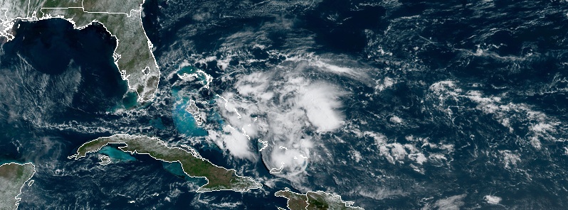
Featured image: Tropical low at 14:20 UTC on May 1, 2019. Credit: NOAA GOES-East
A trough of low pressure located over the northwestern Bahamas is producing disorganized shower and thunderstorm activity. The system is heading toward Florida, threatening the state with locally heavy rains.
While little development is expected during the next couple of days as the system moves generally northwestward toward the Florida Peninsula, some slow development is possible as the disturbance turns northeastward and moves over the western Atlantic, NWS NHC said.
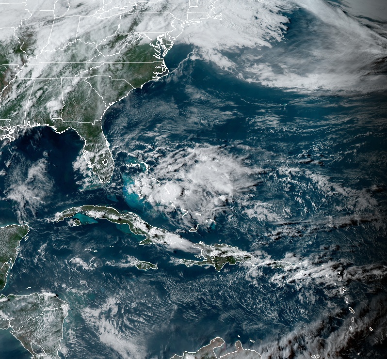
Tropical low at 21:30 UTC on May 1, 2019. Credit: NOAA GOES-East
Regardless of its development, locally heavy rains are possible over portions of the Bahamas and the Florida Peninsula during the next couple of days.
Seas are currently reaching 2.4 m (8 feet) northeast of the Bahamas.
I'm a dedicated researcher, journalist, and editor at The Watchers. With over 20 years of experience in the media industry, I specialize in hard science news, focusing on extreme weather, seismic and volcanic activity, space weather, and astronomy, including near-Earth objects and planetary defense strategies. You can reach me at teo /at/ watchers.news.
Commenting rules and guidelines
We value the thoughts and opinions of our readers and welcome healthy discussions on our website. In order to maintain a respectful and positive community, we ask that all commenters follow these rules.