
Deep cyclone packing strong winds approaching Iceland
Featured image: Deep cyclone SW of Iceland, December 15, 2016, 12:00 UTC. Image credit: Eumetsat
A deep cyclone is currently on the way to Iceland and is expected to impact the country with intense winds by late evening, December 15, 2016 (local time).
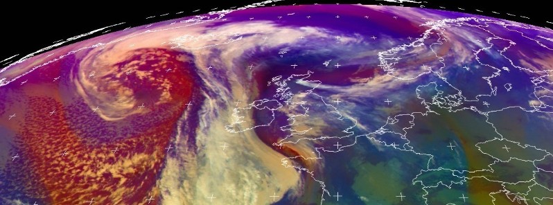
Satellite images reveal a deep cyclone with central pressure estimated at 964 hPa, currently situated over North Atlantic, southwest of Iceland.
The low pressure field is producing winds reaching 100 km/h (62.1 mph) and waves of heights between 10 and 12 m (32.8 and 39.4 feet). The system will reach Iceland by late evening.
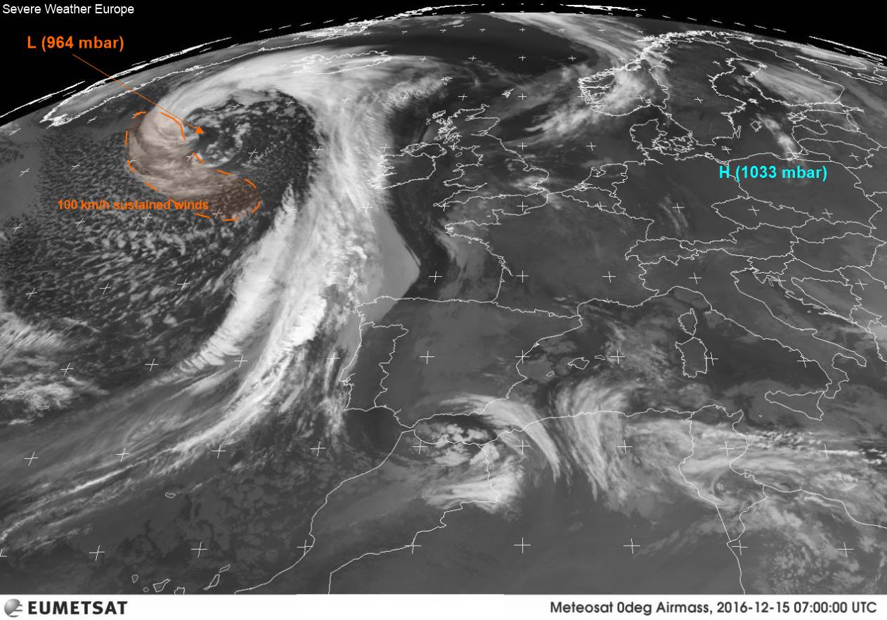
Deep cyclone approaching Iceland, December 15, 2016. Image credit: Eumetsat via Severe Weather Europe
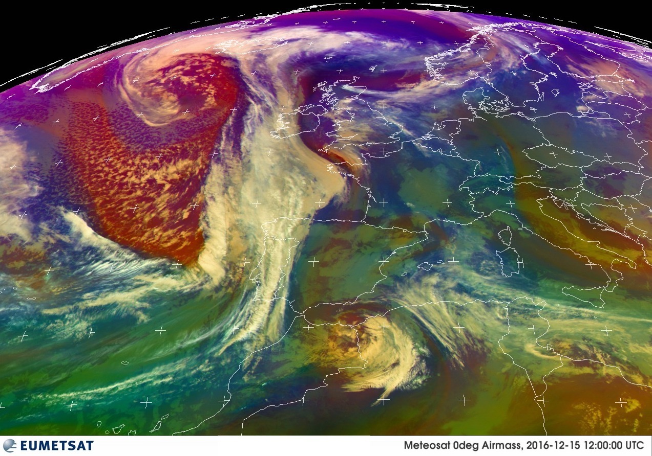
Deep cyclone SW of Iceland, December 15, 2016, 12:00 UTC. Image credit: Eumetsat
According to the Icelandic Met Office, the southern and western part of the country is currently experiencing southeasterly winds of 46.8-64.8 km/h (29-40.3 mph), widespread rainfall, mainly in the southeast part, while temperatures range between 3 and 8°C (37.4 and 46.4°F).
Winds between 36 and 64.8 km/h (22.4 and 40.3 mph) will affect the southwest Iceland on December 16 while the northwest and north Iceland will experience winds reaching 54-82.8 km/h (33.6-51.5 mph). Rainstorms or snowfall is expected across the affected areas.
Commenting rules and guidelines
We value the thoughts and opinions of our readers and welcome healthy discussions on our website. In order to maintain a respectful and positive community, we ask that all commenters follow these rules.