
Three to four-week extreme weather forecasting the new norm
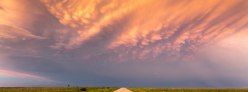
Image credit: "Oh mammatus" by Daniel Rodriguez (CC - Flickr)
As part of the climate plan announced at the UN summit, the Obama Administration said it would begin a coordinated US effort, led by the National Oceanic and Atmospheric Administration (NOAA), to develop better extreme-weather risk outlooks. This year, NOAA will issue weekly 3-4 week precipitation outlooks and will extend its extreme-heat index from the current 6-to-10-days-out to 8-to-14-days-out. Producing longer forecasts will also be explored.
According to a White House Statement, “Currently available weather and climate information from NOAA empowers decision-makers, communities, farmers, and business owners to make smart decisions as they plan and prepare for the future. This new effort will seek to increase the information available to these decision makers in the 15-30 day timeframe with new kinds of actionable information to use as they plan and prepare for the future.
To kick off the effort this year, NOAA will begin issuing weekly 3-4 week precipitation outlooks and will extend its current extreme-heat index product from the current 6-to-10-days-out to 8-to-14-days-out, giving communities several additional days to prepare for potential life threatening heat waves."
Traditionally, meteorologists are wary of giving long-term forecasts due to concerns over accuracy. But it seems NOAA is taking a more pragmatic approach, giving people longer-range forecasts so they can better prepare for extreme weather conditions.
As per the interview of the Weather Network UK, Dr. Louis Uccellini, Director of the National Weather Service, which is part of NOAA, stated that this “breaks new ground” by addressing a “critical forecast gap in the three and four week period. For certain areas like heat, drought and the increasing likelihood of heavy precipitation events and flooding, these extended outlooks will provide vital information to the advance preparation by the emergency management community and the general public."
"We will start providing experimental products by the end of 2015 as we continue to work with the research community engaged in extending predictability of extreme events," he added.
He said they recognize the “many long term challenges” associated with extending the predictability of weather and climate into the time range of week 2 and beyond into week 3 and 4 to monthly to seasonal forecasts.
“This challenge has been embraced by the global research and operational communities as a "Grand Challenge" written for publication in the Bulletin of the American Meteorological Society and discussed at the recent WMO Open Science Conference in Montreal. This initiative provides a basis for the US research and operational communities to join in this global effort to advance the predictive skill in the week 3 to week 4 time frame, especially for extreme events like heat and cold waves, droughts, floods and intense storm systems,” added Dr. Uccellini.
Our science agencies will work to develop extreme-weather risk outlooks extending beyond the two-week time horizon of weather forecasts, to provide early indication that severe weather may be on its way and help save lives around the world. NOAA will seek to expand a successful program that has already trained more than 300 meteorologists from developing countries in critical aspects of climate prediction, monitoring, and assessment.
i am intrested to know the forecasting parameters of unpresidented rains, hail storming usual rains thunder lightenings etc for protecting the public
More humourous outpourings about the arctic being ice-free by summer 2016 courtesy of the US Navy. Apparently their Regional Arctic System MODEL is the most advanced and accurate. Doesn’t give you much hope for the rest then if this one can’t see the trend of increasing summer ice starting from 2007 (ignoring the unusual low 2012 due to the storm system). And the DMI has this arctic summer as among the four coldest on record and all are within the last 6 years – odd unless cold causes ice to melt now. Still, at least we don’t have long to ask the US Navy how it’s going. Perhaps somebody could do a video call from the arctic ice. And because we aren’t cherry-picking warmists here, the DMI records only go back as far as 1958. Not a great length but given all this warming we are supposed to be having recently, the four coldest in the last 6 years is a bit inconvenient.