
Shallow and dangerous M 5.6 earthquake struck eastern Iran
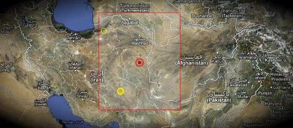
Image credit: EMSC + Google Earth
Strong earthquake, initially registered as M 6.0, but later revised to M 5.6 hit South Khorasan Province in eastern Iran at 17:08 UTC on December 5, 2012. The epicenter was located 18 km E of Khoshk, 22 km W of Zahan, The epicenter was at depth of 5.4 km according to USGS and 10 km according to EMSC. USGS and EMSC recorded same magnitude while IIEES recorded M 5.4 at depth of 14,1 km. There are still no report of damage or injuries at the moment.
 Intensity shake map (Source: USGS)
| Magnitude | 5.6 |
|---|---|
| Date-Time |
|
| Location | 33.520°N, 59.570°E |
| Depth | 5.4 km (3.4 miles) (poorly constrained) |
| Region | EASTERN IRAN |
| Distances | 42 km (26 miles) ESE of Qayen, Iran 79 km (49 miles) NNE of Birjand, Iran 123 km (76 miles) SE of Gonabad, Iran 175 km (108 miles) SW of Taybad, Iran |
| Location Uncertainty | horizontal +/- 13.4 km (8.3 miles); depth +/- 5.9 km (3.7 miles) |
| Parameters | NST=202, Nph=205, Dmin=507.6 km, Rmss=1.07 sec, Gp= 43°, M-type=teleseismic moment magnitude (Mw), Version=8 |
| Source |
|
| Event ID | usc000e4lq |
View current seismicity in this region
Last 24 Hours Last Seven Days Last 30 Days
 Epicenter map (Source: EMSC)
The epicenter was located between three active faults – 40 km from Abriz fault, 42 km from Nozad fault and 54 km from Ferdows fault.
Commenting rules and guidelines
We value the thoughts and opinions of our readers and welcome healthy discussions on our website. In order to maintain a respectful and positive community, we ask that all commenters follow these rules.