
Shallow M6.3 earthquake hits west of Macquarie Island, Australia
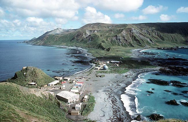
Image credit: TW
A M6.3 magnitude earthquake has been recorded near Macquarie Island just north of Antarctica at a depth of 10 km (6.2 miles).

Macquarie Island is an exposed portion of the Macquarie Ridge, and is located where the Australian plate meets the Pacific plate. It is the only place in the world where rocks from the mantle are actively exposed at sea level. Due to this, it was made a UNESCO world heritage site in 1997.
Commenting rules and guidelines
We value the thoughts and opinions of our readers and welcome healthy discussions on our website. In order to maintain a respectful and positive community, we ask that all commenters follow these rules.