Nearly one million lose power as severe storms sweep Midwest, Northeast and Ontario
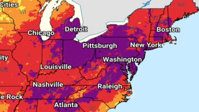
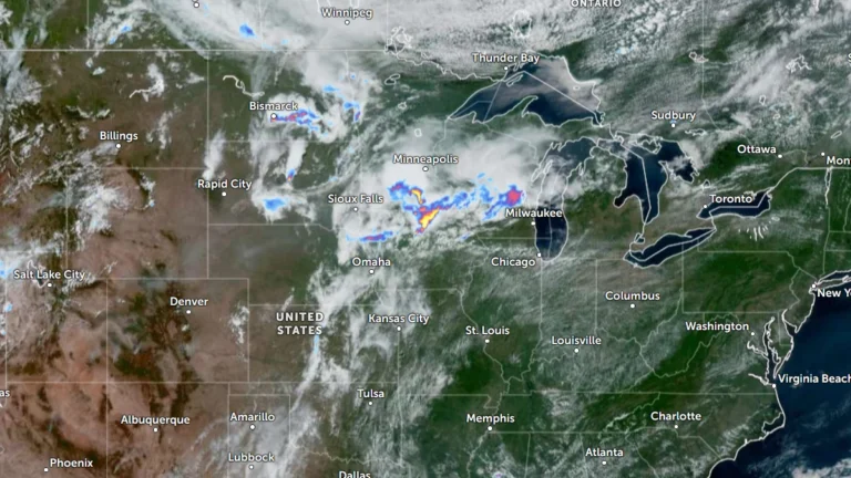
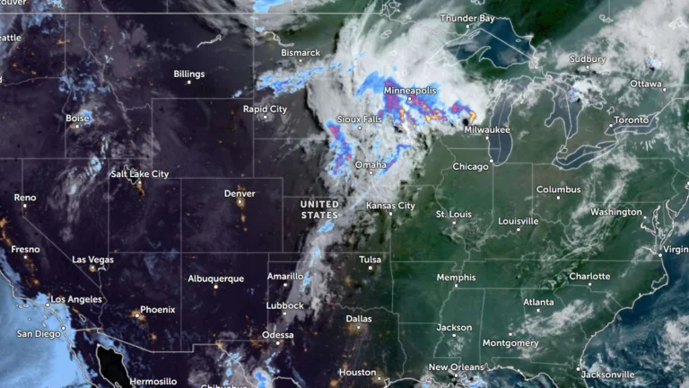
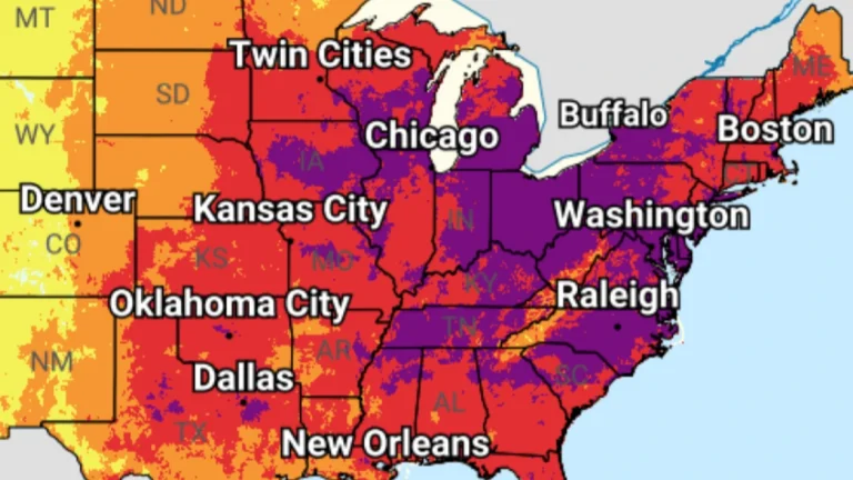
Severe thunderstorms driven by extreme heat and abundant moisture swept across the Midwest and Northeast on Friday and Saturday, July 3 and 4, 2026 toppling trees, damaging power infrastructure and disrupting holiday travel across one of the busiest weekends of the year. Utility crews continued restoration efforts after hundreds of thousands of customers lost electricity across multiple states and parts of Ontario.