• NWS heat advisories cover parts of 17 states on September 1, heat indices up to 43°C (110°F) forecast, U.S.

    Heat Advisories covered a broad corridor from the southern Plains and lower Mississippi Valley through the Midwest, Ohio Valley and parts of the Mid-Atlantic on September 1, 2026. National Weather Service (NWS) offices forecast heat indices from around 37.2°C (99°F) to 43°C (110°F), with several multi-day products citing limited overnight relief as a factor in maintaining the advisories.
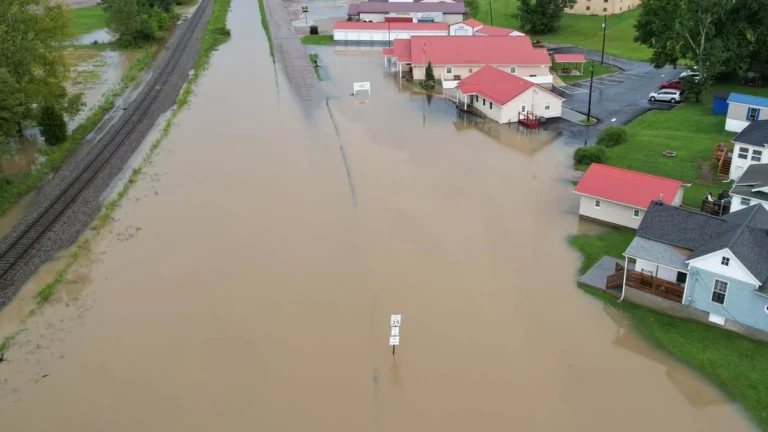
  • State of Emergency declared in Perry and Muskingum counties after flooding leaves one dead, Ohio

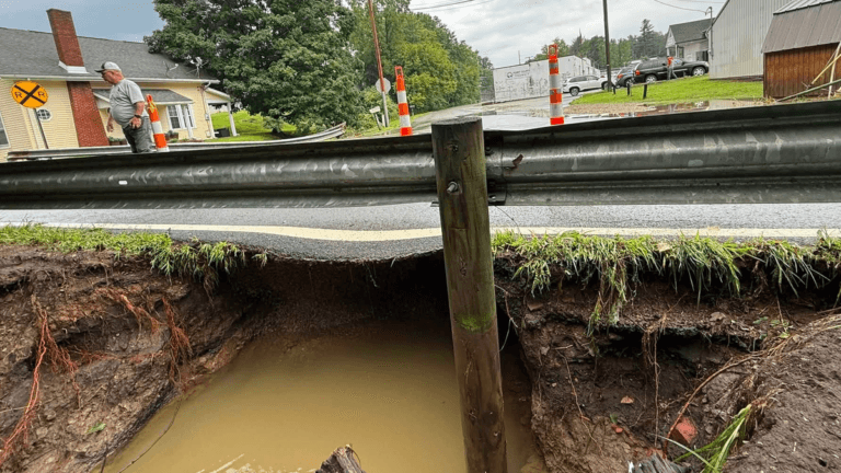
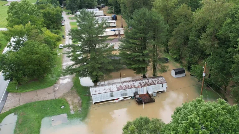
    Ohio Governor Mike DeWine declared a state of emergency in Perry and Muskingum counties on August 11, 2026, after severe flooding left one person dead and affected communities including Roseville, Crooksville and New Lexington. Radar and rain gauges indicated 127–203 mm (5–8 inches) of rain in parts of southeastern Ohio, where numerous structures, vehicles, and roads were flooded. Forty Ohio Army National Guard members were deployed to assist local responders.

  • Severe storms leave at least two dead, spawn at least six tornadoes, and cause flooding across the Midwest and Ohio Valley

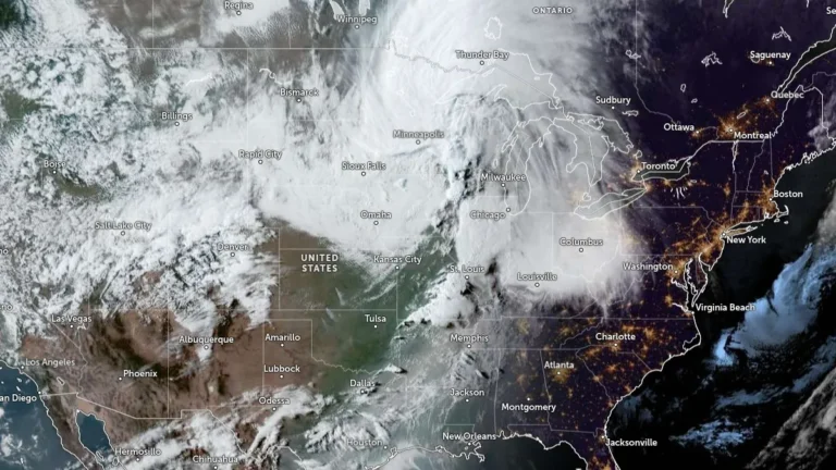
    At least two people died and more than 800 000 utility customers across Illinois, Indiana, Ohio and Kentucky were without power at 00:00 EDT on August 12 (04:00 UTC on August 12) after severe storms swept the Midwest and Ohio Valley on August 11, 2026. Sixteen incarcerated people were transported to hospitals for treatment after a reported lightning strike at an Ohio correctional facility. At least six tornadoes were confirmed in association with a system that the Storm Prediction Center preliminarily classified as a derecho, while additional rounds of storms brought destructive winds and flooding to Ohio.

  • Multiple water rescues conducted as severe storms bring 115 km/h (70 mph) wind threat to flood-hit Perry County, Ohio

    Severe thunderstorms with radar-indicated wind gusts of up to 115 km/h (70 mph) crossed Perry County, Ohio, late in the morning of August 11, 2026, after parts of Perry and Morgan counties received 127–178 mm (5–7 inches) of rain overnight. Multiple water rescues were conducted while Flash Flood Warnings remained in effect following an overnight Flash Flood Emergency.

  • Enhanced Risk of severe thunderstorms from northern Illinois into the Ohio Valley

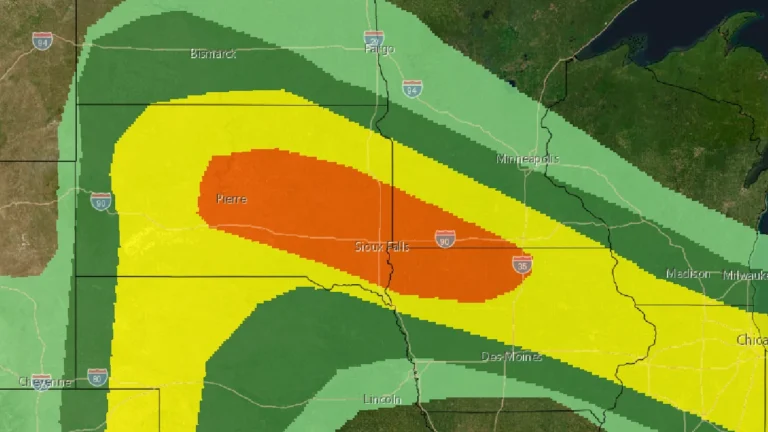
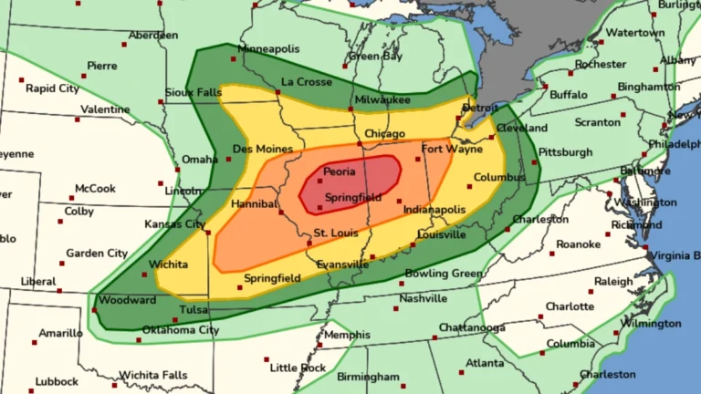
    The Storm Prediction Center (SPC) issued an Enhanced Risk of severe thunderstorms from northern Illinois into the Ohio Valley for August 11, 2026, with damaging winds the primary threat. A potentially organized mesoscale convective system moving southeast from Iowa could produce a swath of damaging gusts, including some above 120 km/h (75 mph), if it remains well organized.

  • Ohio storms kill 5-year-old boy as historic rainfall floods Kelleys Island

    Severe storms and flash flooding affected parts of Ohio on July 5 and 6, 2026, killing a 5-year-old boy in Monroe County and producing historic and potentially record-breaking rainfall on Kelleys Island. The National Weather Service confirmed an EF1 tornado and a destructive macroburst in Mahoning County, where straight-line winds downed nearly 1 000 trees.

  • Severe storms leave over 260 000 without power, 1 dead across Midwest after tornado warnings in St. Louis and Illinois

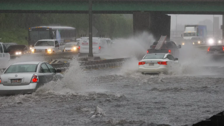
    Severe storms moved across the Midwest on Monday, April 27, 2026, producing tornado warnings in the St. Louis area and Illinois, while heavy rain caused flooding into early Tuesday. More than 250 000 customers lost power across Missouri, Illinois, Kentucky, Indiana, Wisconsin, and Michigan, and at least one fatality was reported in Michigan after a tree fell during the storms.

  • Flooding impacts northern Indiana, southern Michigan and northwest Ohio after heavy rainfall

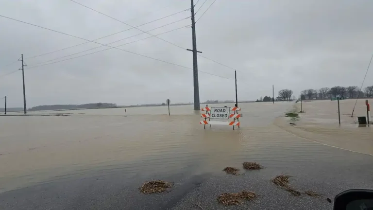
    Flooding developed across northern Indiana, southern Michigan, and northwest Ohio between March 31 and April 5, 2026, following multiple rounds of heavy rainfall totaling over 100 mm (4 inches) in many locations. Rivers including the St. Joseph, Maumee, and Tippecanoe rose rapidly to moderate flood stage, with some locations experiencing sharp rises within hours. Flooding impacted parks, infrastructure, and transportation, with additional storm damage reported in parts of Ohio.