• Blizzard conditions and destructive winds forecast for the northern Plains and northern Rockies, U.S.

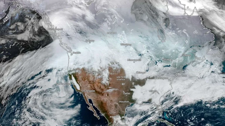
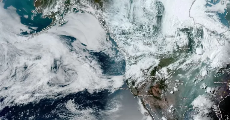
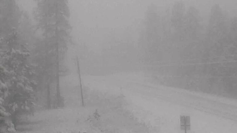
    A fast-moving winter storm is forecast to bring widespread blizzard conditions and destructive winds across parts of Montana, North Dakota, and Minnesota through Wednesday night into Thursday, December 17 into 18, 2025. The system, driven a deep low-pressure trough, is generating gusts up to 110 km/h (70 mph) and localized peaks over 130 km/h (80 mph) in leeward mountain areas, potentially leading to whiteout conditions, road closures, and power outages across the region.
  • High Wind Warnings issued for the Rockies, Plains, and Pacific Northwest, U.S.

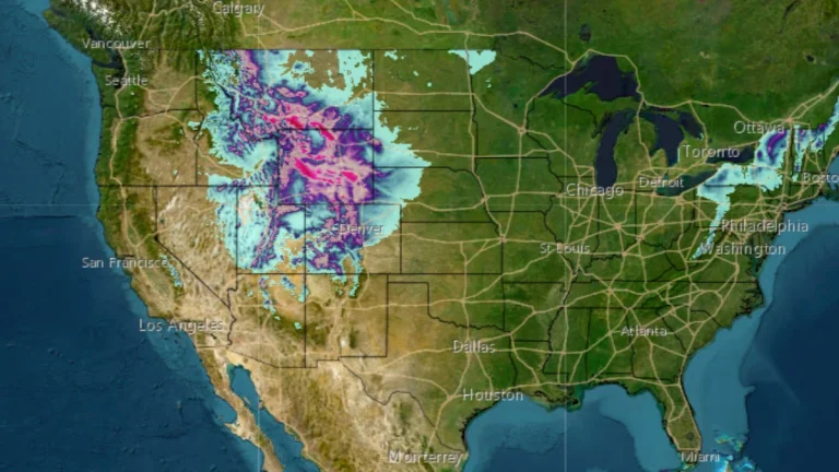
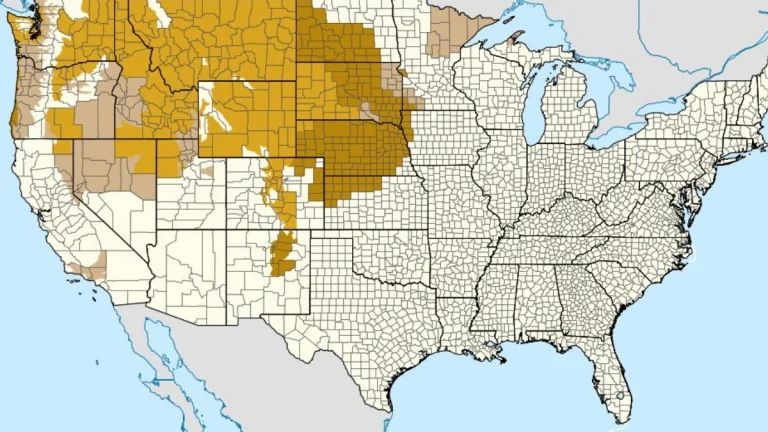
    High Wind Warnings have been issued across much of the western and central United States, effective from early Wednesday, December 17, 2025, through Thursday morning, December 18. Forecasts indicate a rapidly deepening low-pressure system developing east of the Canadian Rockies, producing winds of over 130 km/h (80 mph) in some areas. Power outages, tree damage, and hazardous travel conditions are expected from the Intermountain West to the Great Plains.

  • High wind warnings and watches issued for parts of Montana, Wyoming, Idaho, Washington, and Oregon

    The National Weather Service (NWS) issued multiple high wind warnings and watches across the Pacific Northwest and northern Rockies on Monday, December 15, 2025, as a strong surface low-pressure system moved into the region. The alerts cover parts of Montana, Wyoming, Idaho, Washington, and Oregon, and remain in effect through Wednesday afternoon, December 17, with sustained winds of 40–70 km/h (25–45 mph) and gusts exceeding 110 km/h (70 mph) forecast in exposed and mountainous areas.

  • Winter Weather Advisories in effect across Montana through Tuesday morning

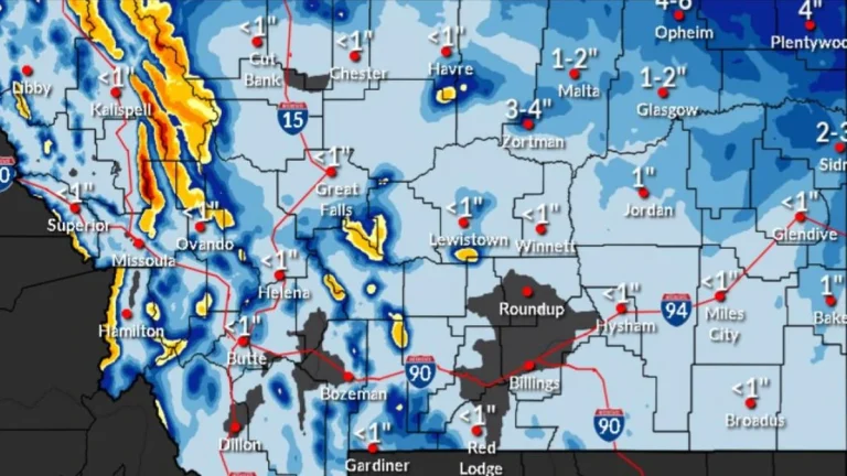
    Winter Weather Advisories covering mountain regions and the northeastern plains of Montana remain active through early Tuesday, November 25, 2025, with snow, freezing rain, and strong winds generating hazardous travel conditions. Mountain passes, including Lolo, Lost Trail, and Marias, may receive 5–45 cm (2–18 inches) of snow, while northeastern counties face light accumulation, freezing rain, and winds up to 55 km/h (35 mph).