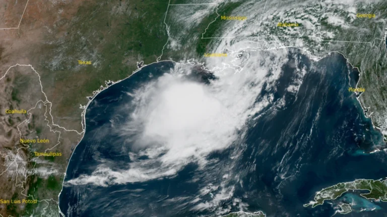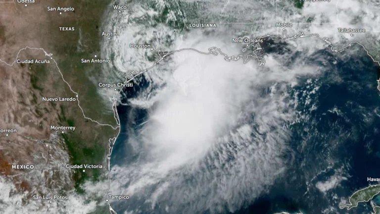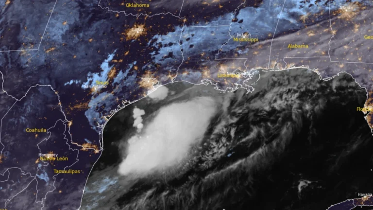
• Hurricane Isaias leaves at least six dead, hundreds of thousands without power after Florida landfall

    At least six people died after Hurricane Isaias made landfall near Destin, Florida, as a Category 2 hurricane at about 20:30 LT on October 9 (01:30 UTC on October 10). Approximately 408 000 customer accounts remained without power across Florida, Alabama, Georgia and Mississippi shortly before 13:00 UTC on October 11, while the post-tropical cyclone continued producing flooding and wind hazards farther northeast.
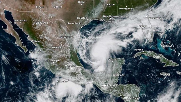
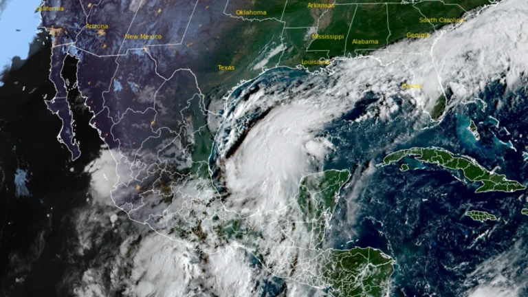
  • Hurricane and storm surge watches issued for northern Gulf Coast as Isaias strengthens, U.S.

    Hurricane, storm surge and tropical storm watches were issued for portions of the U.S. northern Gulf Coast on Wednesday morning, October 7, 2026, as Tropical Storm Isaias strengthened over the Gulf of America, according to the National Hurricane Center (NHC). The watches extend from the mouth of the Mississippi River eastward to Yankeetown, Florida.

  • Tropical Depression Nine forms over Gulf of America, forecast to become hurricane before approaching U.S. Gulf Coast

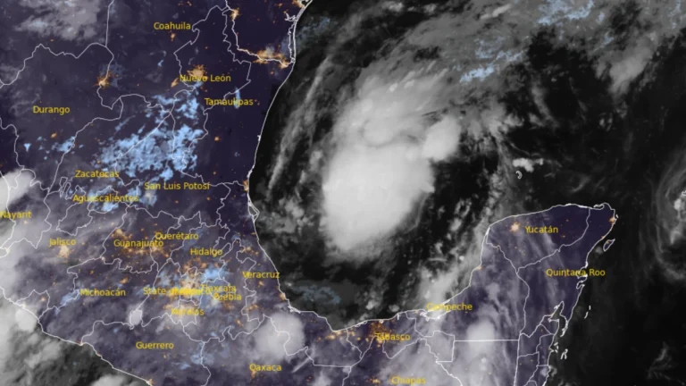
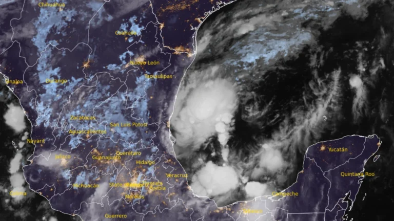
    Tropical Depression Nine formed over the southwestern Gulf of America on October 6, 2026, and is forecast to strengthen into a tropical storm early Wednesday and a hurricane on Thursday. The system is expected to approach the U.S. northern Gulf Coast on Friday, with an increasing risk of dangerous wind, storm surge and heavy rainfall impacts.

  • Flood Watch issued for northeastern Florida as AL92 raises late-week Gulf Coast rainfall threat, U.S.

    A Flood Watch is in effect for northeastern Florida and Camden County, Georgia, from 10:00 to 20:00 EDT (14:00 UTC October 6 to 00:00 UTC October 7), with the National Weather Service (NWS) forecasting locally 76–127 mm (3–5 inches) of rain. The Weather Prediction Center (WPC) maintains a Marginal Risk of excessive rainfall across much of Florida through Thursday, while a broader heavy-rain threat is forecast along the northern Gulf Coast from Friday as disturbance AL92 moves northeastward and interacts with an upper-level trough.

  • NOAA forecasts moderate to high respiratory irritation risk from red tide in Galveston County, Texas

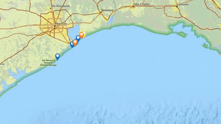
    A Karenia brevis red tide bloom is affecting parts of Galveston County, Texas, on September 16, 2026, after state biologists confirmed moderate to high cell concentrations, fish kills and respiratory irritation along the coast. NOAA forecasts a moderate to high risk of respiratory irritation at some beaches on Galveston Island and Bolivar Peninsula as the bloom continues.

  • Tropical Storm Edouard strengthens in northern Gulf, Hurricane Watch issued for Texas and Louisiana

    Tropical Storm Edouard was strengthening over the northern Gulf early on September 1, 2026, after Tropical Depression Five became a named storm at 00:00 UTC. The National Hurricane Center (NHC) issued a Hurricane Watch and Storm Surge Warning for portions of the Upper Texas and southwestern Louisiana coasts at 03:00 UTC, warning that Edouard could approach hurricane strength before reaching the northwestern Gulf Coast later on September 1.

  • Tropical Storm Bertha makes landfall in St Bernard Parish, Louisiana, heads toward upper Texas coast

    Tropical Storm Bertha made landfall at approximately in St. Bernard Parish, Louisiana at approximately 13:50 CDT (18:50 UTC)on July 22, 2026, with maximum sustained winds of 72 km/h (45 mph). Storm surge of up to 1 m (3 feet), rainfall totals of 25 to 100 mm (1 to 4 inches) with isolated amounts reaching 150 mm (6 inches), and isolated flash flooding remain possible across portions of the central and western Gulf Coast through July 24.

  • Flood threat expands along Gulf Coast as Potential Tropical Cyclone One nears Louisiana

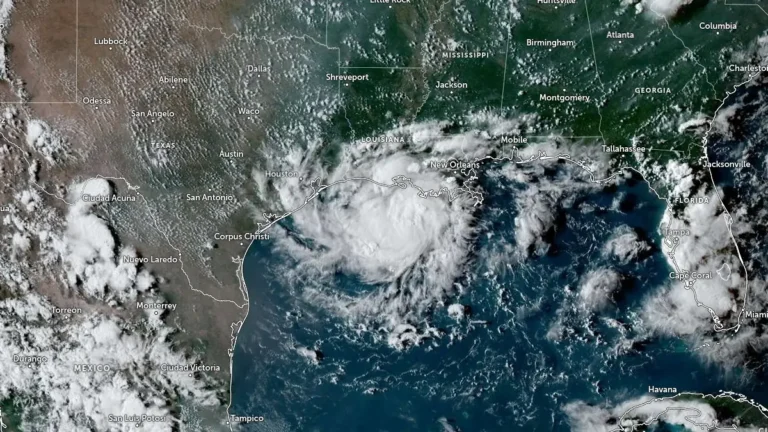
    Heavy rainfall, flash flooding, storm surge, and isolated tornadoes are expected across portions of the Gulf Coast as Potential Tropical Cyclone One tracks along the Texas coast on June 17, 2026. While the system is unlikely to develop into a tropical cyclone, it could bring rainfall totals of up to 500 mm (20 inches) to some areas along with the severe weather.