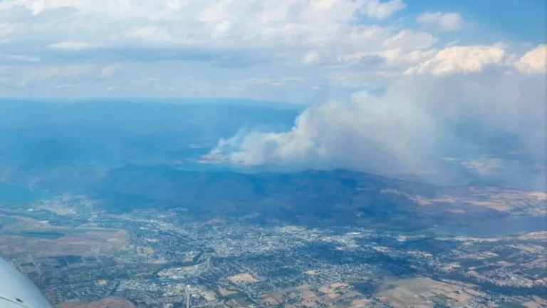
• B.C. declares provincial emergency as out-of-control Bald Range wildfire grows to over 10 000 ha (25 000 acres)

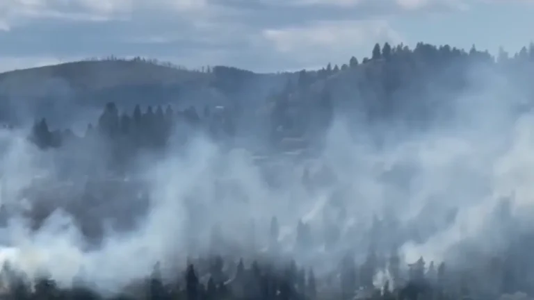
    British Columbia declared a State of Provincial Emergency on August 8, 2026, after the rapidly expanding Bald Range wildfire pushed into the Summerland area and forced large-scale evacuations across the South Okanagan. By August 9, BC Wildfire Service classified the 10 341 ha (25 552 acres) fire as a Wildfire of Note and Out of Control, with five Evacuation Orders and four Evacuation Alerts associated with the incident. By 21:30 PDT on August 8 (04:30 UTC on August 9), all 5 688 properties in the District of Summerland were under Evacuation Order, while the Regional District of Okanagan-Similkameen reported another 416 properties under order and 1 100 under alert.
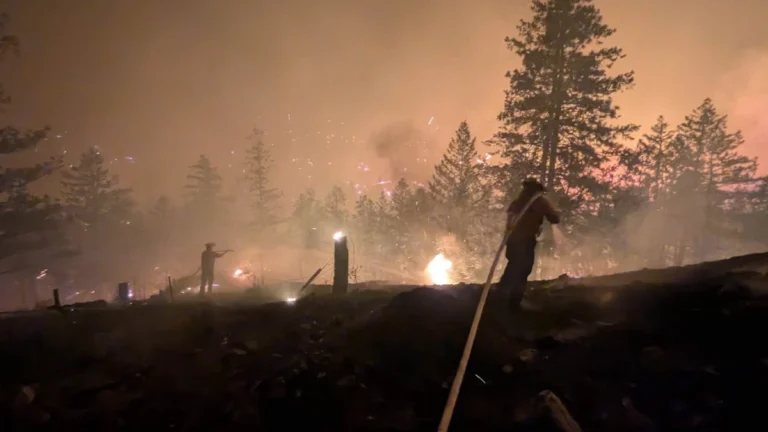
  • Out-of-control Bradley Creek wildfire burns 2 852 ha and destroys more than 200 structures in British Columbia, Canada

    The Bradley Creek wildfire remained Out of Control at an estimated 2 852 ha (7 047 acres) west of Vernon, British Columbia, on August 5, 2026. The blaze  destroyed more than 200 structures, prompting evacuation orders and a Do Not Consume Water Advisory across affected areas. Meanwhile, firefighters extinguished hotspots and BC Hydro cleared downed lines and impacted infrastructure.

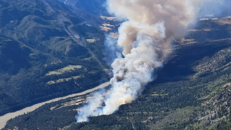
  • Evacuation orders issued near Lytton as Saw Creek wildfire grows to 200 ha (494 acres), British Columbia, Canada

    Authorities issued evacuation orders for areas east of the Highway 1 corridor near Lytton, British Columbia, as the Saw Creek wildfire grew to an estimated 200 ha (494 acres) on June 20, 2026. Officials warned that the out-of-control wildfire poses a significant risk to life as emergency operations continue south of the community.

  • Landslide reactivation forces evacuation in Old Fort, British Columbia

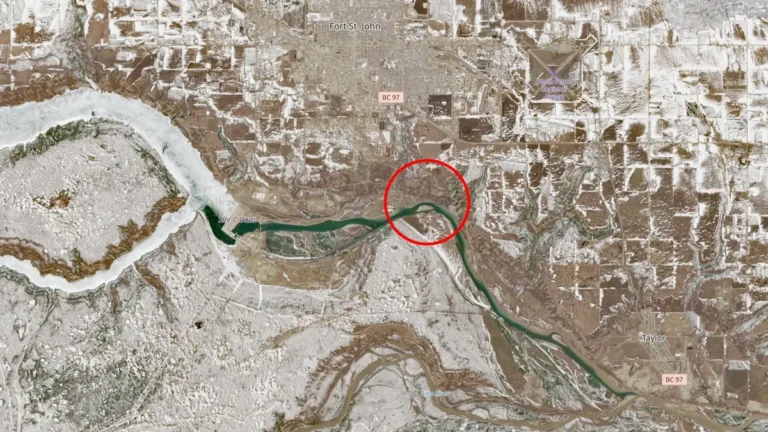
    A reactivated landslide in Old Fort, northeastern British Columbia, Canada, on April 20, 2026, prompted authorities to issue an evacuation order affecting approximately 150 residents. The movement damaged critical infrastructure, including the closure of the main access road, while Emergency Support Services coordinated evacuations and opened a reception center. Rainfall forecast over the next 48 hours introduces additional risk for slope instability.

  • Widespread snow, freezing rain, and strong winds forecast as cross-country storm impacts Canada

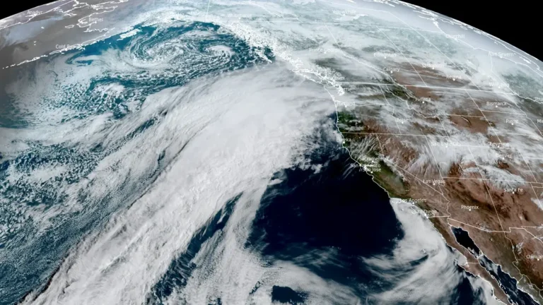
    A cross-country storm is forecast to affect multiple regions of Canada from March 23 through midweek, bringing snow to western and central areas before spreading mixed precipitation and stronger impacts into parts of Ontario, Quebec, and Atlantic Canada. The highest-confidence snowfall totals, reaching 20 to 40 cm (8 to 16 inches) in parts of Newfoundland and elsewhere in Atlantic Canada, are expected to create hazardous travel conditions, reduced visibility, and local transport disruptions.

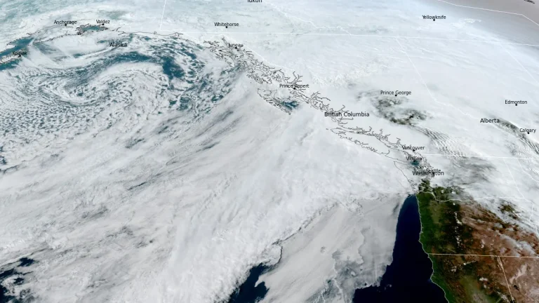
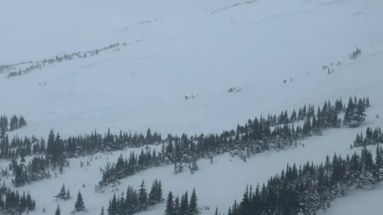
  • Prolonged atmospheric river brings Flood Watch and high avalanche danger to British Columbia as some areas face up to 400 mm (15.7 inches) of rain

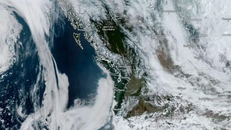
    A prolonged atmospheric river is affecting British Columbia this week, with Flood Watch, multiple rainfall warnings, and Special Weather Statements in effect across parts of the province. Some coastal areas could receive up to 400 mm (15.7 inches) of rain, while heavy rain on existing snowpack is increasing the risk of flooding, washouts, landslides and dangerous avalanche conditions.