• Hurricane Vance continues strengthening south of Mexico, forecast to reach Category 3

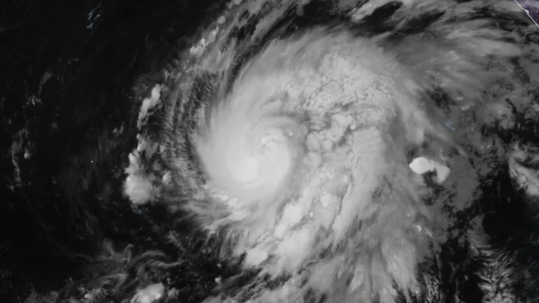
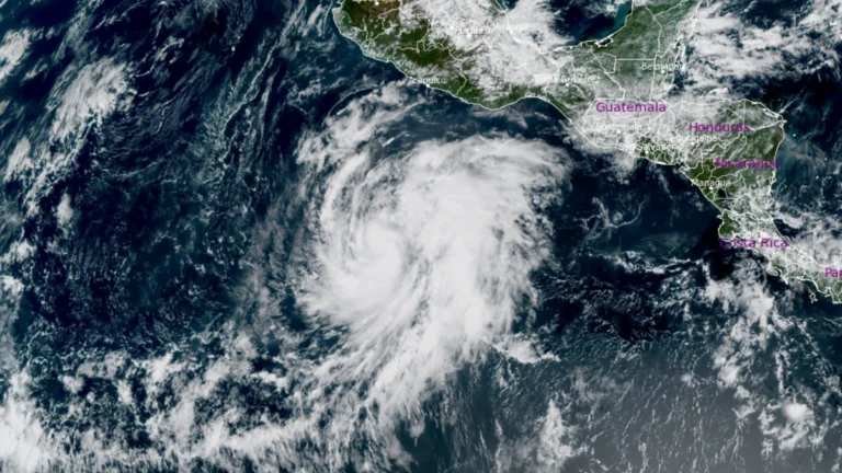
    Hurricane Vance continued strengthening far south of Mexico on October 23, 2026, with maximum sustained winds reaching 150 km/h (90 mph) at 09:00 LT (15:00 UTC). The National Hurricane Center (NHC) forecast Vance to briefly reach Category 3 intensity Saturday morning but said the intensity forecast had low confidence because cooler water and increasing wind shear could limit further strengthening.
  • Eastern Pacific reaches 21 named storms for the first time since 2018 as Tropical Storm Vance strengthens

    Tropical Storm Vance strengthened over the eastern Pacific on October 22, becoming the 21st named storm of the 2026 season and making 2026 the first eastern Pacific season since 2018 to reach that total. At 15:00 UTC, maximum sustained winds had increased to 95 km/h (60 mph), and the National Hurricane Center (NHC) forecast Vance to become a hurricane during the night of October 22 and possibly a major hurricane by the weekend.

  • Super Typhoon Champi becomes the strongest tropical cyclone of 2026, Signal No. 2 remains over Batanes, Philippines

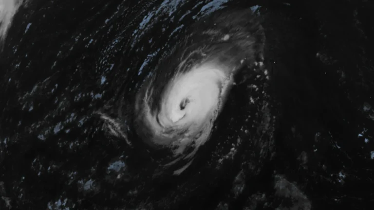
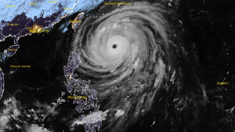
    Super Typhoon Champi, locally named Rosal, became the strongest tropical cyclone of 2026 by maximum sustained wind speed when it reached 296 km/h (185 mph) on October 20, according to NASA’s MODIS program. The cyclone weakened on October 21 while moving toward waters east of the northern Philippines, where PAGASA maintained Tropical Cyclone Wind Signal No. 2 over Batanes and warned of heavy rain and waves reaching 10 m (33 feet).

  • 5 deaths reported in Mexico due to Hurricane Simon and remnants of Rachel

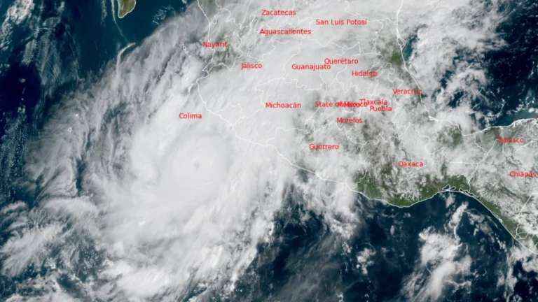
    Hurricane Simon was drifting westward off Mexico’s west-central coast at 15:00 UTC on October 13, 2026, with maximum sustained winds of 150 km/h (90 mph), while the National Hurricane Center (NHC) shifted its forecast track substantially south and described confidence in both the track and intensity forecasts as very low. One death has been attributed to Simon in Guerrero. An Associated Press report separately counted four deaths from post-tropical Rachel in Baja California, bringing the combined toll from the two systems to five at the time of that report.

  • Category 3 Hurricane Simon remains off western Mexico after heavy rain floods Manzanillo

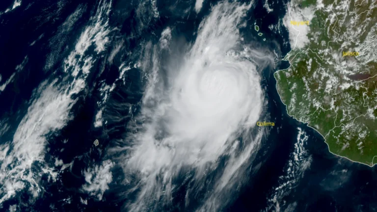
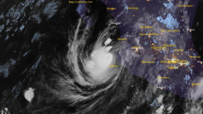
    Category 3 Hurricane Simon remained just offshore west-central Mexico at 03:00 LT (09:00 UTC) on October 12, with maximum sustained winds of 185 km/h (115 mph) and a minimum pressure of 958 hPa, after heavy rain flooded homes and streets in Manzanillo. The National Hurricane Center placed its center 75 km (50 miles) southwest of Cabo Corrientes and warned that dangerous winds, storm surge and additional rainfall could worsen flooding along the coast.

  • Category 4 Hurricane Simon approaches western Mexico with catastrophic wind and storm-surge threat

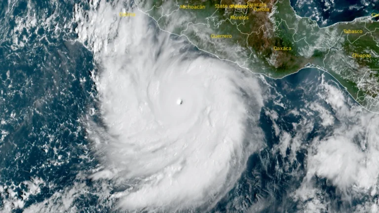
    Category 4 Hurricane Simon was located 185 km (115 miles) south-southwest of Manzanillo, Mexico, at 09:00 LT (15:00 UTC) on October 10, 2026, with maximum sustained winds of 240 km/h (150 mph) and a minimum pressure of 938 hPa. The National Hurricane Center (NHC) said additional strengthening remained possible before Simon approached west-central Mexico as a major hurricane late October 10 or early October 11.

  • Tropical Storm Rachel brings flash-flood threat to Southern California and U.S. Southwest

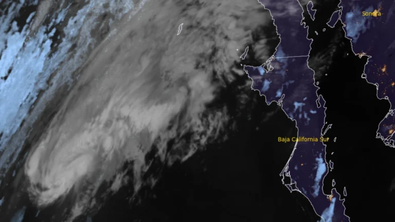
    Tropical Storm Rachel strengthened while accelerating northeast over the eastern Pacific at 06:00 UTC on October 10, 2026, and is forecast to approach northern Baja California or Southern California late October 10 or early October 11. Heavy rain, flash and urban flooding, strong winds, dangerous surf and coastal flooding are forecast across parts of the southwestern United States, where the Weather Prediction Center (WPC) has issued Moderate Risk areas for excessive rainfall.

  • Hurricane Nolo forecast to cross International Date Line into western North Pacific, transitioning into a typhoon

    Hurricane Nolo was forecast to cross 180° longitude on October 4, 2026, and enter the western North Pacific at typhoon strength. At 23:00 HST on October 3 (09:00 UTC on October 4), the National Hurricane Center (NHC) placed Nolo 390 km (240 miles) southwest of Lisianski Island with maximum sustained winds of 175 km/h (110 mph).

  • Hurricane Polo and remnants of Odalys bring heavy rain and flash flood risk across the Four Corners region, U.S.

    Heavy rain is forecast across the Four Corners region through 05:00 PT (12:00 UTC) on September 30, with 50–100 mm (2–4 inches) expected across much of eastern Arizona, western New Mexico, and the San Juan Mountains of southwestern Colorado. Moderate Risk excessive-rainfall outlooks, level 3 of 4, cover much of Arizona and New Mexico and parts of southern Utah and southern Colorado, corresponding to a ≥40% probability of flash flooding.

  • Hurricane Polo makes landfall south of Las Barrancas, Baja California Sur, Mexico

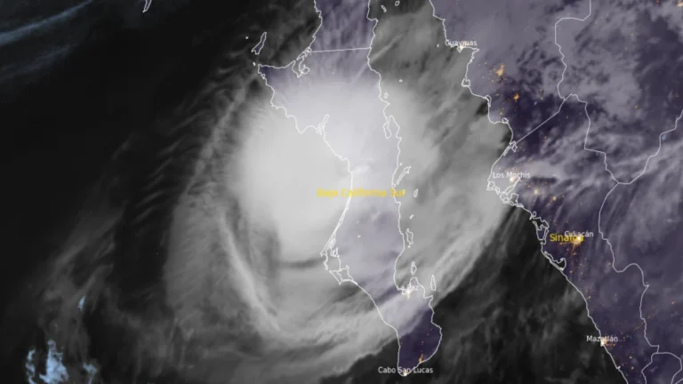
    Hurricane Polo made landfall on the west coast of Baja California Sur just south of Las Barrancas at approximately 23:00 MST on September 28 (06:00 UTC on September 29), with maximum sustained winds of 175 km/h (110 mph), according to the US National Hurricane Center (NHC). Life-threatening winds and flash flooding were ongoing, and Polo was forecast to cross the peninsula before making a second landfall in southern Sonora as a hurricane on Tuesday morning.