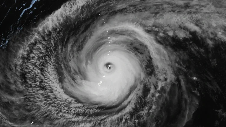
• Super Typhoon Sinlaku cripples power, roads and key infrastructure on Saipan and Tinian

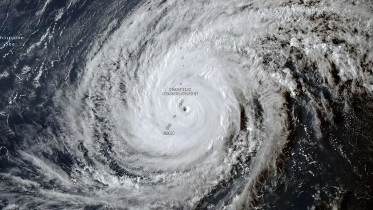
    Super Typhoon Sinlaku struck the Northern Mariana Islands late on April 14, 2026, bringing sustained winds near 241 km/h (150 mph) at peak impact and unusually slow movement that kept destructive conditions over populated islands for hours. The islands of Saipan and Tinian sustained widespread infrastructure damage, prolonged utility outages, blocked roads, and flooding, with officials warning that full restoration in some hard-hit areas could take days to weeks.
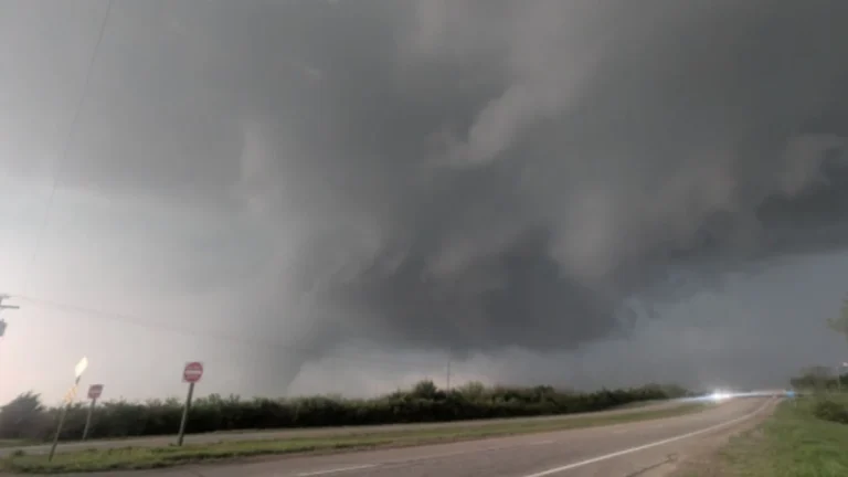
  • NWS confirms EF-2 tornado hit Ottawa, Kansas, injuring 3 on April 13

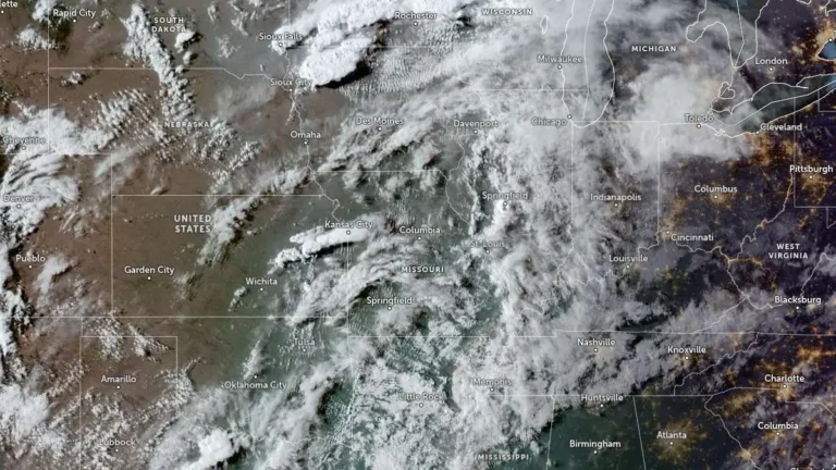
    An EF-2 tornado struck Ottawa in Franklin County, Kansas, between 19:23 and 19:48 CDT on April 13, 2026, damaging homes, businesses, and power infrastructure while injuring three people. The National Weather Service estimated peak winds of 201 km/h (125 mph), with a damage path of 11.75 km (7.3 miles) and a maximum width of 91 m (100 yards).

  • Strong tornadoes, giant hail threaten Iowa to southern Great Lakes as severe storms redevelop

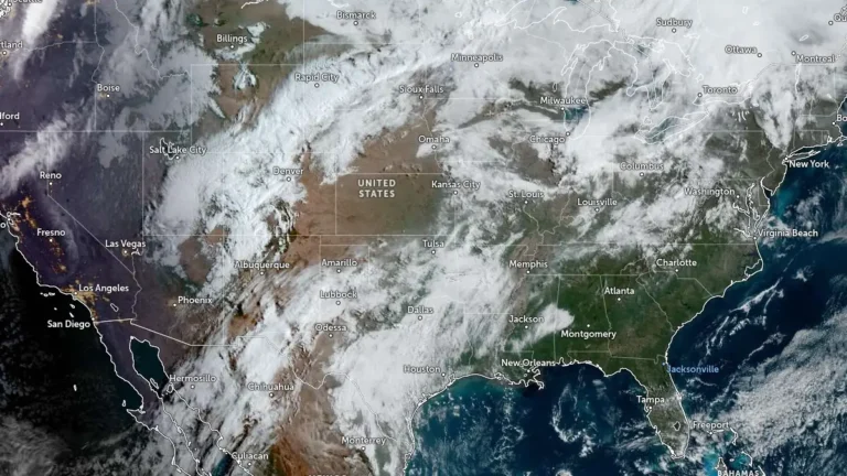
    An Enhanced Risk of severe thunderstorms is in place from eastern Iowa into southern Wisconsin, northern Illinois, and the southern Great Lakes region on Tuesday, April 14, 2026, with large to giant hail, several tornadoes, some of which could be strong, and severe wind gusts possible from late afternoon through overnight. The threat follows an April 13 outbreak that produced at least 14 preliminary tornado reports across Kansas, Minnesota, Iowa, and Wisconsin, increasing concern over repeated impacts in parts of the Midwest.

  • Multiple tornadoes hit Kansas, Minnesota, Iowa and Wisconsin during April 13 severe weather outbreak

    A severe weather outbreak on April 13, 2026, produced at least 14 preliminary tornado reports across Kansas, Minnesota, Iowa, and Wisconsin, with the most serious reported damage in and near Ottawa. No fatalities were immediately reported, but storm surveys were still underway as forecasters warned of additional rounds of severe weather through at least April 16.

  • Super Typhoon Sinlaku nears Saipan and Tinian with destructive winds, flooding and dangerous surf

    Super Typhoon Sinlaku approached Saipan and Tinian on April 14, 2026, with destructive typhoon-force winds, life-threatening coastal flooding and torrential rain expected through Wednesday. The National Weather Service said the storm’s center was just southeast of the islands Tuesday afternoon local time, with the eyewall nearing both islands and dangerous conditions already affecting parts of the Marianas.

  • Tropical Cyclone Maila triggers deadly landslides and severe flooding in Bougainville and eastern Papua New Guinea

    Tropical Cyclone Maila left at least 11 people dead in Bougainville and eastern Papua New Guinea by April 13, 2026, after days of heavy rain, landslides, flooding, and coastal impacts. Eight people were killed when a landslide buried a house in Asiko Village in Central Bougainville, the deadliest single incident reported during the storm.

  • NWS confirms brief tornado touchdown southeast of Vina, California

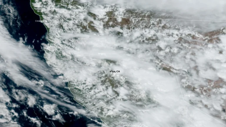
    A tornado briefly touched down in a remote grassland area of southeastern Tehama County, California, at 14:05 PDT (21:05 UTC) on April 12, 2026, about 6.4 km (4 miles) southeast of Vina. The touchdown lasted about 1 minute and caused no reported injuries or structural damage, according to NWS Sacramento.

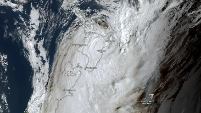
  • Cyclone Vaianu brings destructive winds, heavy rain and widespread disruption to New Zealand’s North Island

    Cyclone Vaianu crossed New Zealand’s North Island on Sunday, April 12, 2026, bringing damaging winds, torrential rain, and large swells that caused flooding, evacuations, power outages, and transport disruption across several districts. The storm made landfall near the Māketū Peninsula in Bay of Plenty shortly after 14:00 LT on Sunday before tracking southeast and moving offshore later that evening. Cleanup continued on Monday as authorities assessed slips, flood damage and coastal impacts.

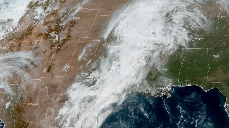
  • Severe thunderstorms possible across southwest and central Texas today

    The Storm Prediction Center placed parts of southwest and central Texas under a Slight Risk of severe thunderstorms on April 12, 2026, with isolated to scattered severe storms possible through this evening. The main concern is for redevelopment later today from southeast and south-central Texas into southwest Texas, where large hail and damaging wind gusts are possible.