
Backcountry Avalanche Watch in effect for Greater Lake Tahoe area along California–Nevada border
A Backcountry Avalanche Watch is in effect for the Greater Lake Tahoe area due to high avalanche danger associated with a rain-on-snow event. The National Weather Service Reno and the Sierra Avalanche Center warn that widespread avalanche activity is possible, including large avalanches capable of burying or injuring people. Travel in avalanche terrain is not recommended during the watch period.
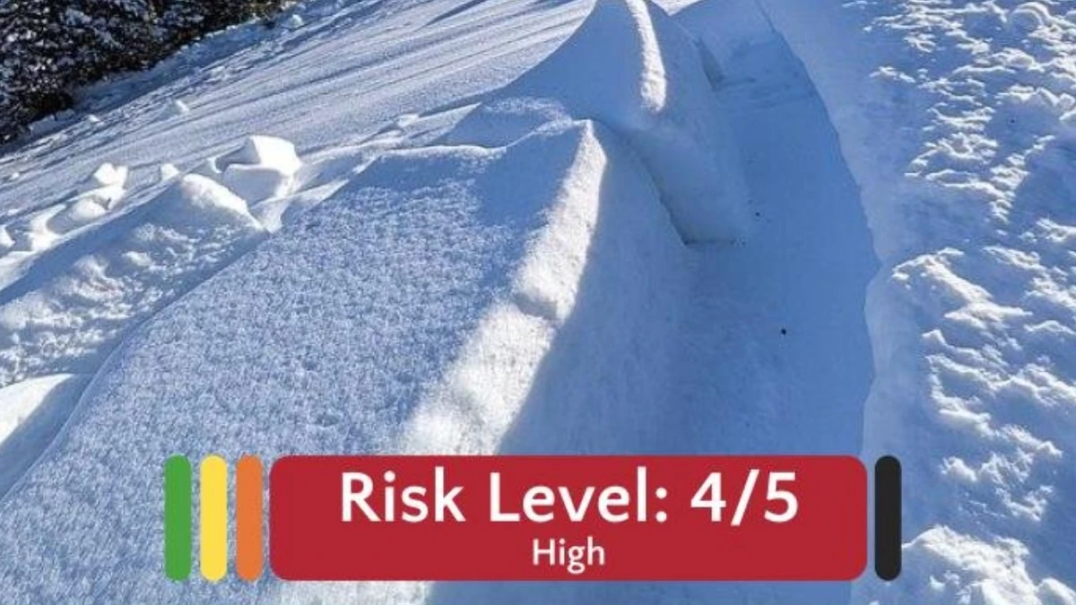
Image credit: NWS Reno
A Backcountry Avalanche Watch is in effect for the Greater Lake Tahoe area as high avalanche danger develops under a rain-on-snow event. The watch is valid from 08:15 PST on February 23, 2026, until 05:00 PST on February 24.
The National Weather Service in Reno, Nevada, in coordination with the Sierra Avalanche Center, has assigned a high avalanche danger rating of 4 out of 5 for backcountry terrain. Under this level, widespread avalanche activity is possible, and large avalanches capable of burying or injuring people may occur.
Forecasters report that rainfall at higher elevations is falling onto an existing snowpack, increasing snowpack load and reducing structural stability. The introduction of liquid water weakens bonding within snow layers and can destabilize slab structures on steep slopes.
Rain-on-snow events are known to accelerate snowpack instability by rapidly increasing weight and decreasing internal cohesion. Such conditions can favor wet slab and glide avalanche formation, particularly in unsupported terrain.
Travel in avalanche terrain is not recommended while the watch remains active. Backcountry users, including skiers and snowmobilers, face elevated risk in steep, avalanche-prone areas where instability may be widespread.

Teo Blašković founded The Watchers in 2011 and edited it until 2026, covering seismic and volcanic activity, extreme weather, space weather and near-Earth objects. Articles on this page are his archive.
Published in the last 24 hours
- High Risk of excessive rainfall covers Florida’s Space Coast as St. Johns River near Cocoa reaches 5.67 m
- Four small asteroids will pass close to Earth from November 21 to 23
- Cyclone Akvan weakens after landfall near Gopalpur; more than 300 000 evacuated in Odisha, India
- A broad low over southeastern Florida and the northwestern Bahamas has a 30 percent chance of subtropical or tropical development within 48 hours and a 50 percent chance within 7 days, the National Hurricane Center says
