
Twin cross-country storms to bring severe weather from the Cascades and Rockies to the Mississippi Valley
A pair of cross-country storm systems will affect large parts of the United States through Friday, January 9, 2026, bringing widespread rain, mountain snow, and a risk of severe thunderstorms. Heavy snowfall is forecast for the Cascades and the southern Rockies. Flash floods and severe thunderstorms are forecast across the Lower Mississippi and Tennessee Valleys by the end of the week.
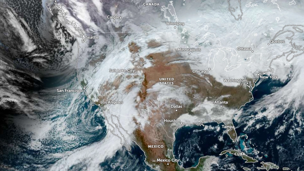
Satellite image of the U.S. at 17:10 UTC on January 7, 2026
An upper-level trough moving south along the U.S. West Coast will turn east over the Southwest on Wednesday morning, January 7. Moisture spreading ahead of the system will produce showers and thunderstorms across the Desert Southwest before snow develops over the mountains of the Four Corners region.
Moderate to heavy snow is forecast overnight Wednesday into Thursday, particularly in higher elevation areas of Colorado, Utah, New Mexico, and Arizona, as another upper wave quickly drops southward behind the leading disturbance.
As the upper-level system moves into the central and southern Plains Wednesday night, lee cyclogenesis will organize a surface low and frontal system across the region. Strengthening southerly flow from the Gulf of Mexico will carry warm, moist air northward, bringing widespread thunderstorms and rainfall from the Plains into the Mississippi Valley on Thursday.

Moderate rainfall is forecast across the region, but heavier rain and scattered flash flooding are expected Friday as the system shifts into the Lower Mississippi and Tennessee Valleys. There will be a risk of severe thunderstorms, heavy rain, and possible tornadoes across the region.
Colder air on the northwest side of the developing low allows for some wintry precipitation from Nebraska into the Upper Midwest, though only light accumulations are expected.

Snowfall is forecast for areas in the post-frontal upslope flow along the Front Range, including southern Colorado, northeastern New Mexico, and portions of southwestern Kansas and the Oklahoma Panhandle through Friday.
Farther west, a strong Pacific system will continue to deliver very heavy snow to the mountains of the Pacific Northwest through Thursday. The Cascades and Olympics are expected to receive an additional 30–60 cm (1–2 feet) of snow, with storm totals reaching 90–120 cm (3–4 feet).

Moderate to heavy snow will also extend across the northern and central Rockies and into the Great Basin, while coastal and lower-elevation areas of the Pacific Northwest experience moderate rain. Precipitation will taper off by late Thursday and Friday as the system moves inland.
References:
1 Short Range Forecast Discussion – NWS/WPC – January 7, 2026

I am an Assistant Editor and Severe Weather & Science Journalist at The Watchers, specializing in real-time severe weather coverage, geophysical event reporting, and research-driven scientific analysis. You can reach me at rishav(at)watchers(.)news.
Commenting rules and guidelines
We value the thoughts and opinions of our readers and welcome healthy discussions on our website. In order to maintain a respectful and positive community, we ask that all commenters follow these rules.