
Moderate-to-strong atmospheric river forecast to impact coastal Washington and Oregon, U.S.
An atmospheric river (AR) is expected to reach the Pacific Northwest (PNW) on Saturday, October 18, 2025, bringing heavy rain and elevated freezing levels above 2 400 m (8 000 feet) before lowering as the system moves east. 25–100 mm (1–4 inches) of rainfall is forecast over coastal Washington and Oregon, with orographic enhancement expected on the Olympic Peninsula and Northern Cascades.
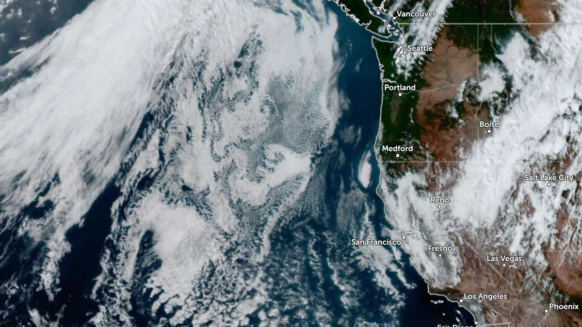
Daytime satellite image of the Pacific Northwest (PNW) at 03:30 UTC on October 16, 2025. Credit: NOAA/GOES-19, RAMMB/CIRA, The Watchers
A quick-moving moderate-to-strong atmospheric river (AR) with integrated vapor transport (IVT) values exceeding 600 kg m⁻¹ s⁻¹ is forecast to move over the Pacific Northwest on Saturday, October 18, bringing heavy rainfall to coastal areas of Washington and Oregon, United States. The event is expected to last just over 14 hours, producing significant precipitation within a short period before moving eastward.
There is also a probability of a second AR moving over the PNW during the middle of next week. The Center for Western Weather and Water Extremes’ (CW3E) landfall forecast tool indicates a 60–70% probability of IVT >250 kg m-1 s-1 conditions over the PNW on Wednesday, October 22.
Forecast models differ on the exact time and strength, with the GEFS control run suggesting AR1-level conditions with peak IVT near 677 kg m-1 s-1late on October 18. Meanwhile, the ECMWF ensemble forecasts a stronger, longer-lasting AR3 event with IVT up to 838 kg m-1 s-1 several hours later.


However, both models forecast primarily southwesterly to westerly vapor transport, favoring orographic rainfall on the Olympic Mountains and northern Cascades.
Two-day rainfall totals could reach 25–50 mm (1–2 inches) across much of coastal Washington and Oregon, through early Monday, October 20, with locally 50–100 mm (2–4 inches) in terrain-enhanced areas, according to the Weather Prediction Center (WPC).
WPC has issued a marginal risk (≥ 5 %; level 1 of 4) of excessive rainfall for the Olympic Peninsula ending at 05:00 local time on Sunday, October 19.


Freezing levels in the Olympic Mountains and North Cascades are expected to rise above 2 400 m (8 000 feet) during peak moisture transport and fall below 1 800 m (6 000 feet) as the system departs. Most precipitation will occur as rain at lower and mid-elevations, with snow possible only on higher peaks around Sunday.
The AR arrives during an ongoing regional drought. The October 10 U.S. Drought Monitor update shows moderate-to-severe drought across western Washington and Oregon, with isolated extreme drought in the northern Cascades. The additional rainfall is expected to help soil moisture recovery and replenish early-season reservoirs.
NOAA’s Climate Prediction Center (CPC) has forecast an active Pacific storm track through late October, consistent with La Niña-related jet-stream patterns expected to favor wetter conditions over the Pacific Northwest in early winter.
References:
1 Quick Look at the Upcoming AR Over the Pacific Northwest – CW3E – October 15, 2025

I am an Assistant Editor and Severe Weather & Science Journalist at The Watchers, specializing in real-time severe weather coverage, geophysical event reporting, and research-driven scientific analysis. You can reach me at rishav(at)watchers(.)news.
Commenting rules and guidelines
We value the thoughts and opinions of our readers and welcome healthy discussions on our website. In order to maintain a respectful and positive community, we ask that all commenters follow these rules.