
Thunderstorms shift east bringing flood risk for New England and New York City area
Widespread thunderstorms are forecast across the United States on Wednesday and Thursday, September 24 and 25, 2025, as a cold front advances eastward. The Weather Prediction Center (WPC) has issued a Slight Risk of Excessive Rainfall for parts of the Ohio and Tennessee Valleys, while isolated flash flooding is possible in southern New England and the New York City metropolitan area as storms reach the Northeast.
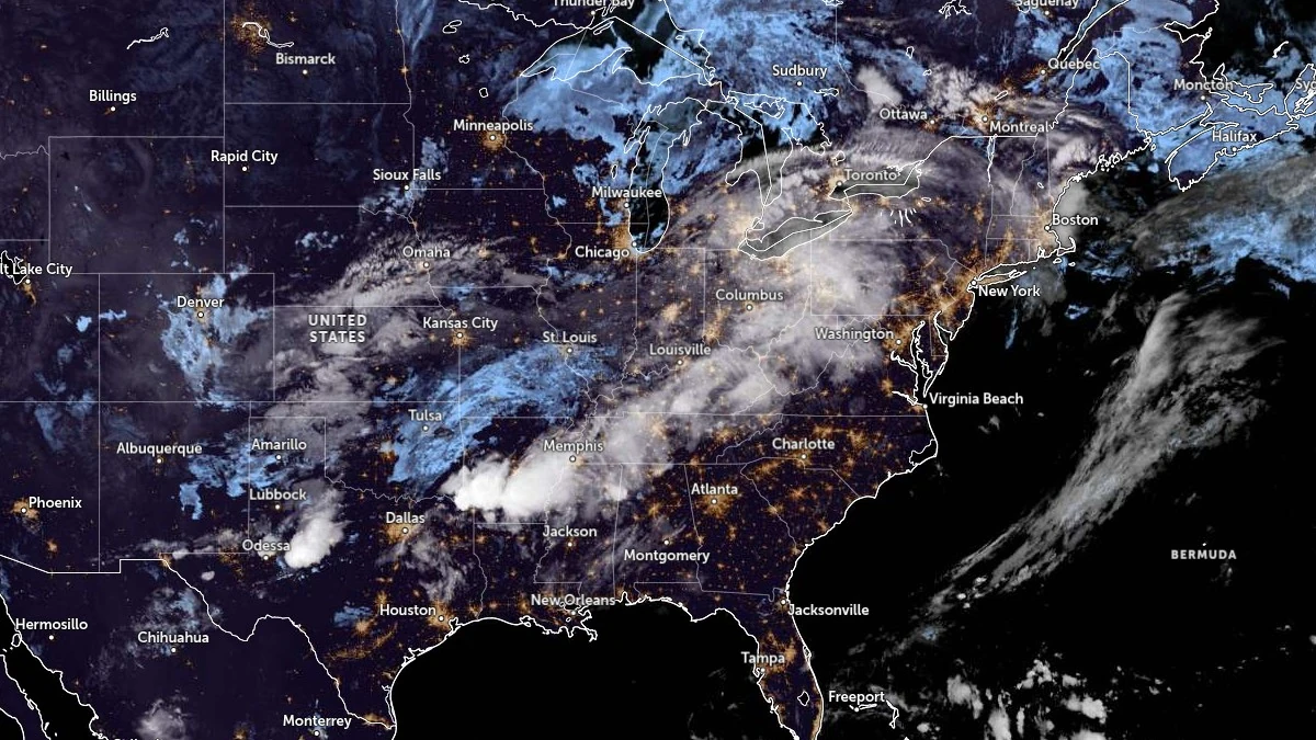
Satellite image of United states at 08:40 UTC on September 24, 2025. Credit: NOAA/GOES-East, Zoom Earth, The Watchers
An upper trough and surface cold front will drive widespread thunderstorm activity from the central United States into the East during the midweek period.
The NWS Weather Prediction Center (WPC) issued a Slight Risk of Excessive Rainfall (level 2/4) on September 24 over the Ohio and Tennessee Valleys, where atmospheric conditions support repeated storm development and rainfall totals of 25–50 mm (1–2 inches), with local maximums above 75 mm (3 inches). The storms may produce scattered flash flooding, especially in urban areas and along small streams, despite generally dry antecedent conditions across the region.
Storms are also expected along a broader corridor stretching from Texas northeastward through the Mississippi Valley and Appalachians into the Lower Great Lakes. A Marginal Risk covers these areas, with localized heavy downpours possible.
While the greatest potential remains focused on the Ohio and Tennessee Valleys, storm clusters will advance eastward through Pennsylvania and New York, bringing the threat of heavy rain into northeastern states.
On September 25, as the front continues toward the Atlantic, storms will expand along the East Coast and into the Southeast.
The WPC maintains a Slight Risk in parts of the Ohio and Tennessee Valleys but notes that isolated flash flooding may also develop farther east in southern New England and the New York City area. Drier soil conditions across much of the region will limit widespread flooding, but heavy rainfall rates within organized storms could overwhelm drainage in localized areas.
In addition to rainfall hazards, some thunderstorms may produce strong gusts, though the primary concern remains localized flooding.
References:
1 Short Range Forecast Discussion – NWS/WPC – September 24, 2025
I'm a dedicated researcher, journalist, and editor at The Watchers. With over 20 years of experience in the media industry, I specialize in hard science news, focusing on extreme weather, seismic and volcanic activity, space weather, and astronomy, including near-Earth objects and planetary defense strategies. You can reach me at teo /at/ watchers.news.
Commenting rules and guidelines
We value the thoughts and opinions of our readers and welcome healthy discussions on our website. In order to maintain a respectful and positive community, we ask that all commenters follow these rules.