
6 fatalities and over 500 crashes reported as winter storm sweeps through the U.S.
A powerful winter storm swept through much of the Midwest and southern United States starting Tuesday, March 4, 2025. The storm claimed 6 lives, spawned over 20 tornadoes, caused hundreds of crashes, and delivered over 46 cm (18 inches) of snow in some areas.
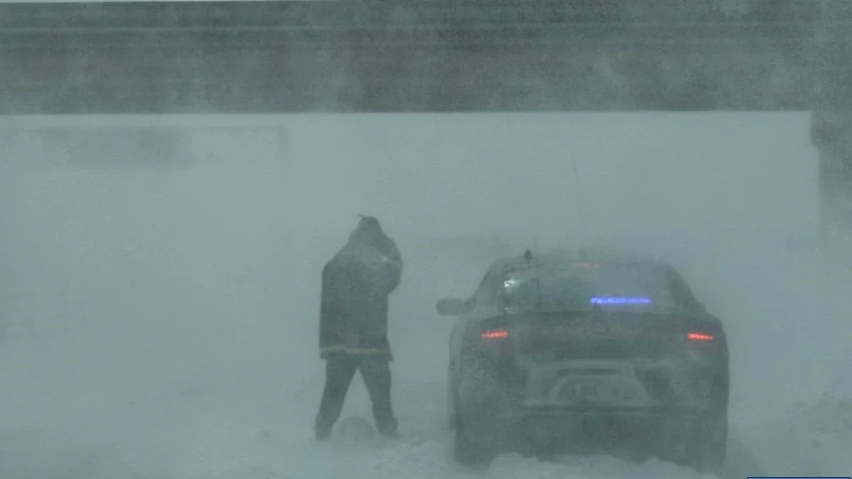
Whiteout conditions in Iowa. Image credit: ISP
A powerful winter storm moved eastward through the Plains on March 4, 2025, triggering severe weather conditions across the Midwest and the South, resulting in at least six fatalities in Nebraska and Mississippi.
The storm swept through the central and southern United States, as well as the Great Lakes region, from March 4 to 6, producing blizzards in the Midwest, along with tornadoes and dust storms in the South. These conditions led to hundreds of crashes and multiple injuries.
In Nebraska, two people died in a crash on Interstate 80 near mile marker 310, close to Grand Island, amid blizzard and whiteout conditions. The Nebraska State Patrol (NSP) reported that a Chevrolet Trailblazer traveling westbound lost control, crossed the median, and struck an eastbound semi-truck. Both occupants of the Chevrolet, Emelin Ortega Rodas, 25, and Daniel Ortega Marroquin, 62, both of Lexington, were pronounced deceased at the scene. The driver of the semi was transported to the hospital with non-life-threatening injuries.
The NSP reported responding to 400 weather-related incidents, including 31 crashes and 382 motorist assists, since Tuesday morning.
In Iowa, the State Patrol reported receiving 575 calls for service and responded to 130 crashes and 445 motorist assists, along with 18 injuries.

Another death was reported in Omaha on March 5, though it has not been confirmed as weather-related. Police also responded to five incidents involving individuals affected by the cold. Three people were transported to a local hospital in stable condition, officials said.
At least 3 people were reported dead, and six were injured in Mississippi as storms swept through the state, causing significant damage to structures.
In Kansas, wind speeds reached 150 km/h (93 mph) in Hugoton on March 4. Several reports of gusts exceeding 129 km/h (80 mph) were recorded across western Kansas earlier in the day. St. Joseph, Missouri, reported wind gusts over 80 km/h (50 mph) for nearly 10 consecutive hours.
The system generated large dust storms in the South, leading to a multi-vehicle pileup near Roswell, New Mexico, and spawned 16 tornadoes across Oklahoma, Louisiana, North Carolina, Texas, Florida, and Mississippi.


Five tornadoes were reported in Oklahoma, with three rated EF-1 and two rated EF-0. Two EF-1 tornadoes were recorded in Louisiana on March 4. Another tornado was confirmed in Boyce, Rapides County, Louisiana, but has not yet been rated.
Three EF-1 tornadoes and one unrated tornado were reported in Texas. An EF-1 tornado near Irving caused significant damage along its path, displacing hundreds of residents.
An EF-1 tornado and an unrated tornado were reported in Mississippi, with the unrated tornado injuring at least four people. One tornado was recorded in Santa Rosa County, Florida, while another was reported near Fairview in Union County, North Carolina.
The tornadoes caused significant damage, tearing roofs off multiple buildings and destroying several structures.
Several roads, including Interstate 80, were closed across multiple states, including Nebraska and Iowa, due to severe weather and multi-vehicle pileups.
One of the largest incidents occurred on March 5 on Interstate 35 near Ankeny, where a pileup blocked the northbound lanes. Earlier, a separate crash involving several trucks and cars occurred on westbound Interstate 80 near Newton, about 56 km (35 miles) east of Des Moines.
The system brought heavy snowfall to multiple regions, with the NWS office in Twin Cities, Minneapolis, reporting accumulations exceeding 30 cm (12 inches) in some areas. Dennison recorded 33 cm (13 inches) of snow, while Credit River and Vaseli each reported 30 cm (12 inches). Several other areas received over 28 cm (11 inches).
The storm is expected to gradually clear northern parts of New England on March 7 as it moves out of the U.S. Another wave of low pressure will develop along the front, bringing additional heavy rainfall.
Much colder temperatures and snow showers will follow the frontal passage, with locally heavy lake-enhanced snowfall expected downwind of the Great Lakes and in the upslope regions of the central and northern Appalachians on March 7 and March 8.
Read more:
References:
1 March 04-05, 2025 Blizzard – NWS – March 6, 2025
2 Short Range Forecast Discussion – NWS – March 6, 2025

I am an Assistant Editor and Severe Weather & Science Journalist at The Watchers, specializing in real-time severe weather coverage, geophysical event reporting, and research-driven scientific analysis. You can reach me at rishav(at)watchers(.)news.
Commenting rules and guidelines
We value the thoughts and opinions of our readers and welcome healthy discussions on our website. In order to maintain a respectful and positive community, we ask that all commenters follow these rules.