
Extremely Critical Fire Weather for Los Angeles and Ventura counties, California
A strong high-pressure system developing over parts of the Great Basin is forecast to set up major Santa Ana winds over southern California starting on Tuesday, January 7, 2025, with an Extremely Critical Outlook being issued for parts of Los Angeles and Ventura counties.
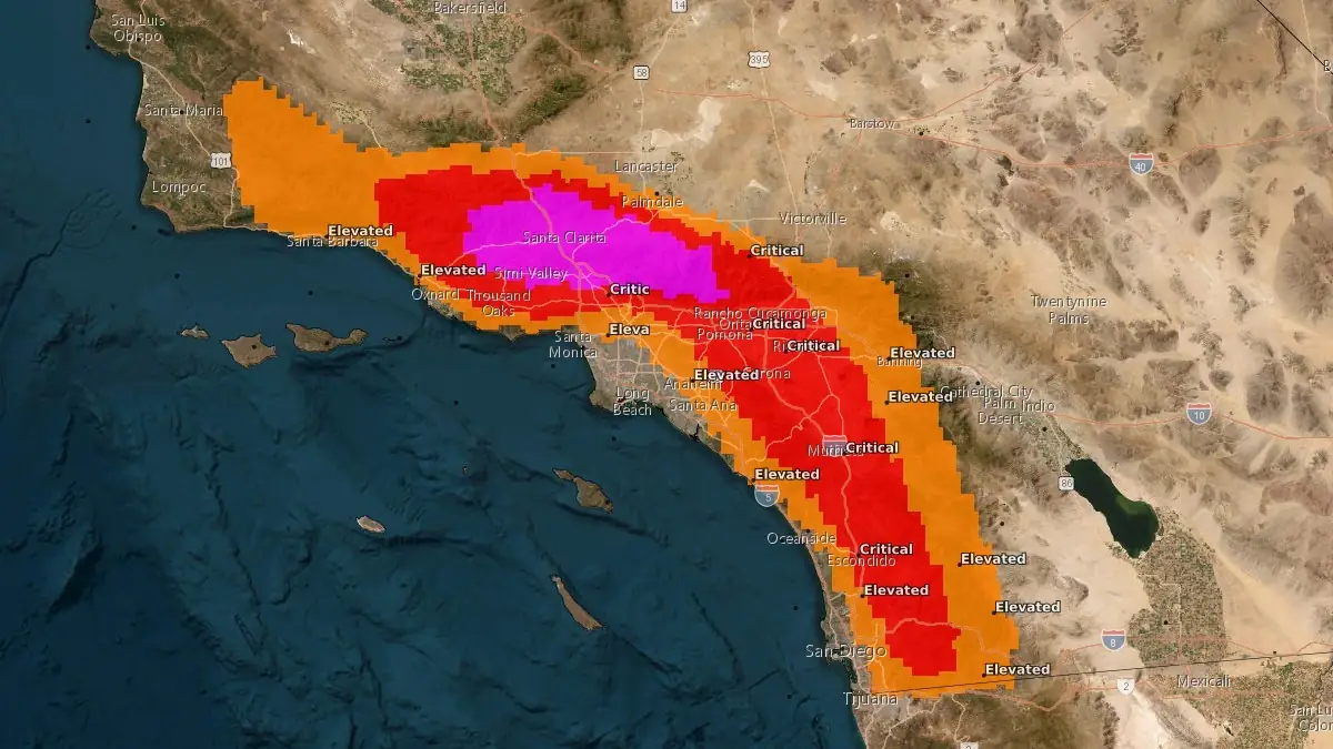
Image credit: NWS
A strong high-pressure area developing over parts of the Great Basin will set up Santa Ana winds over southern California from Tuesday, January 7, to Wednesday, January 8.
The Santa Ana winds will bring extreme fire weather to much of southern California, prompting the National Weather Service Storm Prediction Center (NWS/SPC) to issue a Critical Risk Fire Weather Outlook for the region.
An Extremely Critical Outlook has been issued for portions of Los Angeles and Ventura counties on Wednesday.
“Strong winds are coming. This is a Particularly Dangerous Situation – in other words, this is about as bad as it gets in terms of fire weather. Stay aware of your surroundings. Be ready to evacuate, especially if in a high fire risk area. Be careful with fire sources,” forecasters at the NWS office in Los Angeles said.
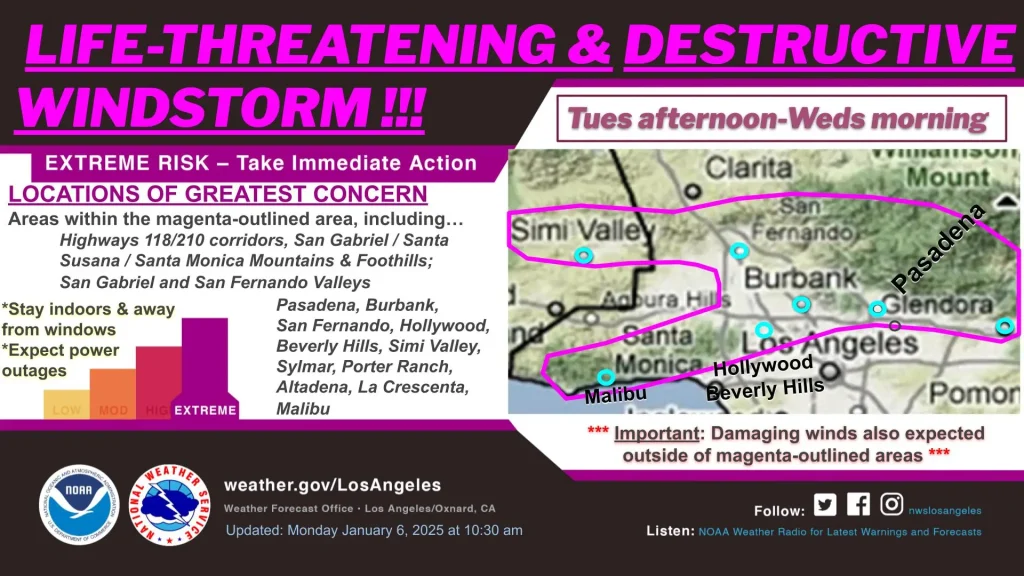
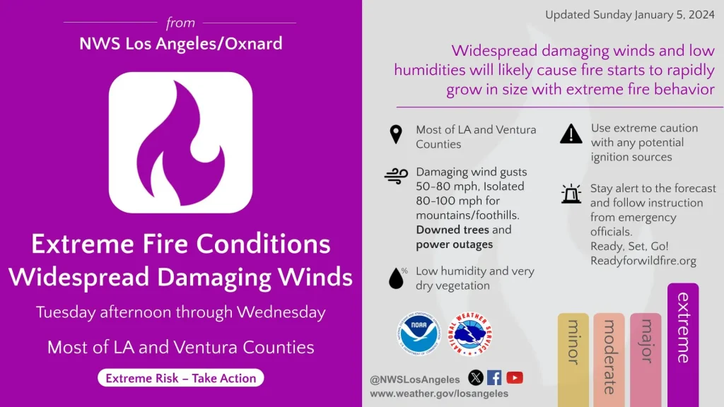
Winds of 32 – 40 km/h (20 – 25 mph) will continue through Tuesday, increasing to 65 km/h (40 mph) on Wednesday. The strong winds, combined with low relative humidity and dry fuels, will create conditions conducive to fire weather.
Several warnings and advisories have been issued for multiple areas across California, with gusts of up to 95 km/h (60 mph) expected in some regions.
Strong winds could topple trees and cause power outages in several areas.
The NWS has advised citizens to avoid outdoor burning during this period.
References:
1 Short-Range Forecast Discussion – NWS/WPC – January 7, 2024

Rishav Kothari is Editor-in-Chief of The Watchers, where he runs the newsroom and covers earthquakes, volcanoes, severe weather and space weather.
Published in the last 24 hours
- Strong El Niño reinforces above-normal winter precipitation outlook across southern and eastern U.S.
- Scientists directly observe how submarine landslides unfold in western Canada Epicenter
- Odisha evacuated 983,642 people before Phailin crossed near Gopalpur on 12 October 2013 with winds of 200-210 km/h gusting to 220, and 44 died, against 9,885 in the 1999 super cyclone. Cyclone Akvan crossed the same coast on 20 November 2026. Epicenter
- Lava fountains reached 1,900 feet (580 m) at Kīlauea Iki in 1959, the highest ever recorded at Kīlauea, as USGS forecasts episode 57 fountaining at Halemaʻumaʻu for November 22-26. Epicenter
