
M6.2 earthquake struck near Bristol Island, South Sandwich Islands
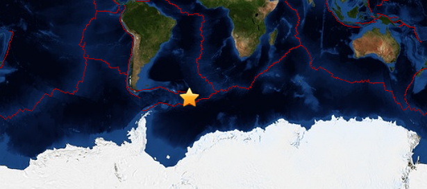
Image credit: Leaflet — Tiles Courtesy of MapQuest — Portions Courtesy NASA/JPL-Caltech and U.S. Department of Agriculture, Farm Service Agency
A 10-km (6.2 miles) deep earthquake registered as M6.2 (USGS, GEOFON) struck near the South Sandwich Islands at 21:32 UTC on July 26, 2013.
The epicenter was located at coordinates 57.789°S 23.959°W or about 203km (126 miles) NE of Bristol Island, South Sandwich Islands. EMSC registered it M6.3 at a depth of 80 km.
(1).jpg)
USGS shake intensity map (Credit: USGS)
There were no tsunami warnings issued and there are no reports of infrastructural damage or casualties.
Commenting rules and guidelines
We value the thoughts and opinions of our readers and welcome healthy discussions on our website. In order to maintain a respectful and positive community, we ask that all commenters follow these rules.