
Earthquake M 6.2 struck Gulf of California
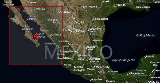
Image credit: TW
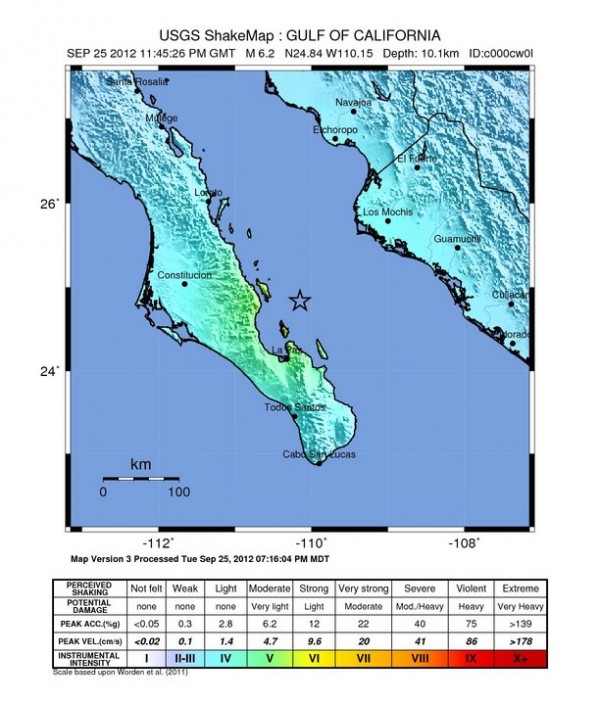
Strong M6.2 earthquake struck in Gulf of California on September 25, 2012 at 23:45:26 UTC. The epicenter was located 75 km (47 miles) N (11°) from La Paz, Baja California Sur and 154 km (96 miles) E (98°) from Constitución, Baja California Sur, Mexico (24.835°N, 110.152°W) at depth of 10.1 km (6.3 miles) according to USGS. EMSC recorded magnitude 5.9 at depth of 33 km.
It was followed by few aftershocks at the same depth, the strongest measuring M4.8.
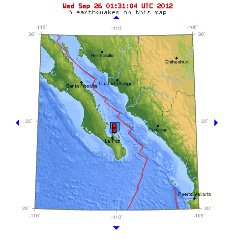
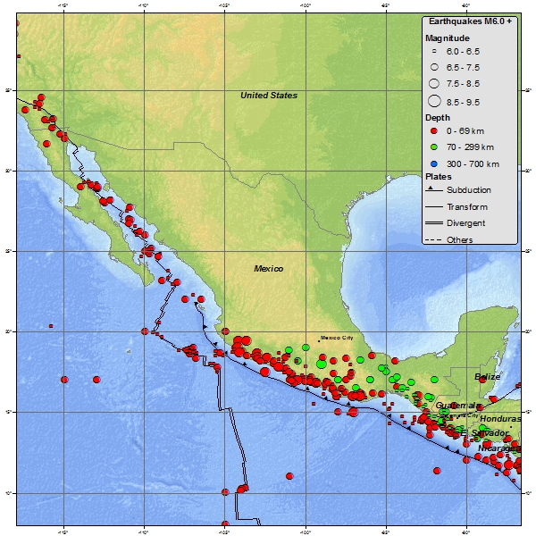
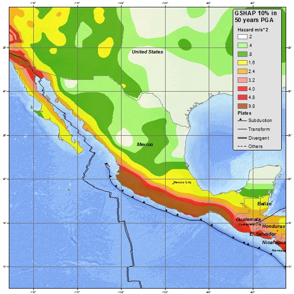
Areas off Mexico’s coastline on the Gulf of California, including the Baja California Peninsula, are riding northwestward on the Pacific plate. Rather than one plate subducting, the Pacific and North American plates grind past each other, creating a slip fault that is the southern extension of the San Andreas fault in California. Motion along this fault in the past pulled Baja California away from the coast, creating the Gulf of California. Continued motion along this fault is the source of earthquakes in western Mexico.

Published in the last 24 hours
- Male toads abandoned a pond in Italy five days before a deadly 2009 earthquake, while a scientist was counting them Epicenter
- An asteroid was spotted 19 hours before it exploded over Sudan in 2008, and students picked its pieces off the desert Epicenter
- A wave up to 3 m (10 feet) high rose out of Lake Michigan on a sunny June morning in 1954 and swept fishermen off Chicago’s piers, and when a second came 10 days later, warnings had cleared the shore Epicenter
- Just 12 inches of rushing water can carry away most cars, and more than half of US flood drownings happen to people who drive into flood water Epicenter
