
NASA to launch weather-climate satellite Oct 27
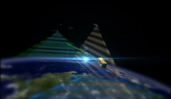
Image credit: TW
A satellite that aims to help weather forecasters predict extreme storms and offer scientists a better view of climate change is being readied for launch this month. The 1.5 billion dollar National Polar-orbiting Operational Environmental Satellite System Preparatory Project (NPP) is the first to measure both short and long term changes in weather and climate, the US space agency said.
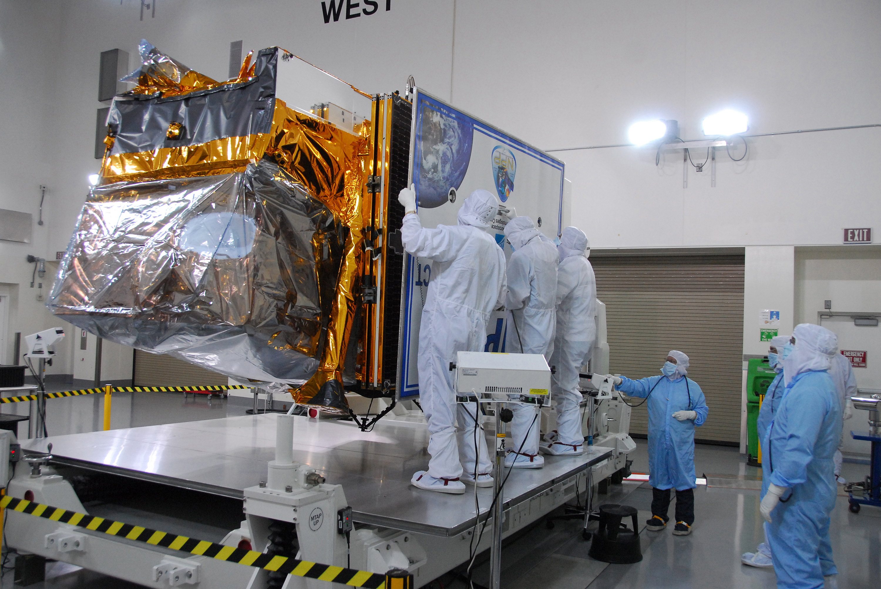
The launch is scheduled for Thursday, October 27 from Vandenberg Air Force Base in California between 5:48 am Eastern time (0948 GMT) and 5:57 am (0957 GMT). It is really the first mission that is designed to provide observations for both weather forecasters and climate researchers. The SUV-sized satellite will carry five instruments to study temperature and water in the atmosphere, how clouds and aerosols affect temperature, and how plants on land and in the ocean respond to environmental changes.
“The future of the environment is as much tomorrow’s weather as it is long term climate. NPP’s observations will help scientists better predict the future environment and these prediction are incredibly valuable for economic, security and humanitarian reasons.” Jim Gleason, NPP project scientist.
The satellite is one of 14 Earth observation missions currently being managed by NASA. Project managers said they hope it will operate for about five years.
The timing could not be better, after a year in which the United States saw 10 major and costly weather events – from tornadoes to hurricanes – according to Louis Uccellini, director of the National Oceanic and Atmospheric Administration’s National Centers for Environmental Prediction. 2011 has been the year of the billion-dollar weather disasters, listing off a series of 10 fires, floods, tornadoes and hurricanes that cost the United States one billion dollars each. Scientists expect to improve our forecast skills and extend those forecast skills out to five to seven days in advance for hurricanes, severe weather outbreaks and other extreme weather events.
The satellite is carrying infrared and microwave instruments that are “basically equivalent to a slight improvement over what we are using with the European satellites.” However, since NPP will circle the Earth at a height of 512 miles (820 kilometers) and will be in a polar orbit, researchers expect it will help fill in data gaps left by European weather observatories.
The European Space Agency last year launched CryoSat-2, the third so-called “Earth Explorer” satellite put into orbit by the agency in just over a year. The Gravity field and Ocean Circulation Explorer (GOCE) mission launched in March 2009, and the Soil Moisture and Ocean Salinity (SMOS) mission followed in November. All three missions are designed to study the effect of human activity on Earth’s natural processes.

A Delta II rocket will carry NPP into an orbit 512 miles above Earth’s surface. Roughly the size of a mini-van, the spacecraft will orbit Earth’s poles about 14 times a day. It will transmit data once each orbit to a ground station in Svalbard, Norway, and to direct broadcast receivers around the world.
NPP’s Delta II launch vehicle also will carry several auxiliary payloads into orbit, which together comprise NASA’s third Educational Launch of Nanosatellite, or ELaNa, mission. This mission will put five small research payloads, or CubeSats, into orbit: two for the University of Michigan; and one each for Auburn University, Montana State University and Utah State University. (NASA)
NPOESS Integrated Program Office (IPO)
National Polar-orbiting Operational Environmental Satellite System Preparatory Project (NPP)
National Oceanic and Atmospheric Administration’s National Centers for Environmental Prediction
Ball Aerospace NPP Fact Sheet (PDF)
Gravity field and Ocean Circulation Explorer (GOCE)
Soil Moisture and Ocean Salinity (SMOS)

Earlier reporting
Nothing on Watchers was published in the last 24 hours. These are older articles.
- Right about now, Voyager 1 is crossing a line no human-made object has ever reached, a full light-day from Earth, which means a message NASA sends tonight won't arrive until tomorrow night, and the spacecraft's answer won't make it home until the night after that
- On October 22, 2017, a single flash of lightning stretched 515 miles from eastern Texas to near Kansas City, a distance that takes eight hours to drive, and nobody realized how far it had gone until scientists went back through the satellite data years later Epicenter
- CPC posts a slight risk of heavy rain from the Gulf Coast to the Northeast urban corridor November 25-29, and a moderate risk of West Coast wind and Sierra snow on November 25
- Florida's east coast faces a moderate flash flood risk Wednesday through Friday, with 4 to 8 inches of rain forecast and the St. Johns River near Cocoa already in major flood at 17.13 feet
