
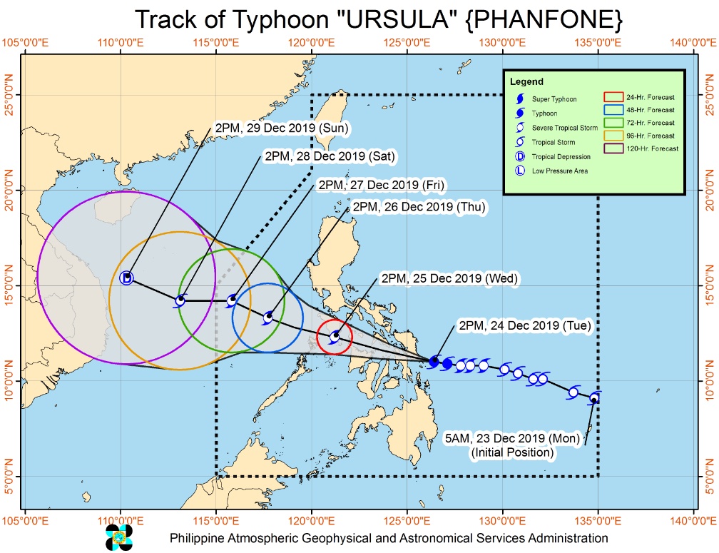
Typhoon “Phanfone” (Ursula) makes landfall in Samar, high-risk structures may experience heavy damage, Philippines

Featured image: Typhoon "Phanfone" (Ursula) at 08:30 UTC on December 24, 2019. Credit: JMA/Himawari-8, UW-CIMSS
Typhoon "Phanfone," known as Ursula in the Philippines, made landfall in Samar on December 24, 2019, with maximum sustained winds of 120 km/h (74 mph) and gusts to 150 km/h (94 mph) — Category 1 hurricane equivalent on the Saffir-Simpson Hurricane Wind Scale. Destructive typhoon force winds are expected to begin affecting areas under TCWS #3 in Masbate including Ticao Islands and portions of Northern Cebu late evening, PAGASA warns. High-risk structures may experience heavy damage. Storm Surge of up to 2 m (6.5 feet) may affect the several coastal areas of Eastern Samar, Northern Samar, and Leyte.
Phanfone made landfall over Salcedo, Eastern Samar at 08:45 UTC (16:45 LT), bringing violent winds over the southern portion of Eastern Samar, according to data provided by PAGASA at 09:00 UTC today. The storm is moving west at 25 km/h (15 mph).
Phanfone is likely to affect Biliran, the southern portion of Samar and the northern portion of Leyte in the coming hours.
.gif)
Heavy rainfall outlook:
Between today and tomorrow noon (LT): Occasional to frequent heavy rains over Dinagat Islands, Siargao and Bucas Grande Islands, Eastern Visayas, Sorsogon, Masbate, northern and central Cebu, northern Negros Provinces, Aklan, Antique, Capiz, Iloilo, Guimaras and Romblon. Light to moderate with intermittent heavy rains over the rest of Bicol Region, Quezon, Marinduque, Oriental Mindoro, and the rest of the Visayas and Surigao del Norte.
Between tomorrow noon and late evening: Occasional to frequent heavy rains over Aklan, Antique, Capiz, Romblon, Marinduque, Oriental Mindoro, Occidental Mindoro, Batangas, and Calamian Islands. Light to moderate with intermittent heavy rains over Cuyo Islands, Negros Provinces, Iloilo, Guimaras, Aurora, and the rest of CALABARZON.
Residents in these areas are advised to take appropriate measures to reduce the potential impact of flooding and rain-induced landslides, especially in areas identified to be highly to very highly susceptible to these hazards.
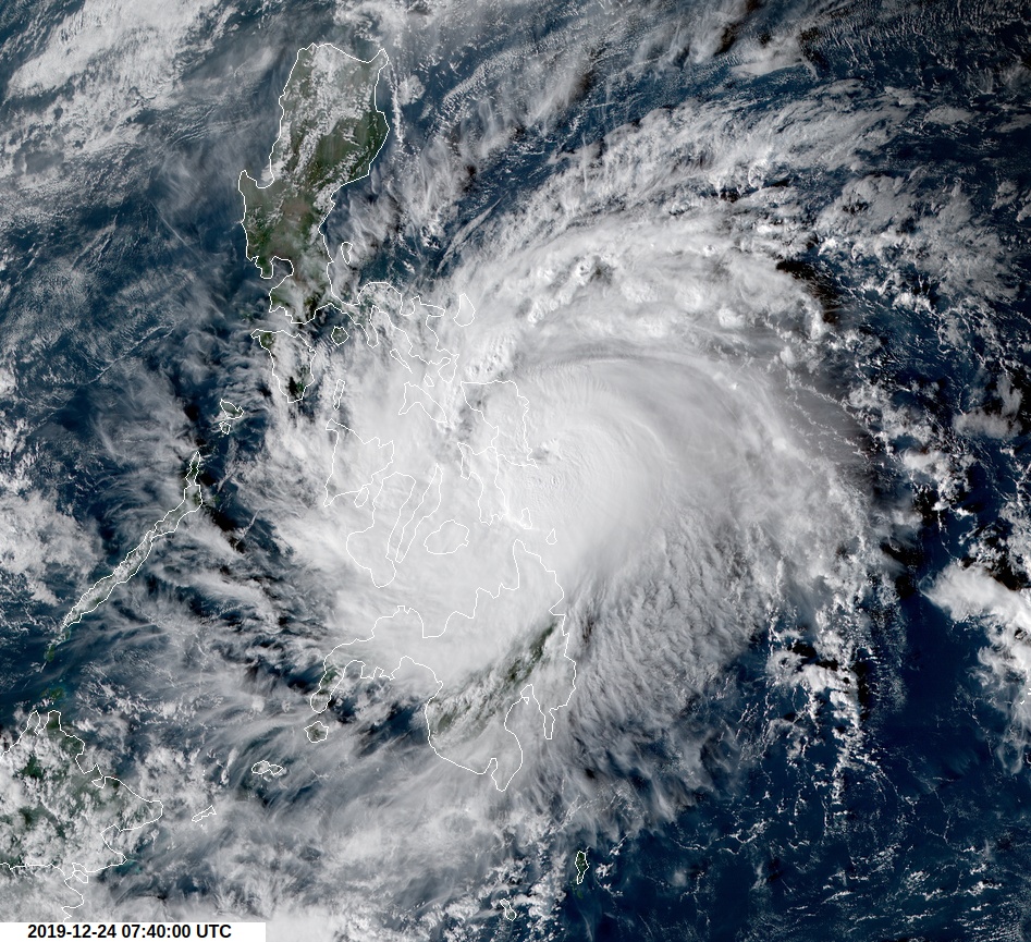
Typhoon "Phanfone" (Ursula) at 07:40 UTC on December 24, 2019. Credit: JMA/Himawari-8, RAMMB/CIRA
Tropical cyclone winds:
Moderate to strong winds to begin affecting Bicol Region and portions of Central Visayas tonight; CALABARZON, and portions of MIMAROPA and Western Visayas tomorrow morning (LT); Metro Manila, Bulacan, and Bataan tomorrow afternoon. Medium to high-risk structures may experience light damage.
Damaging gale to storm-force winds to begin affecting areas under Tropical Cyclone Wind Signal (TCWS) #2 in Albay, Sorsogon, Romblon, Aklan, Capiz and portions of Antique, Iloilo, and rest of northern Cebu tonight; in Marinduque, the southern portion of Quezon, Mindoro Provinces tomorrow morning. This may bring light to moderate damage to high-risk structures and at most light damage to medium-risk structures.
Destructive typhoon force winds to begin affecting areas under TCWS #3 in Masbate including Ticao Islands and portions of Northern Cebu late evening. High-risk structures may experience heavy damage.
Other hazards and warning Information:
Storm Surge of up to 2 m (6.5 feet) may affect the several coastal areas of Eastern Samar, Northern Samar, and Leyte.
Rough sea conditions will prevail starting today over the eastern seaboards of the country; this afternoon or tonight over the inland waters of Southern Luzon and the Visayas; tomorrow afternoon over the western seaboards of Southern Luzon. Sea travel is risky over these areas.
I'm a dedicated researcher, journalist, and editor at The Watchers. With over 20 years of experience in the media industry, I specialize in hard science news, focusing on extreme weather, seismic and volcanic activity, space weather, and astronomy, including near-Earth objects and planetary defense strategies. You can reach me at teo /at/ watchers.news.
Commenting rules and guidelines
We value the thoughts and opinions of our readers and welcome healthy discussions on our website. In order to maintain a respectful and positive community, we ask that all commenters follow these rules.