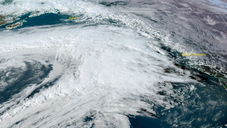
• Large marine heatwave persists off the U.S. West Coast since summer 2025

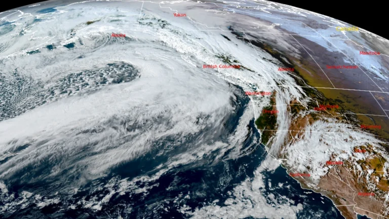
    A large marine heatwave has persisted along the U.S. West Coast since summer 2025, raising sea surface temperatures about 1.7–2.2°C (3–4°F) above average across parts of the Northeast Pacific. In a report published March 3, 2026, the National Oceanic and Atmospheric Administration (NOAA) Fisheries said this is only the third time in the observational record for the California Current ecosystem that such a large portion of coastal waters has remained anomalously warm for so long into winter without El Niño conditions.

  • Strong atmospheric river to impact California, up to 500 mm (20 inches) of rain forecast for Sierra Nevada

    Three atmospheric rivers are expected to impact California between December 20 and 25, 2025, producing 250–500 mm (10–20 inches) of rain over the Sierra Nevada and 75–180 mm (3–7 inches) over southern coastal ranges. The strongest system is forecast to peak on December 23–25 with IVT values surpassing 750 kg m⁻¹ s⁻¹ and AR3–AR4 intensity.

  • Major atmospheric river forecast to impact the Pacific Northwest with heavy rain and flooding risk

    A major atmospheric river (AR4–AR5 possible) is forecast to make landfall over the Pacific Northwest early Monday, December 8, 2025, and persist through Wednesday, December 10, bringing multiple days of heavy rain and elevated snow levels. Ensemble guidance shows ~70–80% of members reaching at least AR4 in southern coastal Washington, with ~20–30% indicating AR5, raising the risk of widespread riverine flooding.

  • Four atmospheric rivers forecast to bring heavy rainfall across the U.S. West Coast

    Four back-to-back atmospheric rivers are forecast to make landfall along the U.S. West Coast between November 3 and November 9, 2025. Heavy rainfall totals of 76–130 mm (3–5 inches), with isolated amounts up to 177 mm (7 inches), could lead to localized flooding in parts of northern California and Washington State throughout the week.