• Putnam Valley declares emergency, Schodack records 299.47 mm (11.79 inches) of rain, New York

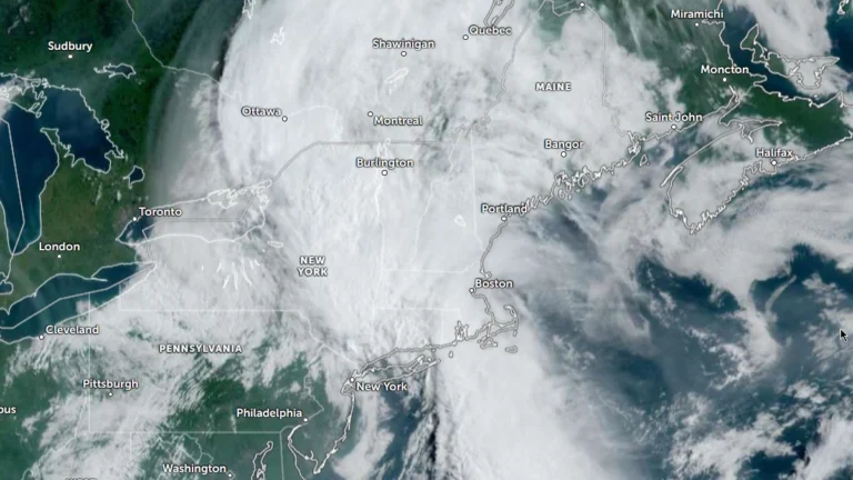
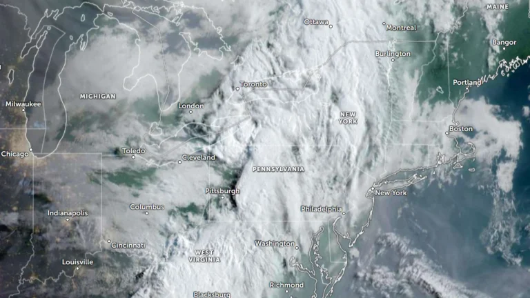
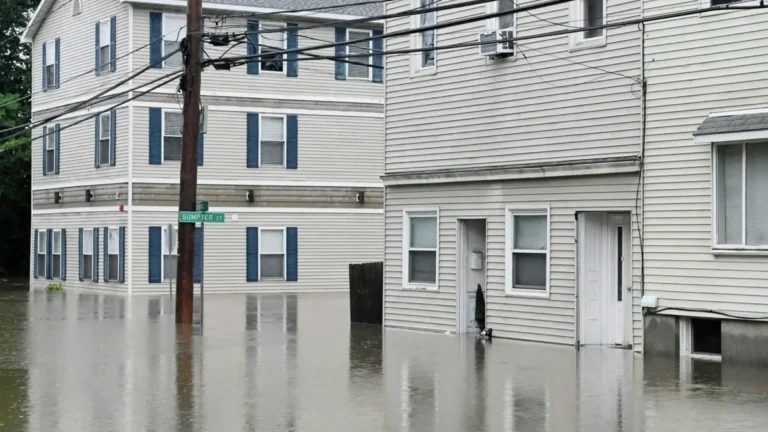
    Flash flooding and torrential rain prompted Putnam Valley to declare a state of emergency effective at 16:00 LT on July 29, 2026, after numerous road and bridge closures. A National Weather Service (NWS) Public Information Statement compiled rainfall reports showing up to 299.47 mm (11.79 inches) over 48 hours at Schodack, while Albany received 138.43 mm (5.45 inches) on July 29, marking its second-wettest calendar day in daily records dating to 1874.
  • New Jersey man killed by lightning during severe thunderstorms

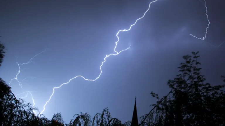
    A 32-year-old man was killed after being struck by lightning in Monroe Township, New Jersey, on Tuesday, July 29, 2026, as severe thunderstorms swept across the state, bringing dangerous cloud-to-ground lightning, torrential rainfall, flash flooding, and widespread disruptions. The fatality occurred as another round of severe weather affected New Jersey, following multiple storm systems earlier this month that caused widespread flooding, extensive power outages, and significant damage to transportation infrastructure.

  • Moderate Risk of excessive rainfall issued for parts of the Northeast, U.S.

    The Weather Prediction Center (WPC) has issued a Moderate Risk (Level 3 of 4) of excessive rainfall for portions of the northeastern United States on Wednesday, July 29, 2026. Repeated rounds of heavy rainfall could produce significant and potentially life-threatening flooding across parts of eastern New York, western Massachusetts, southern Vermont, and adjacent areas of Connecticut.

  • Dangerous surf to impact east-facing shores as Tropical Depression Fausto weakens north of Hawaii

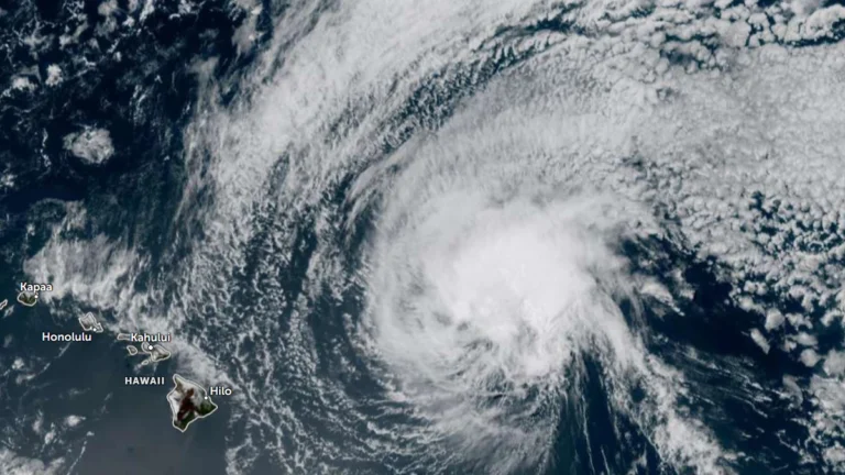
    Former hurricane Fausto weakened to a tropical depression as it tracked north of the Hawaiian Islands late Tuesday, July 28, 2026. Dangerous surf generated by it is building across exposed east-facing shores of the Hawaiian Islands and is expected to remain hazardous through Wednesday, July 29, as the weakening cyclone passes north of the state. Forecasts indicate the strongest winds and heaviest rainfall will stay north of the islands. There are no coastal watches or warnings currently in effect.

  • Eruptive episode 52 begins at Kīlauea volcano, Hawaii

    Kīlauea’s ongoing summit eruption entered Episode 52 at 19:10 HST (05:10 UTC on July 29), July 28, 2026, as sustained lava fountaining began from the north vent inside Halemaʻumaʻu crater, prompting the U.S. Geological Survey’s Hawaiian Volcano Observatory (HVO) to raise the volcano’s Alert Level from ADVISORY to WATCH and its Aviation Color Code from YELLOW to ORANGE.

  • NWS confirms EF3 tornado in Wisconsin’s Fox Valley

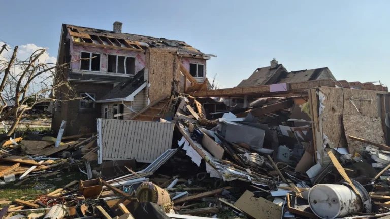
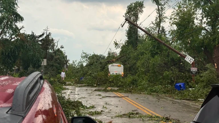
    The tornado that struck Wisconsin’s Fox Valley on Tuesday, July 27, 2026 has been officially rated EF3 by the National Weather Service (NWS), with preliminary surveys estimating peak winds of 225 km/h (140 mph). The tornado formed near Appleton before moving through Fox Crossing and Menasha, while the same outbreak produced widespread wind damage and giant hail across much of northern and eastern Wisconsin.

  • Wildfire smoke from Pacific Northwest fires spreads across much of the U.S., reaching the Mid-Atlantic and Southeast

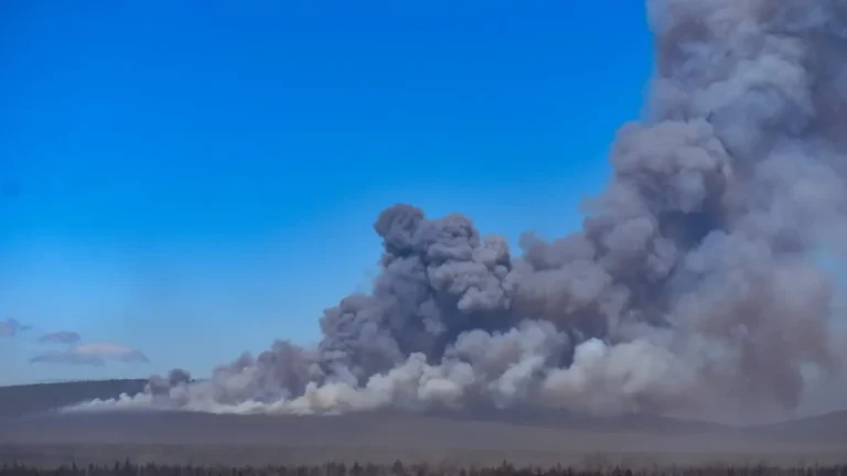
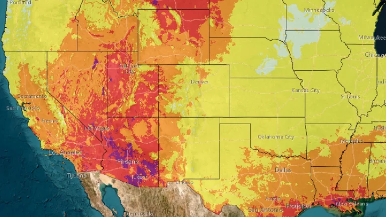
    Smoke from numerous large wildfires burning across the Pacific Northwest since a widespread lightning outbreak in mid-July 2026 continues to spread across much of the continental United States, with satellite observations, air quality monitoring and smoke forecast models showing plumes extending from the Northwest through the northern Plains, Midwest and Great Lakes into the Mid-Atlantic and parts of the Southeast.

  • Moderate Risk of excessive rainfall issued for Tri-State area as heavy rain threatens parts of the Northeast

    A Moderate Risk of excessive rainfall and potentially significant flash flooding is in effect for parts of New Jersey, New York, and Connecticut on Tuesday, July 28, 2026 as an unusually strong upper-level low develops over the Northeast. The National Weather Service’s Weather Prediction Center warns that repeated thunderstorms may produce rainfall rates of up to 51 mm (2 inches) per hour, with the greatest threat centered on the New York City tri-state region.

  • Local State of Disaster declared after tornado tears through Menasha, Appleton and Neenah, Wisconsin

    A destructive tornado crossed Lake Winnebago before striking communities across Wisconsin’s Fox Valley on Monday, July 27, 2026, causing extensive damage in Menasha, Appleton, and Neenah. Menasha declared a local State of Disaster as emergency crews responded to heavily damaged neighborhoods, gas leaks, and widespread infrastructure damage following a broader outbreak of severe thunderstorms.