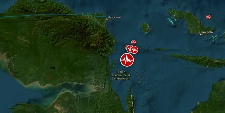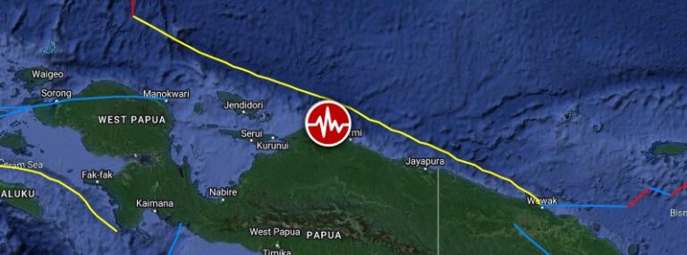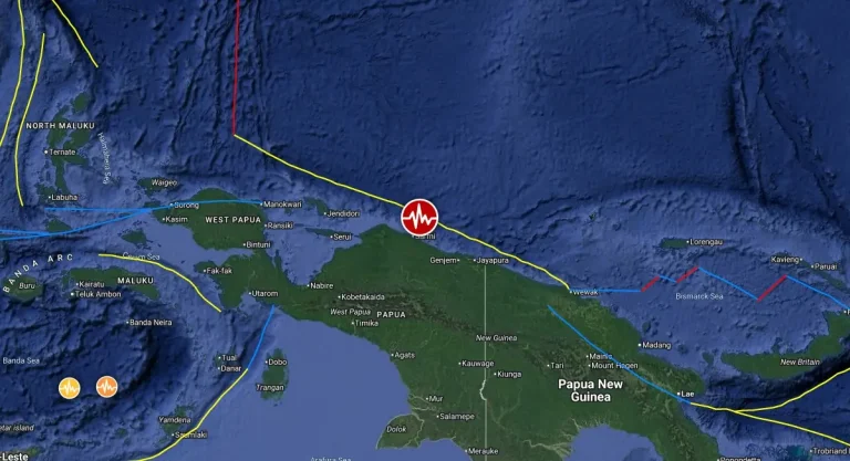
Strong and shallow M6.3 earthquake hits Papua, Indonesia
A strong and shallow earthquake registered by the USGS as M6.3 hit Papua, New Guinea at 08:24 UTC on August 12, 2025. The agency is reporting a depth of 10 km (6.2 miles). BMKG is reporting M6.3 at a depth of 38 km (23 miles), EMSC M6.3 at a depth of 20 km (12.4 miles).