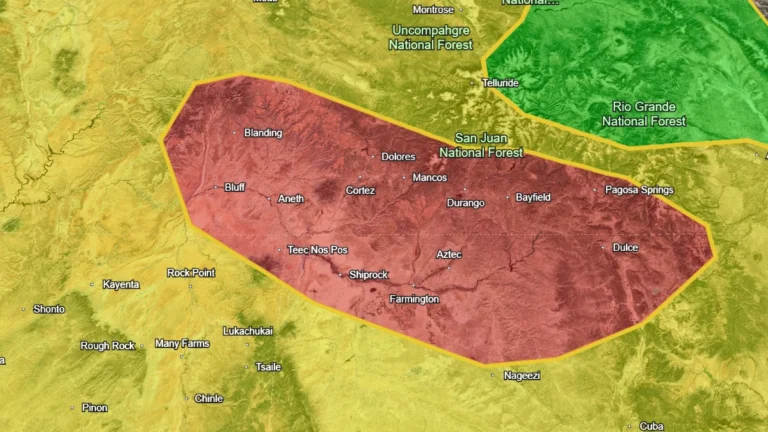
• Flood watches cover the Southwest ahead of a Four Corners heavy-rainfall event, U.S.

    Flood Watches are in effect across parts of Arizona, New Mexico, Utah and Colorado as successive Pacific moisture surges raise the flash-flood threat through early November 2, 2026. The Weather Prediction Center (WPC) has placed the Four Corners under a Moderate Risk of excessive rainfall for November 1, when it expects a high-impact heavy rainfall event over saturated ground.
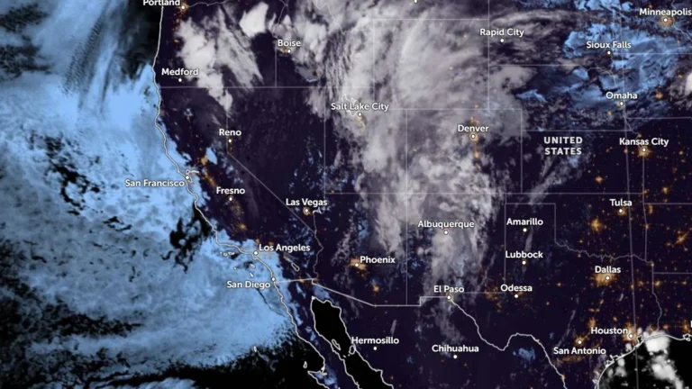
  • Flood Watches cover New Mexico, Utah and Colorado, heavy-rain threat shifts to South Dakota

    Another round of heavy showers and thunderstorms was forecast across parts of New Mexico, Utah and Colorado on September 17, 2026, prompting Flood Watches for areas vulnerable to rapid runoff and flash flooding. A moisture-rich disturbance was then expected to move northeast into South Dakota, where the National Weather Service’s Weather Prediction Center (WPC) forecast 51–102 mm (2–4 inches) of rain with locally higher totals.

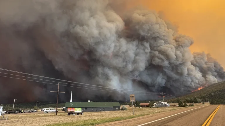
  • Aspen Acres Fire destroys 155 structures, three Colorado wildfires burn over 25 000 ha (62 000 acres)

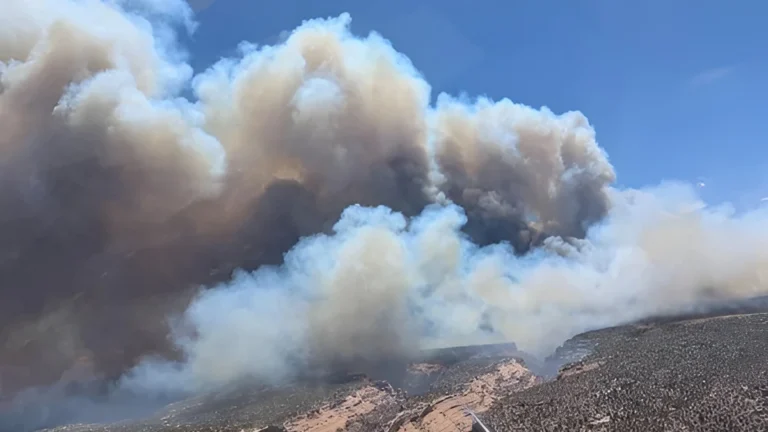
    The Aspen Acres Fire destroyed at least 155 structures in Pueblo and Custer counties. This fire, together with Ferris and Gold Mountain fires burned a combined 25 077 ha (61 969 acres) across Colorado by late June 30, 2026. Critical fire weather conditions are forecast to continue supporting rapid fire growth through at least July 3.

  • State of Disaster Emergency declared for Colorado as Sharpe Fire grows to over 11 400 ha (28 000 acres)

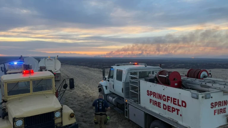
    A State of Disaster Emergency has been declared for the state of Colorado due to the rapidly growing Sharpe Fire that has scorched 11 400 ha (28 000 acres). Mandatory evacuations were issued for Campo and surrounding rural areas in southeastern Colorado after the Sharpe Fire crossed from Oklahoma under critical fire weather conditions on Sunday, May 17, 2026. 

  • Heavy, wet May snow disrupts Colorado’s Front Range

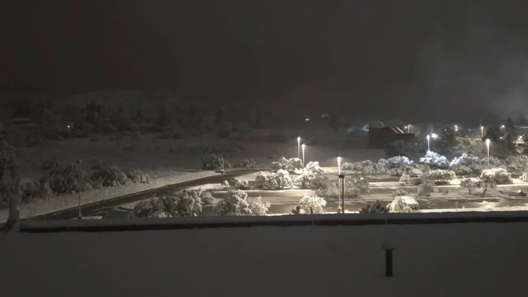
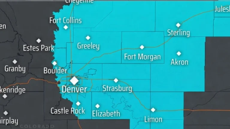
    A heavy, wet late-season snowstorm affected Colorado’s Front Range, foothills, mountains, and I-25 urban corridor from Tuesday, May 5, into Wednesday, May 6, 2026, closing schools, prompting travel advisories and shelter activation, delaying flights at Denver International Airport, and causing scattered power outages. NWS Denver/Boulder forecast 13-20 cm (5-8 inches) along the I-25 corridor, with local totals up to 30 cm (12 inches) near the foothills and Palmer Divide. Heavier mountain snow was also forecast along and north of I-70, where CDOT warned of hazardous travel conditions.

  • Over 75 vehicles involved in I-70 pileup near Eisenhower Tunnel in Colorado

    A multi-vehicle pileup involving more than 75 vehicles occurred at about 14:50 LT on Tuesday, April 14, 2026, on the Highway 6 eastbound on-ramp to Interstate 70 near mile marker 216, just east of the Eisenhower–Johnson Memorial Tunnel in Clear Creek County, Colorado, during snowy and slick mountain driving conditions. Colorado State Patrol said 19 people were medically evaluated, eight were taken to hospitals, and one person sustained serious injuries. Eastbound I-70 remained closed for about five hours before reopening later that evening.