Tropical Storm Boris forms off Guerrero coast, flooding rains threaten southern Mexico
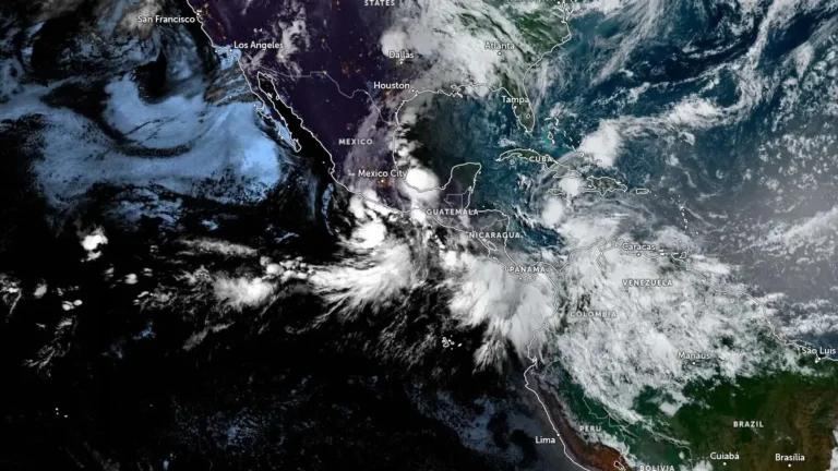
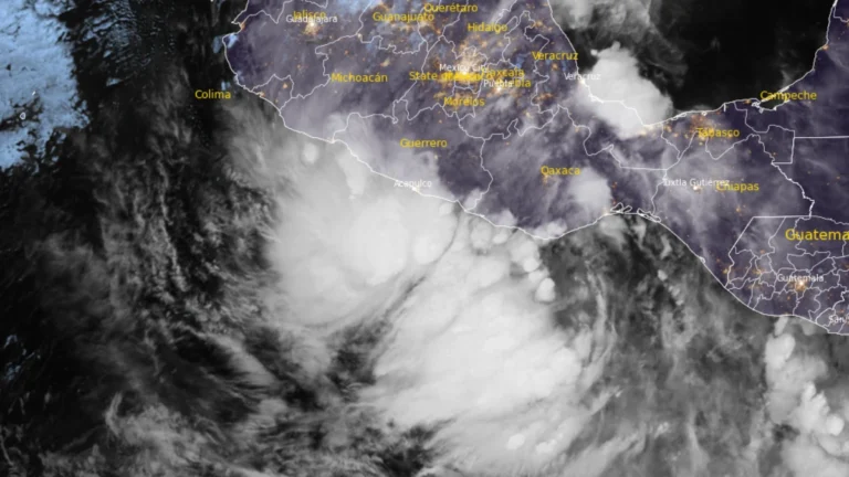
Tropical Storm Boris formed just offshore of Guerrero, Mexico, at 09:00 UTC on June 8, 2026. Tropical storm warnings are in effect along portions of the southern coast, with heavy rainfall capable of producing life-threatening flooding and mudslides being forecast.