• Typhoon Dolphin strengthens near Okinawa, 5 injured as China braces for landfall

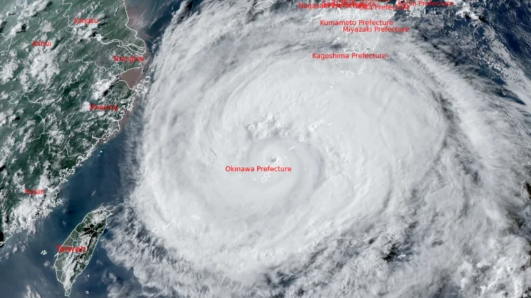
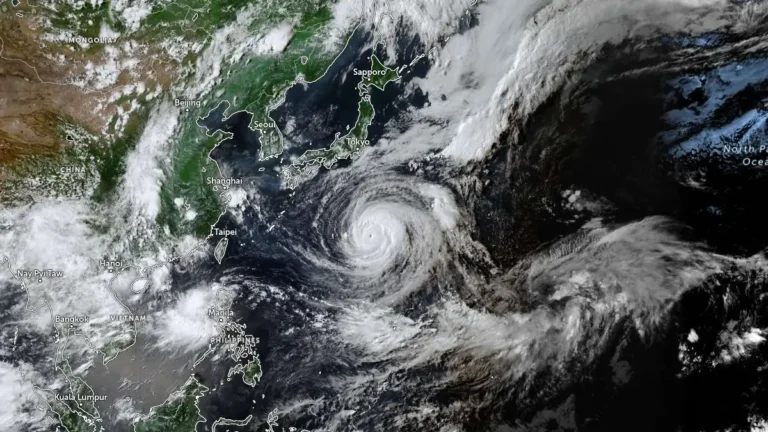
    Typhoon Dolphin re-intensified while passing close to northwestern Okinawa on August 7, 2026, leaving at least five people injured, five homes partially damaged and 16 920 households without power. China’s National Meteorological Center (NMC) said the typhoon could strengthen further before making landfall between Zhejiang and northern Fujian from the afternoon of August 9 to the morning of August 10, with eastern Zhejiang potentially receiving more than 600 mm (23.6 inches) of rain through August 10.

  • Dust-storm warnings cover sections of I-10 and state routes in southern Arizona

    Two walls of dust crossed southern Arizona late on August 5 and early on August 6, 2026, reducing visibility to approximately 400 m (0.25 miles) across parts of Pima and Pinal counties. Winds above 97 km/h (60 mph) accompanied the stronger wall in central Pima County, creating dangerous travel conditions along several state highways and sections of Interstate 10.

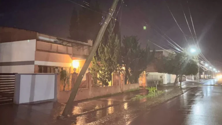
  • Frontal system leaves 2 dead and 5 550 homes damaged or destroyed in Chile

    A frontal system that affected central and southern Chile between August 1 and 2, 2026, left two people dead, 1 399 affected, 156 in shelters and 536 isolated as of August 3. Ten red alerts and 10 yellow alerts remained active because of rising rivers and overflow risks, while authorities reported 5 550 homes damaged or destroyed and 23 104 customers without electricity.

  • New Jersey man killed by lightning during severe thunderstorms

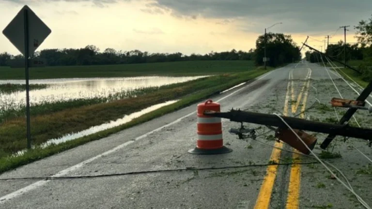
    A 32-year-old man was killed after being struck by lightning in Monroe Township, New Jersey, on Tuesday, July 29, 2026, as severe thunderstorms swept across the state, bringing dangerous cloud-to-ground lightning, torrential rainfall, flash flooding, and widespread disruptions. The fatality occurred as another round of severe weather affected New Jersey, following multiple storm systems earlier this month that caused widespread flooding, extensive power outages, and significant damage to transportation infrastructure.

  • Moderate Risk of excessive rainfall issued for parts of the Northeast, U.S.

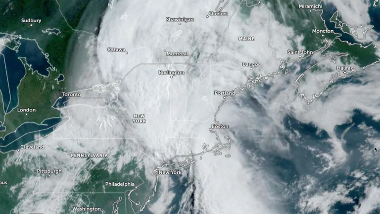
    The Weather Prediction Center (WPC) has issued a Moderate Risk (Level 3 of 4) of excessive rainfall for portions of the northeastern United States on Wednesday, July 29, 2026. Repeated rounds of heavy rainfall could produce significant and potentially life-threatening flooding across parts of eastern New York, western Massachusetts, southern Vermont, and adjacent areas of Connecticut.

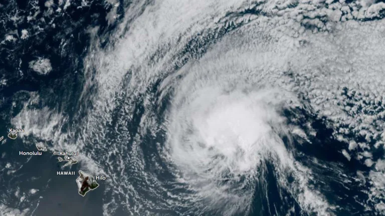
  • Dangerous surf to impact east-facing shores as Tropical Depression Fausto weakens north of Hawaii

    Former hurricane Fausto weakened to a tropical depression as it tracked north of the Hawaiian Islands late Tuesday, July 28, 2026. Dangerous surf generated by it is building across exposed east-facing shores of the Hawaiian Islands and is expected to remain hazardous through Wednesday, July 29, as the weakening cyclone passes north of the state. Forecasts indicate the strongest winds and heaviest rainfall will stay north of the islands. There are no coastal watches or warnings currently in effect.

  • NWS confirms EF3 tornado in Wisconsin’s Fox Valley

    The tornado that struck Wisconsin’s Fox Valley on Tuesday, July 27, 2026 has been officially rated EF3 by the National Weather Service (NWS), with preliminary surveys estimating peak winds of 225 km/h (140 mph). The tornado formed near Appleton before moving through Fox Crossing and Menasha, while the same outbreak produced widespread wind damage and giant hail across much of northern and eastern Wisconsin.