
Cross-polar flow and weak polar vortex drive early-season cold anomaly across North America
A strong early September cold air intrusion is forecast to affect much of the central and eastern United States from September 3 to 7, 2025, with daytime highs of 15–20°C (59–68°F) and overnight lows of 7–9°C (44–48°F) across the Midwest and Great Lakes, up to 10°C (18°F) below average for this time of year. This development also marks a rapid seasonal transition.

850 hPa Temperature Anomaly for 18:00 UTC on September 4, 2025. Credit: GFS, TropicalTidbits, The Watchers
An unusual early-season cold outbreak will impact the central and eastern United States in the first week of September 2025, as a cross-polar flow delivers Arctic air into the Lower 48.
Forecast models indicate a large area of much-below-normal temperatures between September 3 and 7, with the strongest anomalies across the Upper Midwest, Great Lakes, and Northeast.
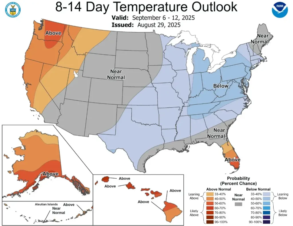
According to the U.S. Climate Prediction Center (CPC), there is a slight risk of much-below-normal temperatures for parts of the Upper Mississippi Valley and Great Lakes on September 6 and 7. Daytime highs in these regions may remain between 15 and 20°C (59–68°F), while overnight lows could fall to 7–10°C (44–50°F), several degrees below climatological norms for early September.
The strongest anomaly is expected in the Midwest and Northern Plains, with highs of 17–19°C (63–66°F) and nighttime lows of 5–9°C (41–48°F). If skies clear, isolated frost cannot be ruled out in northern locations, particularly across Minnesota, Wisconsin, and North Dakota.
Farther south into the Central Plains and Ohio Valley, temperatures will also run below average, though less extreme.
The Southeast will experience moderated effects, with highs of 28–29°C (82–84°F), slightly cooler than the typical early September heat.
The synoptic setup involves a ridge over the North Pacific and western Canada, and a trough extending across the Midwest and eastern United States. At a larger scale, hemispheric pressure changes are reinforcing this circulation, sustaining a rare cross-polar flow that funnels Arctic air southward.
At the same time, the developing stratospheric polar vortex is unusually weak, disrupted by strong ridging across Greenland and the Pacific sector. This maintains a highly dynamic jet stream pattern over North America.
This development also marks a rapid seasonal transition. The active summer regime is breaking down, replaced by a fall-like circulation pattern beginning in early September. Such an abrupt switch is atypical for this time of year and reflects the scale of the ongoing atmospheric reorganization.
While early-season cold intrusions do not guarantee a severe winter, they can serve as precursors for more frequent Arctic outbreaks later in the season.
A weak polar vortex increases the probability of sudden stratospheric warming events, which often lead to midlatitude cold extremes. Longer-term monitoring will be necessary to determine whether this September anomaly is an isolated event or an early signal of broader atmospheric patterns extending into late 2025.
References:
1 US Hazards Outlook – September 6–12, 2025 – NWS Climate Prediction Center
I'm a dedicated researcher, journalist, and editor at The Watchers. With over 20 years of experience in the media industry, I specialize in hard science news, focusing on extreme weather, seismic and volcanic activity, space weather, and astronomy, including near-Earth objects and planetary defense strategies. You can reach me at teo /at/ watchers.news.
Commenting rules and guidelines
We value the thoughts and opinions of our readers and welcome healthy discussions on our website. In order to maintain a respectful and positive community, we ask that all commenters follow these rules.