
Shallow M6.1 earthquake hits Tanimbar region, Indonesia
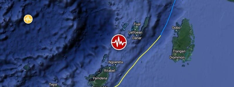
Image credit: TW/SAM, Google
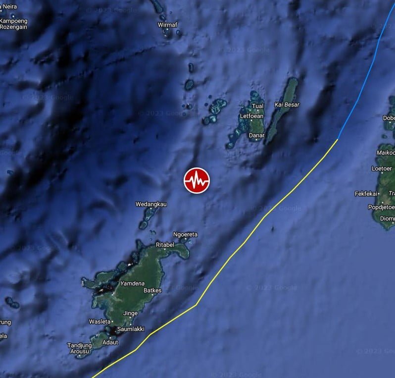
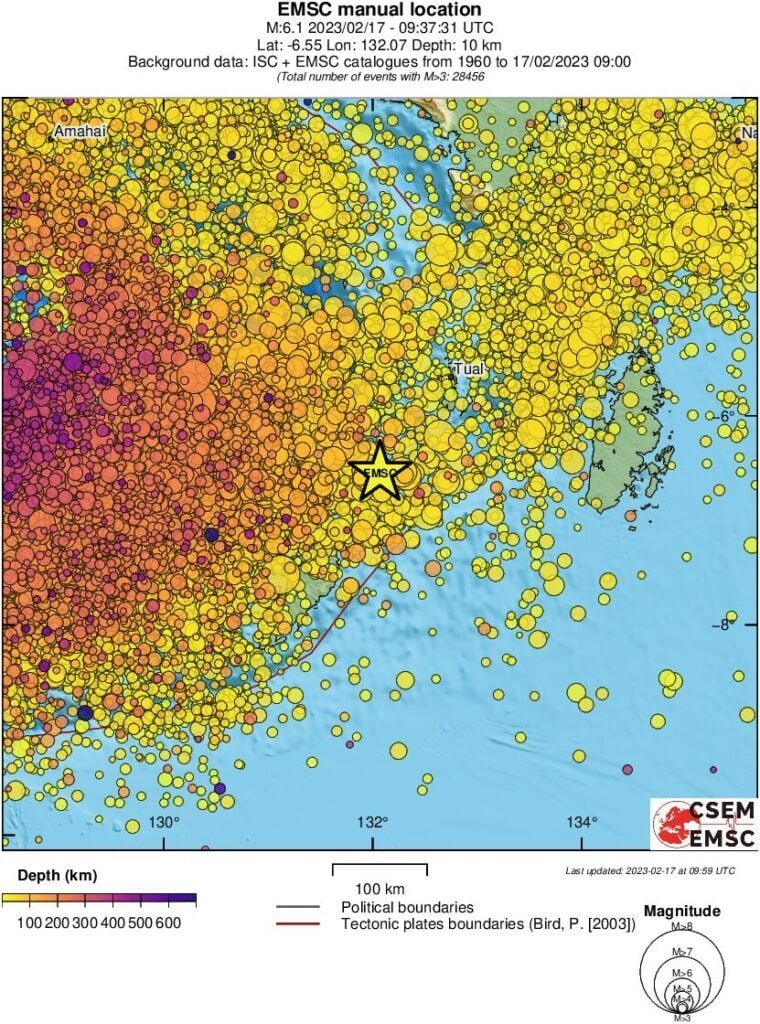
A strong and shallow earthquake registered by the USGS as M6.1 hit the Tanimbar region, Indonesia at 09:37 UTC on February 17, 2023. The agency is reporting a depth of 38.6 km (24 miles). EMSC is reporting M6.1 at a depth of 10 km (6.2 miles).
The epicenter was located about 131.3 km (81.6 miles) SW of Tual, Maluku, and 523.4 km (325.3 miles) SW of Nabire, Papua, Indonesia.
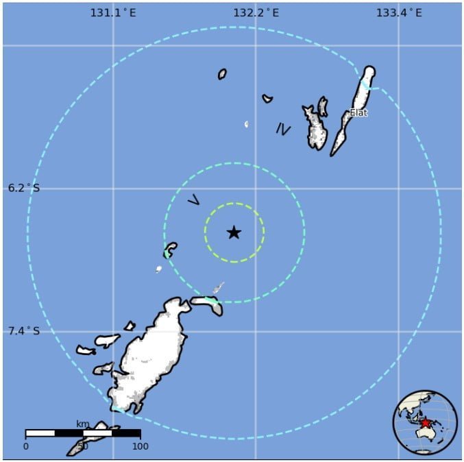
3 000 people are estimated to have felt moderate shaking, and 190 000 light.
The USGS issued a Green alert for shaking-related fatalities and economic losses. There is a low likelihood of casualties and damage.
Overall, the population in this region resides in structures that are vulnerable to earthquake shaking, though resistant structures exist. The predominant vulnerable building types are unreinforced brick with concrete floor and precast concrete frame with wall construction.
Estimated population exposure to earthquake shaking
Regional seismicity
I'm a dedicated researcher, journalist, and editor at The Watchers. With over 20 years of experience in the media industry, I specialize in hard science news, focusing on extreme weather, seismic and volcanic activity, space weather, and astronomy, including near-Earth objects and planetary defense strategies. You can reach me at teo /at/ watchers.news.
As, I stated many times before, the increase of geological activity like earthquakes and volcanic eruption, has to do with the rapid reversal process of the geomagnetic field. Earth has entered its final stage of the magnetic reversal process with the declining strength of the magnetosphere and rapid shift of the poles. Now, large amount of magnetic radiation is penetrating the magnetosphere inducing huge magnetic pressure on the interior of the Earth, especially on the seismically active regions, and surely this pressure will increase further in the time to come