
La Niña established in the tropical Pacific
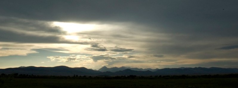
Image credit: Frank Juarez
La Niña part of a cycle known as the El Niño-Southern Oscillation (ENSO) has developed in the Pacific Ocean, the Australian Bureau of Meteorology announced on November 23, 2021. Consequently, BOM's ENSO Outlook has been raised to LA NIÑA. Climate models suggest this La Niña will be short-lived, persisting until the late southern hemisphere summer or early autumn 2022. La Niña events increase the chance of above-average rainfall across much of northern and eastern Australia during summer.
Several indicators of the El Niño–Southern Oscillation (ENSO) now show clear La Niña patterns. Sea surface temperatures in the tropical Pacific are close to La Niña thresholds, with climate model outlooks expecting them to cool further. In the atmosphere, cloud and wind patterns are typical of La Niña, indicating the atmosphere is now responding to, and reinforcing, the changes observed in the ocean.1
The negative Indian Ocean Dipole (IOD) is approaching its end, with oceanic index values in the neutral range. However, cloud and wind patterns across the eastern Indian Ocean suggest some IOD influence remains. All models indicate the IOD will remain neutral for the coming months, consistent with its typical seasonal cycle. A negative IOD increases the chances of above-average spring rainfall for much of southern and eastern Australia.
The Madden–Julian Oscillation (MJO) is currently over the Maritime Continent region at weak to moderate strength. The MJO is forecast to progress eastwards across the Maritime Continent and into the western Pacific over the coming fortnight, increasing the chances of above-average rainfall across northern Australia and the Maritime Continent, to Australia's north.
The Southern Annular Mode (SAM) has generally been positive for several weeks. It is forecast to remain at positive levels to the end of the year. A positive SAM during summer typically brings wetter weather to eastern parts of Australia, but drier than average conditions for western Tasmania.
Dr. Andrew Watkins, BOM's Head of Operational Climate Services, said that typically during La Niña events, rainfall becomes focused in the western tropical Pacific, leading to wetter than normal period for eastern, northern and central parts of Australia.2
"La Niña also increases the chance of cooler than average daytime temperatures for large parts of Australia and can increase the number of tropical cyclones that form," Watkins said.
"La Niña is also associated with earlier first rains of the northern wet season, as we've observed across much of tropical Australia this year.
"The last significant La Niña was 2010 – 12. This strong event saw large impacts across Australia, including Australia’s wettest two-year periods on record, and widespread flooding.
"La Niña also occurred during spring and summer of 2020-21. Back-to-back La Niña events are not unusual, with around half of all past events returning for a second year."
This year's event is not predicted to be as strong as the 2010-12 event and may even be weaker than in 2020-21 La Niña event.
"Every La Niña has different impacts, as it is not the only climate driver to affect Australia at any one time. That's why it is important not to look at it in isolation and use the Bureau’s climate outlooks tools online to get a sense about likely conditions for the months ahead," Watkins said.
The Bureau previously shifted to La Niña WATCH on September 14, 2021, and to La Niña ALERT on October 12, 2021.
References:
1 La Niña established in the tropical Pacific – November 23, 2021 – BOM
2 Bureau of Meteorology declares La Nina underway – Media release November 23, 2021 – BOM
The Watchers team and our contributors bring the latest on extreme weather, earthquakes, volcanic eruptions, space weather, and all things science. We're all about making sense of the natural world and keeping you informed on what’s happening. Got a tip or a question? Hit us up using the form at newstips!
Commenting rules and guidelines
We value the thoughts and opinions of our readers and welcome healthy discussions on our website. In order to maintain a respectful and positive community, we ask that all commenters follow these rules.