
Powerful thunderstorms rip through Midwest, leaving tens of thousands without power, U.S.

Image credit: Pixabay
A series of strong thunderstorms ripped through parts of the U.S., including eastern Iowa, Kentucky, southern Indiana, Illinois, Nebraska, and southern Wisconsin on July 9, 2020. Many trees and power lines were downed, leaving tens of thousands without electricity, with more than 30 000 customers affected in the Chicago area alone.
Up to 30 245 ComEd customers in the Chicago area were without power Thursday evening as thunderstorms downed trees and electricity poles. In suburban Kane County, 13 458 customers were affected, 9 440 in Lake County and 6 900 in Cook County.
The storms rolled through Eastern Iowa, leaving damage across the area. Branches and other debris were scattered across the streets. Several trees collapsed on houses and properties, and blocked roads. The heavy rain resulted in flooding in some parts of the state.

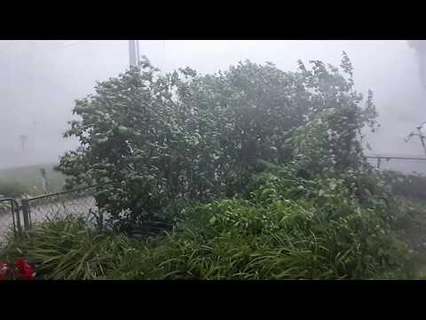
Across Kentucky and Southern Indiana, storms were reportedly "hit and miss" this week.
According to local media WHAS-TV, a "pulse" thunderstorm occurs in the areas, which "typically develop during the summer months here in Kentuckiana but unlike clusters or lines of thunderstorms that move across and impact a larger area, these are typically isolated in nature and their impacts are very localized."
On July 9, the National Weather Service Storm Prediction Center (NWS SPC) received numerous reports of damaging wind from both states.
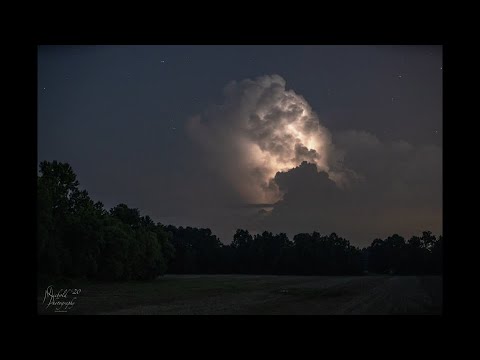
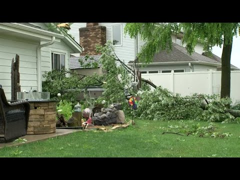
In Nebraska, heavy winds downed trees, limbs, and power grids, disrupting electricity to more than 5 000 LES customers.
In southern Wisconsin, Alliant Energy and Madison Gas & Electric both reported power outages that affected thousands of people throughout the area. The hardest-hit areas included Delavan, Janesville, Sauk City, and Mazomanie.

Earlier reporting
Nothing on Watchers was published in the last 24 hours. These are older articles.
- 2 atmospheric rivers to bring heavy Sierra snow and California flood risk
- CPC posts a slight risk of heavy rain from the Gulf Coast to the Northeast urban corridor November 25-29, and a moderate risk of West Coast wind and Sierra snow on November 25
- The storms drenching California this week are fed by a river in the sky, a band of water vapor that can carry up to 15 times the flow of the Mississippi River, and this winter’s near-record El Niño could keep aiming more of them at the West Coast
- Atmospheric river brings moderate risk of heavy rain, mountain snow and high winds to northern California and southwest Oregon on November 24-25
