
Historic early-season snowstorm threatens Northern Rockies, USA
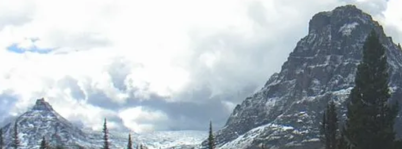
Image credit: National Park Service
An early-season snowstorm which could bring record-breaking impacts is threatening portions of the Northern Rockies. Such storm has not occurred in the area since 1934, the National Weather Service (NWS) said. Winter Storm Watches have been issued across portions of northwestern Montana. The heaviest snow and most extreme conditions are forecast to occur on Saturday and Sunday, September 28 and 29, 2019.
"The first day of fall might have been a few days ago, but the Northern Rockies are skipping straight into winter," NWS forecaster Snell said.
Up to 102 cm (40 inches) of snow could hit some mountain ranges of northwestern Montana, with gusts potentially up to 64.37 km/h (40 mph). The strong storm may also result in flight cancelations.
In some areas, heavy snow may reach up to 91 m (3 feet), bringing early winter to parts of Idaho, Montana, and Wyoming from Friday through Sunday.
According to weather reports, elevated lands may receive 30 to 60 cm (1 to 2 feet) of snow.
New Weather Graphic Issued: Winter Storm Watch. More info at https://t.co/9noRXI71Sk. #mtwx pic.twitter.com/Kf7ZmEfL8j
— NWS Great Falls (@NWSGreatFalls) September 26, 2019
New Weather Graphic Issued: Strong Winds Thu. More info at https://t.co/9noRXI71Sk. #mtwx pic.twitter.com/nd56fs1Cz3
— NWS Great Falls (@NWSGreatFalls) September 25, 2019
"This early-season winter storm and/or blizzard has the potential to set a new benchmark for snow accumulations, cold temperatures and resulting impacts for parts of the Northern Rockies and the Rocky Mountain Front," NWS said.
The agency also stated that extreme impacts are probable, including to the power infrastructure with widespread disruptions, agricultural, recreation, and travel.
"Widespread significant tree damage is possible with the expected heavy, wet snow, and strong winds."
Weekend #WinterStorm UPDATE: it looks like valley #snow is becoming more likely. Accumulations will be minimal, but for so early in the season, it will be a major impact, along w/all the other impacts we'll see. Suffice to say: this will be a historic storm. #mtwx #idwx pic.twitter.com/yRN6niqeST
— NWS Missoula (@NWSMissoula) September 25, 2019
Beginning September 26, a low pressure system will come from Canada that could bring rainfalls into September 27.
Gusts up to 130 km/h (80 mph) may be experienced along the Rocky Mountain Front, triggering high wind warnings in the western Montana area.
Likely "HISTORIC SNOWSTORM" to impact much of MONTANA and parts of WYOMING this weekend! (This is not your typical September dusting!) Stay tuned @weatherchannel @NWSMissoula @NWSGreatFalls pic.twitter.com/SeEPh3AhUl
— Chris Bruin (@TWCChrisBruin) September 25, 2019
The winds from the western part are predicted to be strong enough to destroy trees and power towers. The cause of the cold weather would be the jet stream, which will head from western Canada into the Northwest area later this week.
NWS compared this potential snowstorm to the record in 1934, which dropped over 30 cm (1 foot) of heavy snow in Cut Bank and Great Falls, Montana, and more than 15 cm (6 inches) in Helena. Residents are prompted to expect warnings in the coming days.
Going to get real interesting in the years ahead. The global warming alarmists will have a tough time spinning that which nature is about to do. Nature is always correct, science egos and models very seldom.
You need to understand the root cause for the behavior of the polar vortex like this that is behind this storm.
The temperature anomaly in the arctic i.e. the increase in temperature there. If you are an engineer or science minded person the data is clear.
https://forum.arctic-sea-ice.net/index.php?action=unread
Some of the effects of abrupt climate change or abrupt global warming will me massive snow and rain storms in the central USA (grain belt of Canada also). Destroying crops etc. There is a real possibility that certain species of trees and grasses can die off in a single anomalous season.
The possibility now exists for a storm such as this to occur in the grain belt in June and destroy all the crops. Then you will see some folks take notice. They will wonder how is cold weather and snow related to abrupt global warming and the answer will be the loopy behavior of the polar vortex. Here is the site of a scientist in Ottawa that can answer all of your questions:
https://paulbeckwith.net/
Oh ya the bad news. The rate of change is exponential and it can not be stopped. We missed that window a few decades ago.