
Strong M 6.2 earthquake at Pacific – Antarctic Ridge
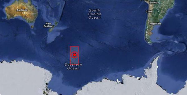
Image credit: TW
Strong and shallow earthquake registered as M 6.2 occurred in Pacific – Antarctic Ridge (62.580°S, 161.397°W) on January 15, 2013 at 16:09:37 UTC. According to USGS, the epicenter was at the depth of 10 km (6.2 miles) while EMSC recorded M 6.1 at depth of 80 km (49.7 miles).
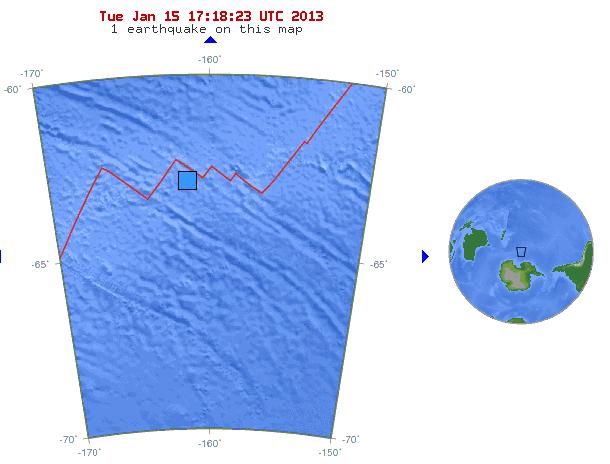 10-degree Map Centered at 65°S,160°W – recent activity (Credit: USGS)
The epicenter is far from any settlements. The nearest place is Antarctic, nearly 1000 km ENE and New Zealand, some 2500 km SSE.
| Magnitude | 6.2 |
|---|---|
| Date-Time |
|
| Location | 62.580°S, 161.397°W |
| Depth | 10 km (6.2 miles) |
| Region | PACIFIC-ANTARCTIC RIDGE |
| Distances | 1029 km (639 miles) ENE of Scott Island Bank, Antarctica 2570 km (1596 miles) SSE of Dunedin, New Zealand 2617 km (1626 miles) SE of Invercargill, New Zealand 2617 km (1626 miles) SE of Gore, New Zealand |
| Location Uncertainty | horizontal +/- 27 km (16.8 miles); depth +/- 3.4 km (2.1 miles) |
| Parameters | NST= 58, Nph= 58, Dmin=>999 km, Rmss=1.07 sec, Gp= 50°, M-type=”moment” magnitude from initial P wave (tsuboi method)(Mi/Mwp),Version=7 |
| Source |
|
| Event ID | usb000epcu |
Commenting rules and guidelines
We value the thoughts and opinions of our readers and welcome healthy discussions on our website. In order to maintain a respectful and positive community, we ask that all commenters follow these rules.